Login

Forgot your login?

Cookies have to be accepted!
Your browser's cookie functionality is disabled. Please enable this functionality.

Not a member yet?

Register now
Login

Available for registred users only

Log in to use this feature.

Forgot your login?

Cookies have to be accepted!
Your browser's cookie functionality is disabled. Please enable this functionality.

Not a member yet?

Register now
Filter
Categories
Advanced filters
  • Distance (km)
  • Height
Save filters Reset filter

TrackRank

QRCode

Technical data

Distance35,9 km Height1002 m Way down1009 m Duration00:00 h:m Date15.10.2011
Scores Author Landscape Fun factor Fitness Technique

Statistics

379 Views Scores 10 Downloads Average
Rate
  • Track data sheet
  • Directions
  • Downloads

Еднодневен кръгов маршрут

Маршрутът е подходящ ако сте отседнали в с. Горни Юруци и желате да направите целодневна вело разходка.

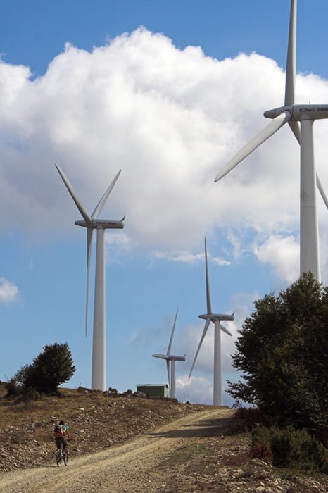
Маршрутът изкача най-високата точка на рида Мъгленик - вр. Коджа еле (среща се и в превод като Ветрен) с 1256 м.н.в. Движи се по държавната граница и слиза на прикриващия път, по който се връща в селото. От билото се откриват невероятни гледки към Родопите в българска и гръцка земя.


Tour gallery

Tour map and elevation profile

  • Open Street Map
  • Google
Minimum height 457 m Maximum height 1256 m Detailed view

More about the tour author

Icho
Member since 2010

Send private message

Comments

GPS tracks

Trackpoints
  • GPX / Garmin Map Source (gpx) download
  • TCX / Garmin Training Center® (tcx) download
  • CRS / Garmin Training Center® (crs) download
  • Google Earth (kml) download
  • G7ToWin (g7t) download
  • TTQV (trk) download
  • Overlay (ovl) download
  • Fugawi (txt) download
  • Kompass (DAV) Track (tk) download
  • Track data sheet (pdf) download
  • Original file of the author (gpx) download

More about the tour author

Icho
Member since 2010

Send private message
Share track
Add to my favorites
Remove from my favorites
Edit tags
My score
Rate
Track: Горни Юруци - Коджа еле - Горни Юруци
Type: Mountain bike
Distance: 35,9 km
Evaluated on:
Duration:
Day(s)
Hour(s)
Minute(s)
Score: Landscape Fun factor Fitness Technique