


Stuttgart - Tübingen mit kaum Autostraßen-Nutzung.
Tour beginnt am Olgaeck in Stuttgart-Mitte.
Bin die Strecke am 14.10.2011 mit dem Mountainbike gefahren. Die Tour wurde von openrouteservice.org berechnet, allerdings waren wenige Waldstücke gesperrt oder zugewachsen. Diese habe ich entsprechend umfahren.
Auf der Straße fährt man nur etwa 2 km kurz nach Dettenhausen, sonst nur Waldwege und Feldwege oder sogar paar Singletrails (S1-Niveau) im Bereich Siebenmühlental.
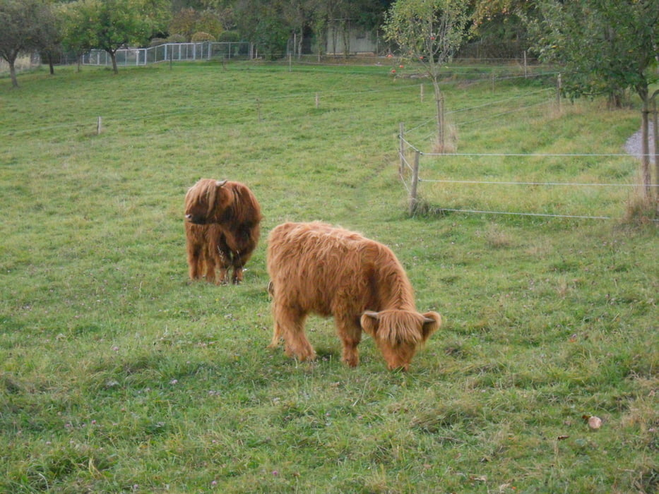
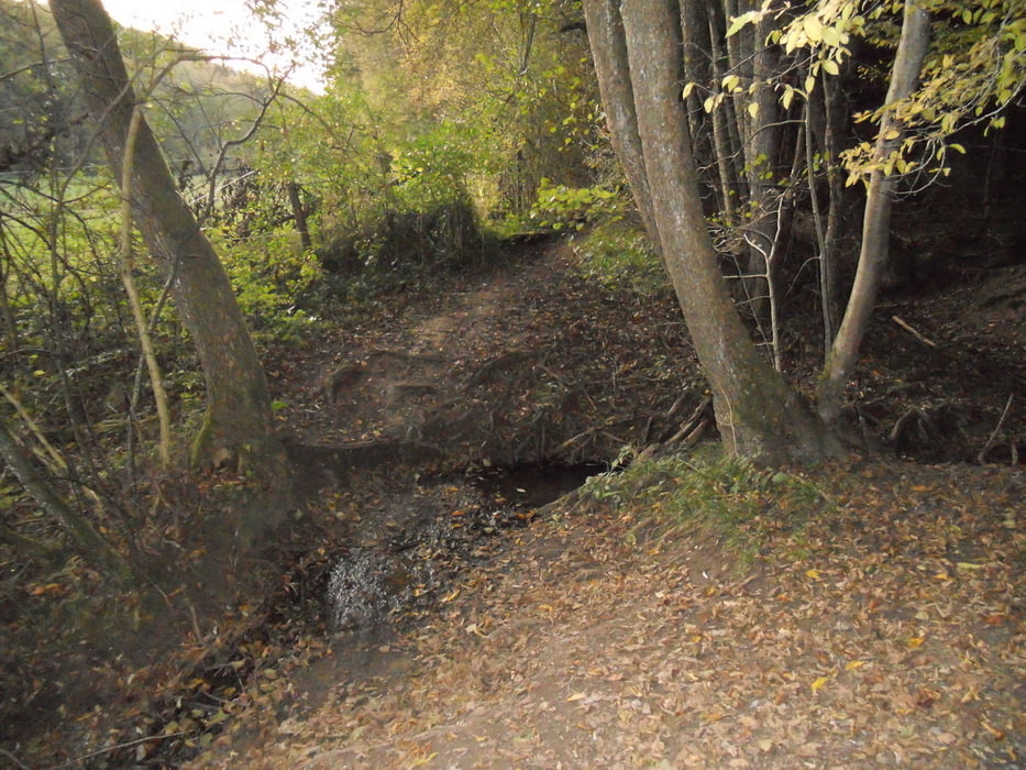
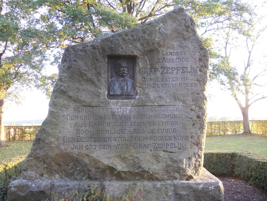
Tour gallery

Tour map and elevation profile
Minimum height 130 m
Maximum height 509 m
More about the tour author

|
kampfgrieche |
Comments

GPS tracks
Trackpoints-
GPX / Garmin Map Source (gpx) download
-
TCX / Garmin Training Center® (tcx) download
-
CRS / Garmin Training Center® (crs) download
-
Google Earth (kml) download
-
G7ToWin (g7t) download
-
TTQV (trk) download
-
Overlay (ovl) download
-
Fugawi (txt) download
-
Kompass (DAV) Track (tk) download
-
Track data sheet (pdf) download
-
Original file of the author (gpx) download
More about the tour author
|
|
kampfgrieche |
Add to my favorites
Remove from my favorites
Edit tags
Open track
My score
Rate