


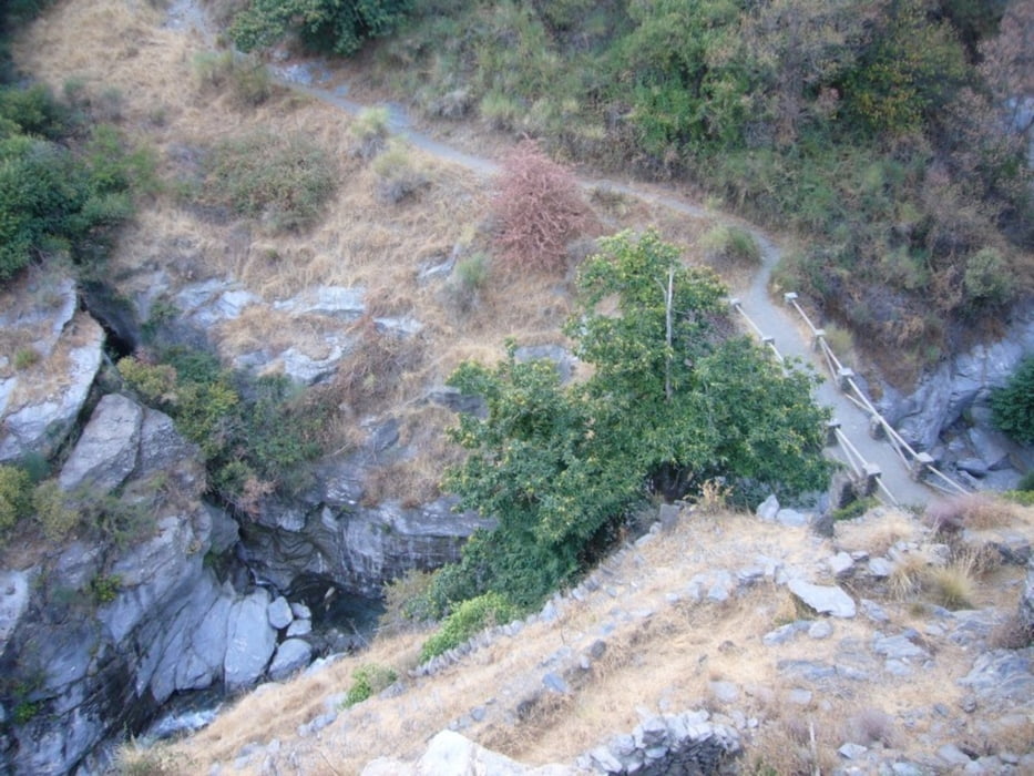
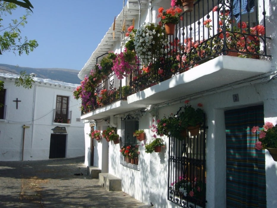
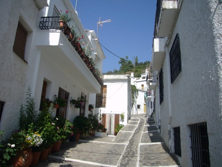
Ausgangspunkt dieser Wanderung ist Pampameira. Vorbei an terassierten Gärten und Feldern gelangt man über Bubion nach Capileira. Zwischen Bubion und Capileira ist der Weg nicht so leicht zu finden. Von Capileira geht es in die Poqueira Schlucht hinab (Weg teilweise überspült). Überdie Puente del Molino geht es am gegenüberliegenden Hang wieder zurück nach Pampaneira.
Teilweise ist Trittsicherheit erforderlich. Da es im Sommer sehr heiss wird, muss man die richtige Tageszeit für die Wanderung wählen und vor allem viel Trinkwasser mitnehmen. Knöchelhohe Schuhe sind anzuraten.
Further information at
http://de.wikipedia.org/wiki/PampaneiraTour gallery
Tour map and elevation profile
Minimum height 1019 m
Maximum height 1451 m
More about the tour author

|
grenz-pfad-fahrer |
Comments

Von Orgiva den Wegweisen nach Pampaneira folgen. Parkmöglichkeit im Ort.
GPS tracks
Trackpoints-
GPX / Garmin Map Source (gpx) download
-
TCX / Garmin Training Center® (tcx) download
-
CRS / Garmin Training Center® (crs) download
-
Google Earth (kml) download
-
G7ToWin (g7t) download
-
TTQV (trk) download
-
Overlay (ovl) download
-
Fugawi (txt) download
-
Kompass (DAV) Track (tk) download
-
Track data sheet (pdf) download
-
Original file of the author (gpx) download
More about the tour author
|
|
grenz-pfad-fahrer |
Add to my favorites
Remove from my favorites
Edit tags
Open track
My score
Rate