


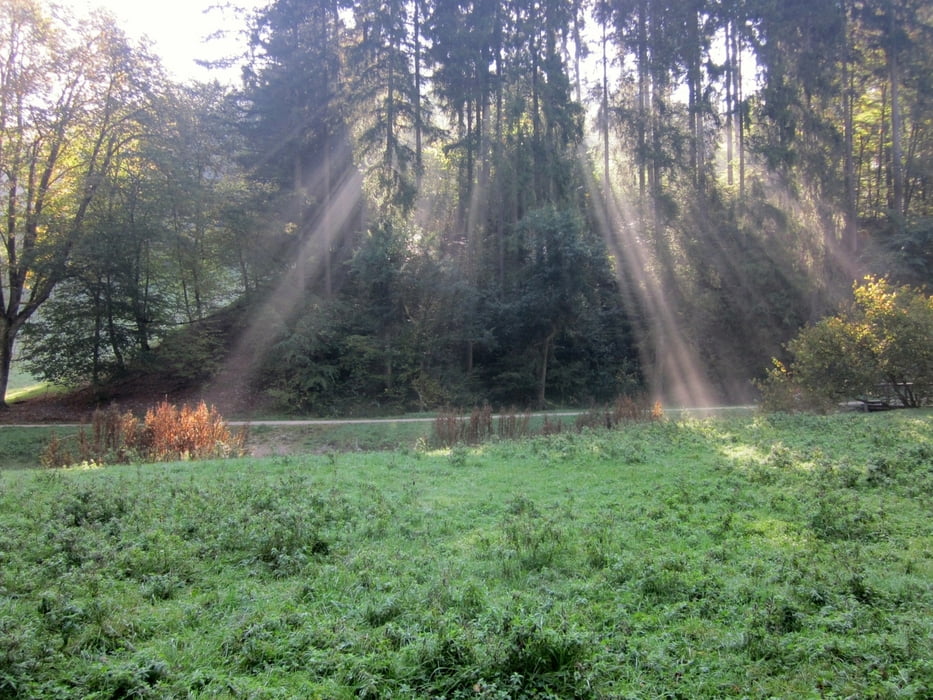
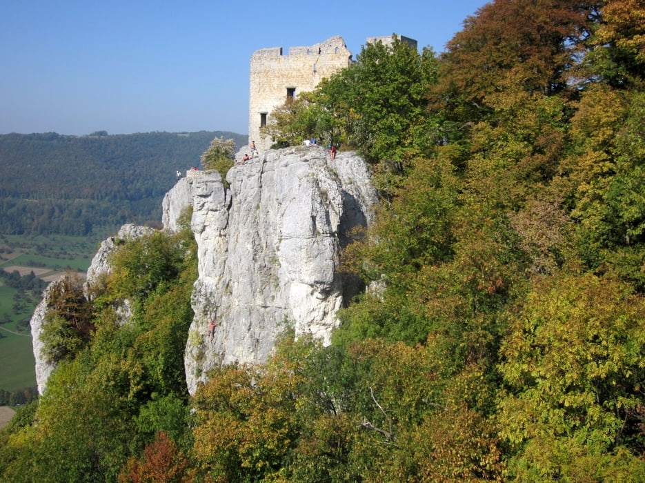
Wir starten am Wanderparkplatz Papiermühle bei Wiesensteig. Direkt am Parkplatz überqueren wir die Fils auf einen Wiesenweg und laufen entlang des idyllisch gelegenen Bachlaufs bis zum Filsursprung. Von dort ab geht es den Schotterweg aufwärts durch das Hasental zum Grauen Felsen und weiter Richtung Bahnhöfle (Grill- und Rastplatz). Ab dort zunächst auf dem Wanderpfad parallel zur Straße Richtung Wiesensteig. Beschilderung Richtung Reussenstein (Burgruine) folgen. Weiter immer entlang des Albtraufs bis zum Ziegelhof und über das Autal zurück zum Ausgangspunkt.
Further information at
http://www.wiesensteig.de/Wiesensteig/filsursprung.htmlTour gallery


Tour map and elevation profile
Minimum height 558 m
Maximum height 792 m
More about the tour author
|
|
juergenkeller |
Comments

Anfahrt über Autobahn A8 Ausfahrt Anschlußstelle Mühlhausen-Wiesensteig, dann nach Wiesensteig dort in Ortsmitte Richtung Neidlingen abbiegen, kurz vor Ortsende links abbiegen zum Wanderparkplatz Papiermühle/ Filsursprung.
GPS tracks
Trackpoints-
GPX / Garmin Map Source (gpx) download
-
TCX / Garmin Training Center® (tcx) download
-
CRS / Garmin Training Center® (crs) download
-
Google Earth (kml) download
-
G7ToWin (g7t) download
-
TTQV (trk) download
-
Overlay (ovl) download
-
Fugawi (txt) download
-
Kompass (DAV) Track (tk) download
-
Track data sheet (pdf) download
-
Original file of the author (gpx) download
More about the tour author
|
|
juergenkeller |
Add to my favorites
Remove from my favorites
Edit tags
Open track
My score
Rate