


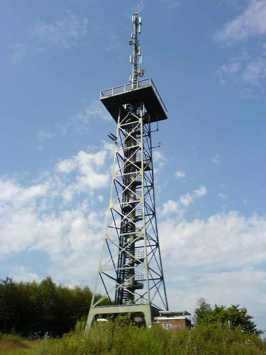
Die Tour beginnt in Hamm an der Sparkasse. Über Wissen geht es Richtung Morsbach. In der Giebelhard rechts ab Richtung Steckelbach. Über Unterbirkholz und Alzen nach Morsbach. Am Aussichtsturm die Aussicht über Morsbach genießen...
Hinter Niederdorf kurz auf die L326 in Richtung Morsbach. Nach wenigen Metern links ab. Am Zielenbacher Bach in Richtung Kömpel. Dann den Berg weiter hinauf und ein Stück an der L324. In Richtung Appenhagen abbiegen. Dann über Steimelhagen und Hagdorn nach Wissen und zurück nach Hamm.
Hinter Niederdorf kurz auf die L326 in Richtung Morsbach. Nach wenigen Metern links ab. Am Zielenbacher Bach in Richtung Kömpel. Dann den Berg weiter hinauf und ein Stück an der L324. In Richtung Appenhagen abbiegen. Dann über Steimelhagen und Hagdorn nach Wissen und zurück nach Hamm.
Tour gallery
Tour map and elevation profile
Minimum height 152 m
Maximum height 389 m
More about the tour author
|
|
hajorenner |
Comments

GPS tracks
Trackpoints-
GPX / Garmin Map Source (gpx) download
-
TCX / Garmin Training Center® (tcx) download
-
CRS / Garmin Training Center® (crs) download
-
Google Earth (kml) download
-
G7ToWin (g7t) download
-
TTQV (trk) download
-
Overlay (ovl) download
-
Fugawi (txt) download
-
Kompass (DAV) Track (tk) download
-
Track data sheet (pdf) download
-
Original file of the author (g7t) download
More about the tour author
|
|
hajorenner |
Add to my favorites
Remove from my favorites
Edit tags
Open track
My score
Rate