


Aufstieg: 4 Stunden
Abstieg: 3 Stunden
Parkplatz - Malga Grantagar (Fischbachalm) - Corsi Hütte - Mosesscharte - Gipfel - Normalweg - Corsi Hütte - Malga Grantagar - Parkplatz
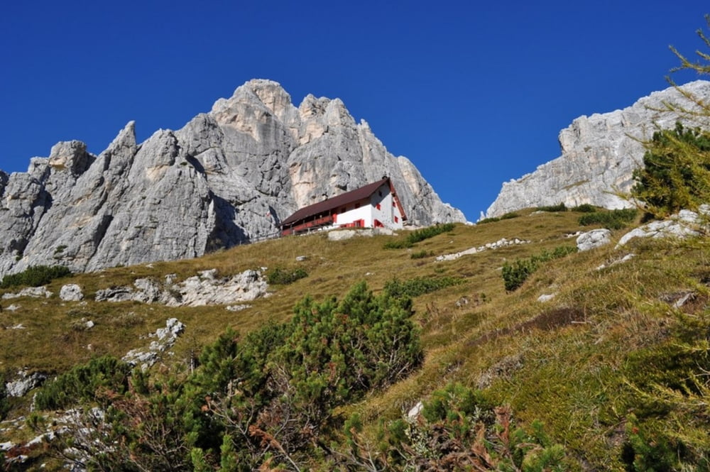
Vom Parkplatz die Schotterstraße entlang bis zur Fischbachalm (Malga Grand Agar). Ein direkter Steig geht von der Alm rechts ab, quert den Bach und zieht steil und mühsam in Windungen ebenfalls zum Rif. Corsi. Ab dem Rif. Corsi den bezeichneten Weg Richtung Wischberg (Jòf Fuart) und bei der nächsten Wegkreuzung links den Steig hinauf zu der Mosesscharte (Forc. Mose).
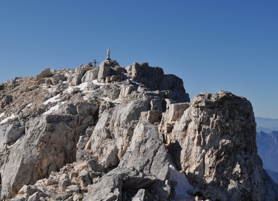
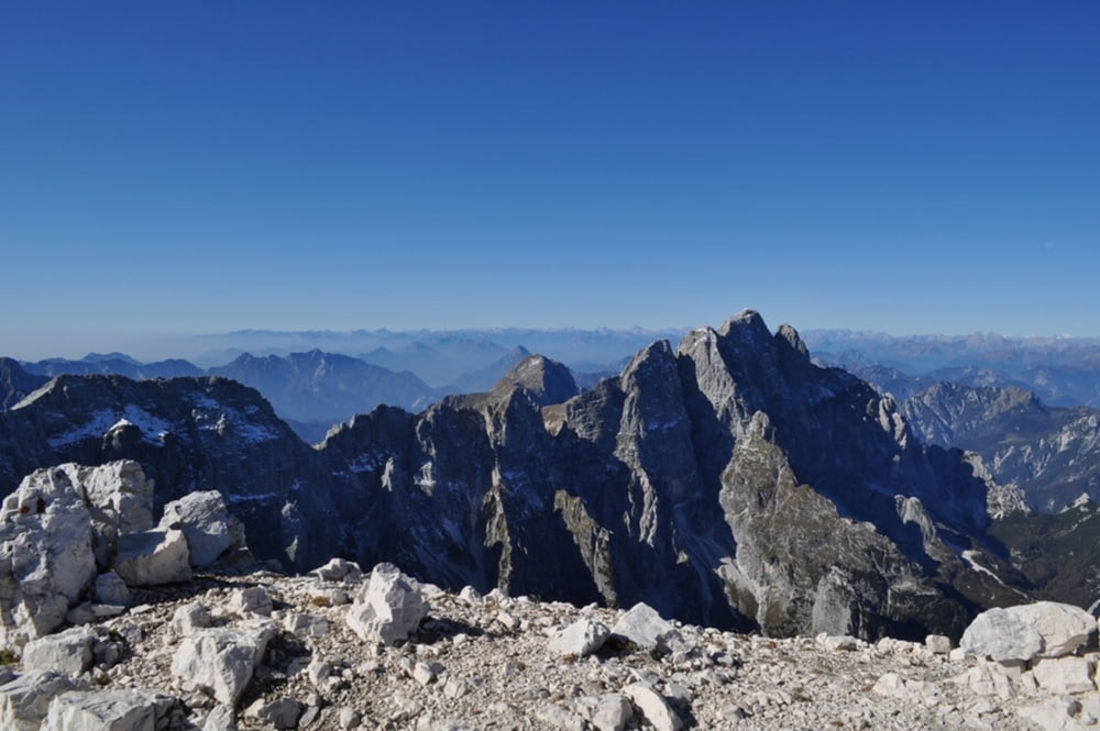
Ab der Mosesscharte rechts wenige Meter auf deutlichen Steigspuren zu Stellungsresten und Karvernen hier gleich links zu einer Steilwand (Bezeichnung Anita Goitan). Über gut griffigen Fels, wobei Eisenstifte und Drahtseile die Aufstiegspartie erleichtern. Nun geht es zuerst ein Felsband entlang, das in weiterer Folge in ein Schotterband auf der Südseite des Wischberges mündet. Bald stößt man auf den Normalweg von der Corsi-Hütte, auf diesem in Serpentinen zum Gipfel.
Abstieg
Über den Normalweg, der teilweise versichert ist, hinunter zur Corsi-Hütte. Den direkten Weg hinunter in steilen Kehren zur Alm und weiter auf der Schotterstraße zum Parkplatz.
Tour gallery

Tour map and elevation profile
Minimum height 1004 m
Maximum height 2660 m
More about the tour author
|
|
harald07071 |
Comments

Parkplatz nach der Abzweigung zwischen Raibl und Sella Nevea an einem Gedenkstein (990 m)
GPS tracks
Trackpoints-
GPX / Garmin Map Source (gpx) download
-
TCX / Garmin Training Center® (tcx) download
-
CRS / Garmin Training Center® (crs) download
-
Google Earth (kml) download
-
G7ToWin (g7t) download
-
TTQV (trk) download
-
Overlay (ovl) download
-
Fugawi (txt) download
-
Kompass (DAV) Track (tk) download
-
Track data sheet (pdf) download
-
Original file of the author (gpx) download
More about the tour author
|
|
harald07071 |
Add to my favorites
Remove from my favorites
Edit tags
Open track
My score
Rate