


Die Tour Startet in Nordhausen und führt über Ilfeld ins Mosebachtal.
Dann über das Radeweghaus zum Carlshausturm, bis hier ist der technische Anspruch gering (S0 – S1). Ab dem Carlshausturm bis nach Sophienhof werden vorwiegend Trails im Bereich S1 bis S2- gefahren, der Rest der Tour führt dann über Waldwege/Flowtrails nach Nordhausen zurück.
Die Angabe der Höhenmeter ist nicht korrekt es sind rund 700 – 800 Hm, hatte bei der Aufzeichnung einige Aussetzer die ich nachträglich beseitigen musste.
Der Track ist aber sonst i.O.
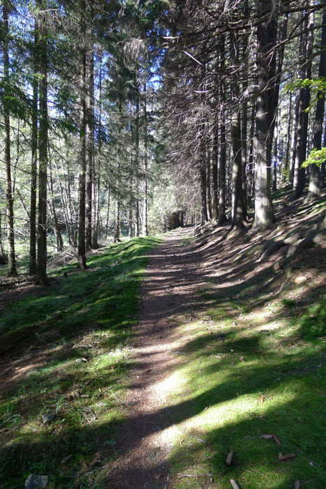
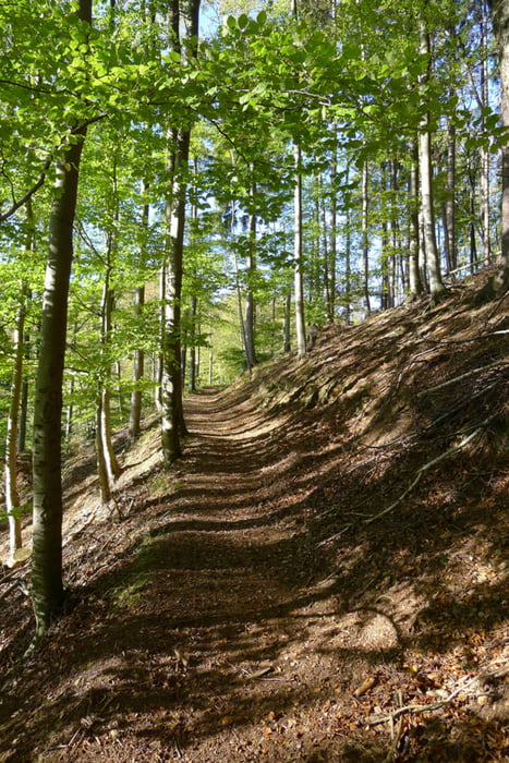
Tour gallery

Tour map and elevation profile
Minimum height 202 m
Maximum height 636 m
More about the tour author
|
|
Marko S |
Comments

GPS tracks
Trackpoints-
GPX / Garmin Map Source (gpx) download
-
TCX / Garmin Training Center® (tcx) download
-
CRS / Garmin Training Center® (crs) download
-
Google Earth (kml) download
-
G7ToWin (g7t) download
-
TTQV (trk) download
-
Overlay (ovl) download
-
Fugawi (txt) download
-
Kompass (DAV) Track (tk) download
-
Track data sheet (pdf) download
-
Original file of the author (gpx) download
More about the tour author
|
|
Marko S |
Add to my favorites
Remove from my favorites
Edit tags
Open track
My score
Rate