Login

Forgot your login?

Cookies have to be accepted!
Your browser's cookie functionality is disabled. Please enable this functionality.

Not a member yet?

Register now
Login

Available for registred users only

Log in to use this feature.

Forgot your login?

Cookies have to be accepted!
Your browser's cookie functionality is disabled. Please enable this functionality.

Not a member yet?

Register now
Filter
Categories
Advanced filters
  • Distance (km)
  • Height
Save filters Reset filter

TrackRank

QRCode

Technical data

Distance56,2 km Height1153 m Way down m Duration04:10 h:m Date16.07.2007
Scores Author Landscape Fun factor Fitness Technique

Statistics

756 Views 1 Score 148 Downloads 2.00 Average
Rate
  • Track data sheet
  • Directions
  • Downloads
Sehr nette Tour über den Philosophenweg.
Harter Anstieg die ersten km.
Schöner Downhill zum Ende
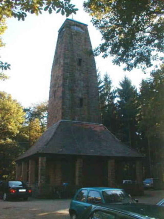
Tour gallery

Tour map and elevation profile

  • Open Street Map
  • Google
Minimum height 79 m Maximum height 563 m Detailed view

More about the tour author

sappok
Member since 2007

Send private message

Comments

rmfausi on 05.09.2008

Winterstrecke

Hallo sappok, ich bin die Tour heute gefahren. Sie hat mir Spass gemacht. Bist Du diese auch schon im Winter gefahren? Ich kann mir gut vorstellen dieses im Winter als Konditionsstrecke zu nutzen. Was meinst Du?

Ja, das geht sicher. Aber ich bevorzuge die Odenwaldtouren im Winter. LGS.
Fahrt zur Neckerbrücke und startet am unteren Ende des Philosophenwegs.
Wir haben die Tour in Kirchheim begonnen. Dies ist aber nicht notwendig.

GPS tracks

Trackpoints
  • GPX / Garmin Map Source (gpx) download
  • TCX / Garmin Training Center® (tcx) download
  • CRS / Garmin Training Center® (crs) download
  • Google Earth (kml) download
  • G7ToWin (g7t) download
  • TTQV (trk) download
  • Overlay (ovl) download
  • Fugawi (txt) download
  • Kompass (DAV) Track (tk) download
  • Track data sheet (pdf) download
  • Original file of the author (gpx) download

More about the tour author

sappok
Member since 2007

Send private message
Share track
Add to my favorites
Remove from my favorites
Edit tags
My score
Rate
Track: Zwei mal weisser Stein
Type: Mountain bike
Distance: 56,2 km
Evaluated on:
Duration:
Day(s)
Hour(s)
Minute(s)
Score: Landscape Fun factor Fitness Technique