


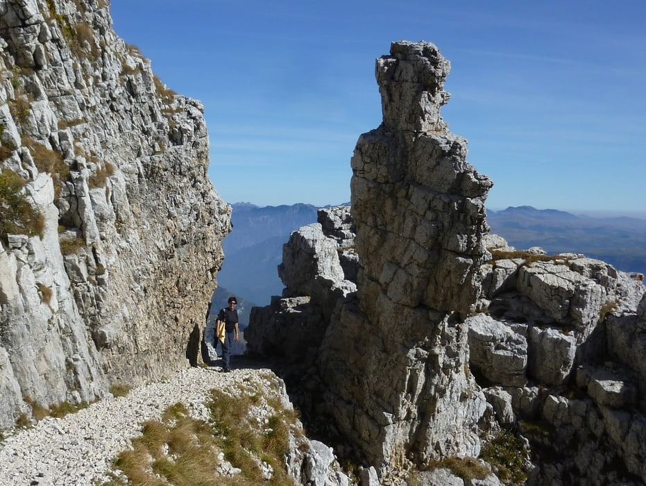
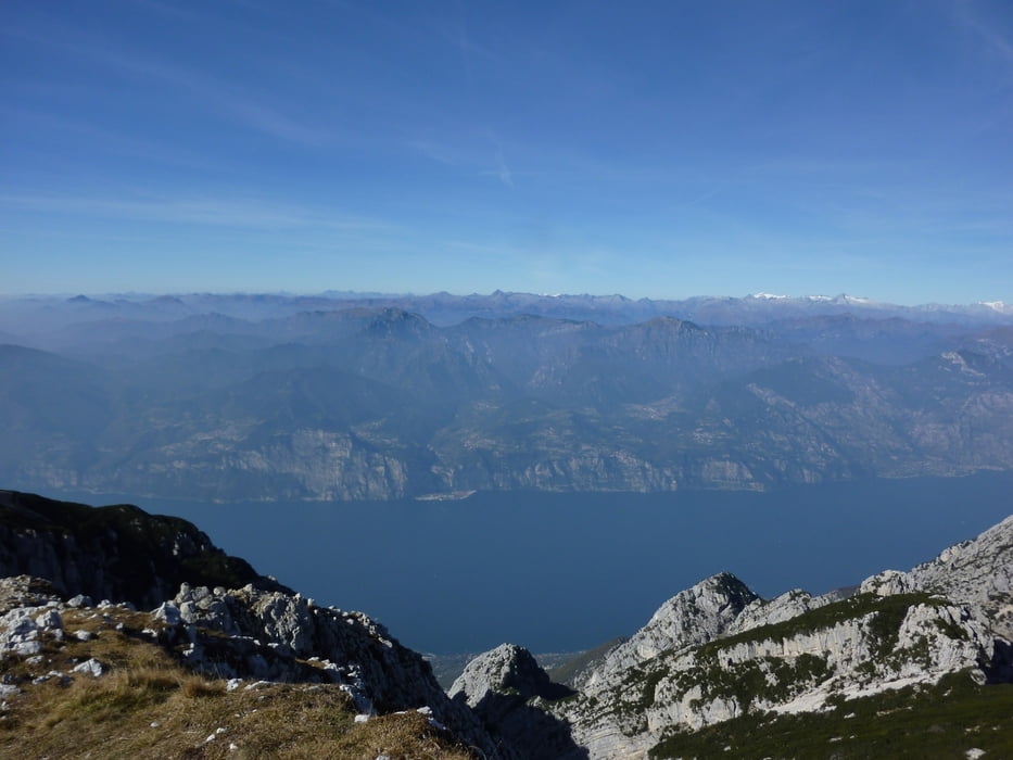
Wir gehen zum Anfang des Parkplatzes wo uns ein Forstweg auf die Ostseite des Baldokammes bringt. Nach ca. 2,5 Km folgen wir lx der Markierung Nr.662 über Almwiesen vorbei am ex forte Naole bis zum Rif. Fiori del Baldo. Bis hierher ca. 2 Stunden. Nun steil bergauf, vorbei am Rif. Chierego, zur Cima Costabella und ab der Bocchetta del Coal Santo über Militärpiste im leichten bergauf - bergab zur Punta Telegrafo mit dem darunter liegenden Rifugio. Das Panorma ist Traumhaft.
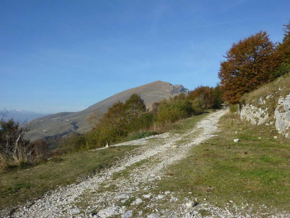
Zurück geht es teilweise denselben Weg und erst ab der Bocchetta di Naole gehen wir rx auf einen Steig bergab und kommen zur baufälligen Kapelle Madonna della Neve und zur Baito di Ortigara und nun über einen Forstweg zurück zum Parkplatz.
Trackdatum: 16.10.2011
Landkarte: Kompass Nr. 102
Further information at
http://www.comunesanzenodimontagna.it/Tour gallery

Tour map and elevation profile
Minimum height 1271 m
Maximum height 2199 m
More about the tour author
|
|
Califan |
Comments

Die Anfahrt erfolgt über Affi - Caprino - Lumini bis zum Ortsanfang von Prada. Vor der Osteria Al Cacciatore beim Hinweisschild Rif.Fiori del Baldo 5 Km+2 h biegen wir rx ab und kommen so zum Parkplatz Pozze di Pralongo.
GPS tracks
Trackpoints-
GPX / Garmin Map Source (gpx) download
-
TCX / Garmin Training Center® (tcx) download
-
CRS / Garmin Training Center® (crs) download
-
Google Earth (kml) download
-
G7ToWin (g7t) download
-
TTQV (trk) download
-
Overlay (ovl) download
-
Fugawi (txt) download
-
Kompass (DAV) Track (tk) download
-
Track data sheet (pdf) download
-
Original file of the author (gpx) download
More about the tour author
|
|
Califan |
Add to my favorites
Remove from my favorites
Edit tags
Open track
My score
Rate