Login

Forgot your login?

Cookies have to be accepted!
Your browser's cookie functionality is disabled. Please enable this functionality.

Not a member yet?

Register now
Login

Available for registred users only

Log in to use this feature.

Forgot your login?

Cookies have to be accepted!
Your browser's cookie functionality is disabled. Please enable this functionality.

Not a member yet?

Register now
Filter
Categories
Advanced filters
  • Distance (km)
  • Height
Save filters Reset filter

TrackRank

QRCode

Technical data

Distance19,9 km Height902 m Way down906 m Duration03:00 h:m Date23.10.2011
Scores Author Landscape Fun factor Fitness Technique

Statistics

473 Views Scores 19 Downloads Average
Rate
  • Track data sheet
  • Directions
  • Downloads
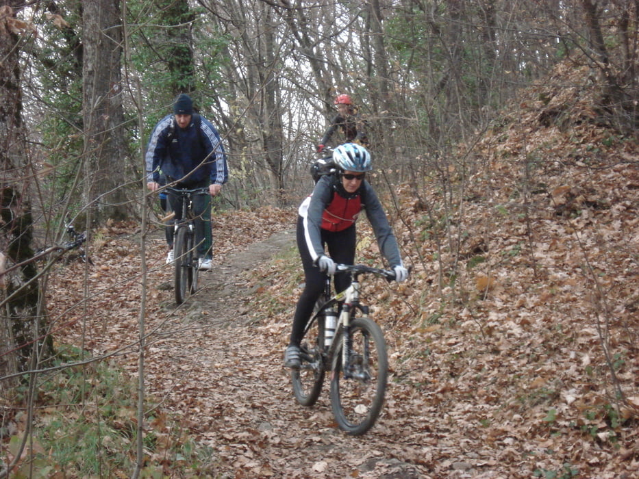
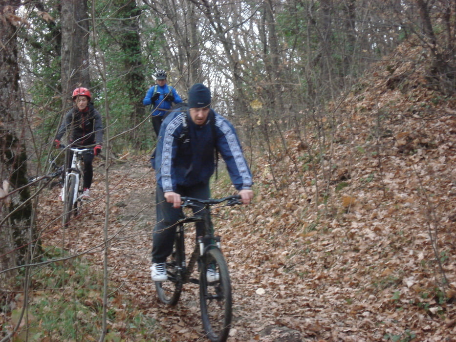
Uspon je Kustošijanskim makadamom, nastavak strmim šumskim putem do planinarskog doma Grafičar. Spust je brzim i povremeno težim singletrackovima i povratak je ponovno u Kustošiju.

Tour gallery

Tour map and elevation profile

  • Open Street Map
  • Google
Minimum height 185 m Maximum height 909 m Detailed view

More about the tour author

KLB
Member since 2011

Send private message

Comments

Kako doći: Zagreb, Ilica, skretanje u Kustošijansku skroz do kraja i kraj stare pilane je parking.

GPS tracks

Trackpoints
  • GPX / Garmin Map Source (gpx) download
  • TCX / Garmin Training Center® (tcx) download
  • CRS / Garmin Training Center® (crs) download
  • Google Earth (kml) download
  • G7ToWin (g7t) download
  • TTQV (trk) download
  • Overlay (ovl) download
  • Fugawi (txt) download
  • Kompass (DAV) Track (tk) download
  • Track data sheet (pdf) download
  • Original file of the author (gpx) download

More about the tour author

KLB
Member since 2011

Send private message
Share track
Add to my favorites
Remove from my favorites
Edit tags
My score
Rate
Track: KLB 004 - Kustosijanski makadam - Graficar - Kustosija
Type: Mountain bike
Distance: 19,9 km
Evaluated on:
Duration:
Day(s)
Hour(s)
Minute(s)
Score: Landscape Fun factor Fitness Technique