Login

Forgotten password?

Cookies have to be accepted!
Your browser's cookie functionality is disabled. Please enable this functionality.

Not a member yet?

Register now
Login

Available for registred users only

Log in to use this feature.

Forgotten password?

Cookies have to be accepted!
Your browser's cookie functionality is disabled. Please enable this functionality.

Not a member yet?

Register now
Filter
Categories
Advanced filters
  • Distance (km)
  • Height
Save filters Reset filter

TrackRank

QRCode

Technical data

Distance62,5 km Height1307 m Way down1325 m Duration05:20 h:m Date26.10.2011
Scores Author Landscape Fun factor Fitness Technique

Statistics

793 Views Scores 45 Downloads Average
Rate
  • Track data sheet
  • Directions
  • Downloads
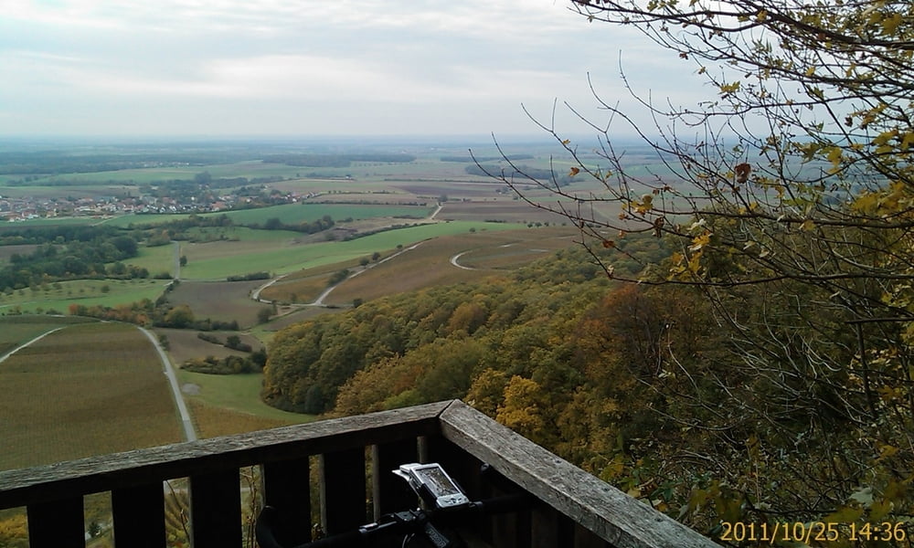
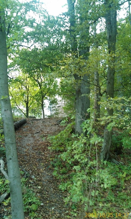
Von Zeil am Main in südliche Richtung über die Höhen des Steigerwaldes nach Handthal. Dort die gute Gastronomie geniesen, (Forelle blau). Weiter über die Stollburg mit herrlichen Blick nach Mainfranken. Weiter über Michelau, dem Panorameweg, am Zabelstein vorbei und durch den Böhlgrund zurück. Meist regionale, beschilderde Wald- Radwege.

Tour gallery

Tour map and elevation profile

  • Open Street Map
  • Google
Minimum height 219 m Maximum height 477 m Detailed view

More about the tour author

Astro
Member since 2009

Send private message

Comments

Zeil liegt ca. in der Mitte von Schweinfurt und Bamberg

GPS tracks

Trackpoints
  • GPX / Garmin Map Source (gpx) download
  • TCX / Garmin Training Center® (tcx) download
  • CRS / Garmin Training Center® (crs) download
  • Google Earth (kml) download
  • G7ToWin (g7t) download
  • TTQV (trk) download
  • Overlay (ovl) download
  • Fugawi (txt) download
  • Kompass (DAV) Track (tk) download
  • Track data sheet (pdf) download
  • Original file of the author (gpx) download

More about the tour author

Astro
Member since 2009

Send private message
Share track
Add to my favorites
Remove from my favorites
Edit tags
My score
Rate
Track: Von Zeil am Main nach Handthal, Stollburg und zurück
Type: Mountain bike
Distance: 62,5 km
Evaluated on:
Duration:
Day(s)
Hour(s)
Minute(s)
Score: Landscape Fun factor Fitness Technique