


Ausgangspunkt diese Wanderung ist die Strasse Im Stübchental.
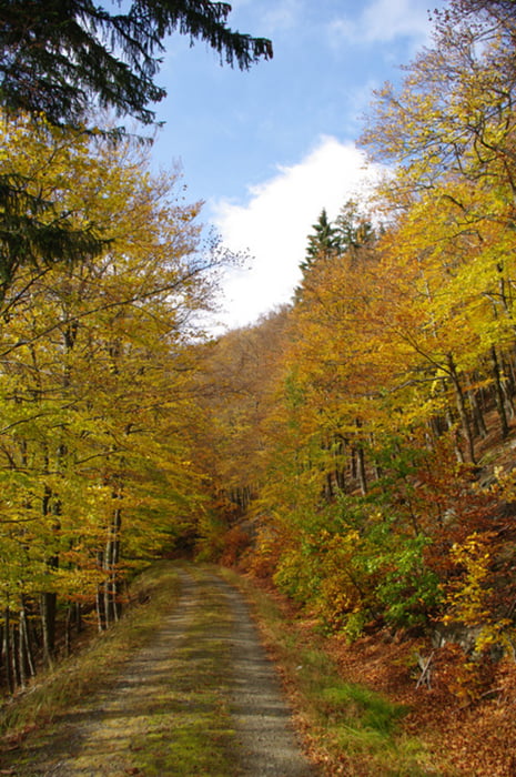
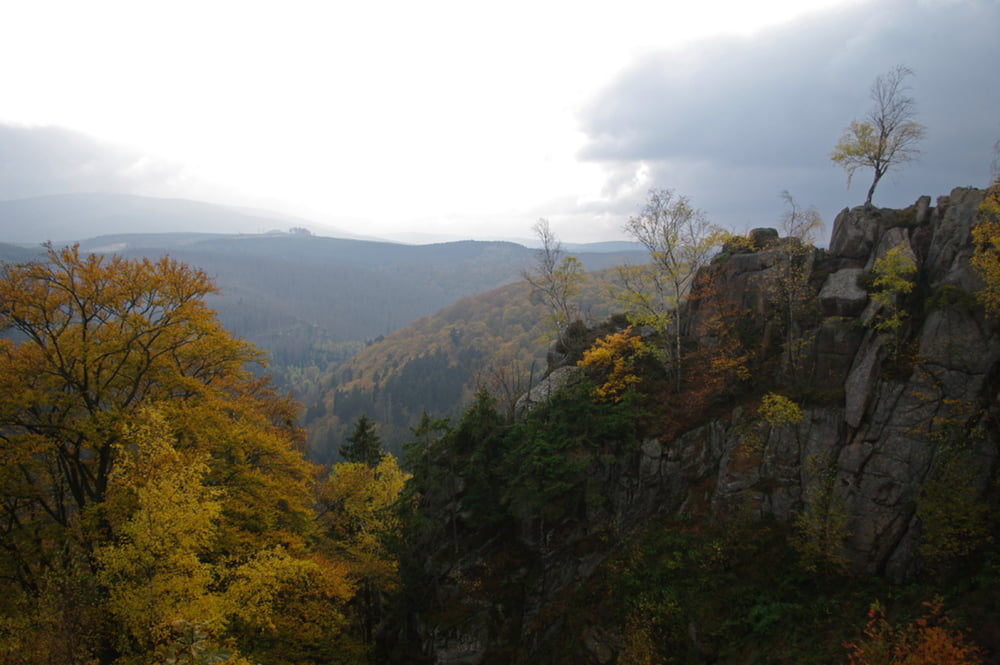
Im Stübchental wandern wir aufwärts zur Säperstelle. Von dort geht es auf dem Kaiserweg, am Echoplatz vorbei, zum Molkenhaus. Anschließend wandern wir auf dem Eckerhangweg bis ins Stöttertal. Hier beginnt auf einem kleinen Pfad der zweite Anstieg dieser Tour der uns zur Rabenklippe führt. Am Luchsgehege beobachten wir die Luchse, aber sie sind heute so dicht am Zaun, dass der Draht für ein Foto hinderlich ist. Auf dem Firstweg gelangen wir zum Ebereschenplatz, wo wir auf die Wartenbergstrasse abbiegen. Nach ca. 200 m biegen wir links ab auf einen Waldweg und kurz danach rechts auf einen Pfad der uns auf die Strasse am Ilsenburger Stieg führt. Von dort wandern wir hinter den Häusern zum Ausgangspunkt zurück.
Die fehlende Sonne wurde bei dieser Wanderung durch die wunderschöne Laubfärbung ersetzt.
Further information at
http://www.molkenhaus.de/Tour gallery


Tour map and elevation profile
Minimum height 306 m
Maximum height 565 m
More about the tour author

|
harzhelmut |
Comments

Mit dem Auto aus Richtung Norden. Auf der B 4 bis zur Abfahrt Bad Harzburg Zentrum, dann rechts abbiegen auf die Herzog-Julius-Str., sofort wieder rechts abbiegen auf die Ilsenburger Str. und unter der Brücke der Ausschilderung Eckertal folgen. Nach ca. 1 Km rechts abbiegen in die Strasse Im Stübchental, dort sind am ehemaligen Sportplatz Waldhöhe genügend Parkplätze vorhanden.
GPS tracks
Trackpoints-
GPX / Garmin Map Source (gpx) download
-
TCX / Garmin Training Center® (tcx) download
-
CRS / Garmin Training Center® (crs) download
-
Google Earth (kml) download
-
G7ToWin (g7t) download
-
TTQV (trk) download
-
Overlay (ovl) download
-
Fugawi (txt) download
-
Kompass (DAV) Track (tk) download
-
Track data sheet (pdf) download
-
Original file of the author (gpx) download
More about the tour author
|
|
harzhelmut |
Add to my favorites
Remove from my favorites
Edit tags
Open track
My score
Rate