Login

Forgot your login?

Cookies have to be accepted!
Your browser's cookie functionality is disabled. Please enable this functionality.

Not a member yet?

Register now
Login

Available for registred users only

Log in to use this feature.

Forgot your login?

Cookies have to be accepted!
Your browser's cookie functionality is disabled. Please enable this functionality.

Not a member yet?

Register now
Filter
Categories
Advanced filters
  • Distance (km)
  • Height
Save filters Reset filter

TrackRank

QRCode

Technical data

Distance42,5 km Height766 m Way down760 m Duration00:00 h:m Date30.10.2011
Scores Author Landscape Fun factor Fitness Technique

Statistics

819 Views 1 Score 85 Downloads 4.00 Average
Rate
  • Track data sheet
  • Directions
  • Downloads

Ich bin die Tour entgegen dem Uhrzeigersinn gefahren, ist aber sicherlich auch anders herum möglich.

Es sind einige schöne Trails dabei und doch ziemlich viel Höhenmeter.

Würde mich über die eine oder andere Rückmeldung freuen!
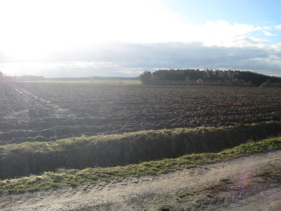
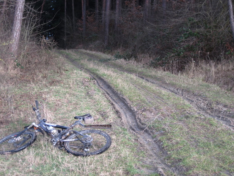
Tour gallery

Tour map and elevation profile

  • Open Street Map
  • Google
Minimum height 416 m Maximum height 543 m Detailed view

More about the tour author

Frankenhoehe
Member since 2009

Send private message

Comments

Lalelux on 01.04.2012

wirklich schön

wirklich eine schöne Runde. Wenig Straße und nette Wiesen-Wald-Wege... und zumindest aktuell noch kein Brennessel-Dornen-Gestrüpp. Für Ansbacher Verhältnisse sehr zu empfehlen. Falls der Saft irgendwann aus den Beinen rausgesaugt ist, kann man den ein oder anderen "Berg" umfahren. Aber fast jeder Anstieg wird durch eine schöne Abfahrt belohnt :)

Herzlichen Dank für die Rückmeldung.

GPS tracks

Trackpoints
  • GPX / Garmin Map Source (gpx) download
  • TCX / Garmin Training Center® (tcx) download
  • CRS / Garmin Training Center® (crs) download
  • Google Earth (kml) download
  • G7ToWin (g7t) download
  • TTQV (trk) download
  • Overlay (ovl) download
  • Fugawi (txt) download
  • Kompass (DAV) Track (tk) download
  • Track data sheet (pdf) download
  • Original file of the author (gpx) download

More about the tour author

Frankenhoehe
Member since 2009

Send private message
Share track
Add to my favorites
Remove from my favorites
Edit tags
My score
Rate
Track: Ansbach - Colmberg
Type: Mountain bike
Distance: 42,5 km
Evaluated on:
Duration:
Day(s)
Hour(s)
Minute(s)
Score: Landscape Fun factor Fitness Technique