


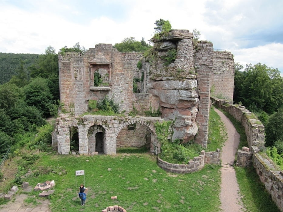
Vom Wanderparkplatz südl. Gleisweiler über Zickzackpfad zur Trifelsblickhütte des PWV, danach zum Wetterkreuz (600 m), Abstieg entlang Pfad an der Felskante und danach breiten Weg nach NW bis zu großer Wegekreuzung ("Dreimärker"), von hier der Beschilderung ohne Höhenverlust bis zur Landauer Hütte (PWV) folgen, lohnender kurzer Abstecher zur Ruine Neuscharfeneck, zurück zur Landauer Hütte und hangparallel nach S zum Orensfels (schöner Aussichtspunkt), Rückweg über Kirschbaumhütte zum Parkplatz
Further information at
http://palzpix.de/landauer-huette.htmlTour gallery
Tour map and elevation profile
Minimum height 241 m
Maximum height 615 m
More about the tour author
|
|
Mago_58 |
Comments

ab Landau über L 512 bis Böchingen, dann über L513 bis nach Gleisweiler, im Ort links halten (Hainbachtalstraße), durch Weinberge, dann wieder rechts auf "Zum Sonnenberg" bis zum Parkplatz am Waldrand
GPS tracks
Trackpoints-
GPX / Garmin Map Source (gpx) download
-
TCX / Garmin Training Center® (tcx) download
-
CRS / Garmin Training Center® (crs) download
-
Google Earth (kml) download
-
G7ToWin (g7t) download
-
TTQV (trk) download
-
Overlay (ovl) download
-
Fugawi (txt) download
-
Kompass (DAV) Track (tk) download
-
Track data sheet (pdf) download
-
Original file of the author (gpx) download
More about the tour author
|
|
Mago_58 |
Add to my favorites
Remove from my favorites
Edit tags
Open track
My score
Rate