


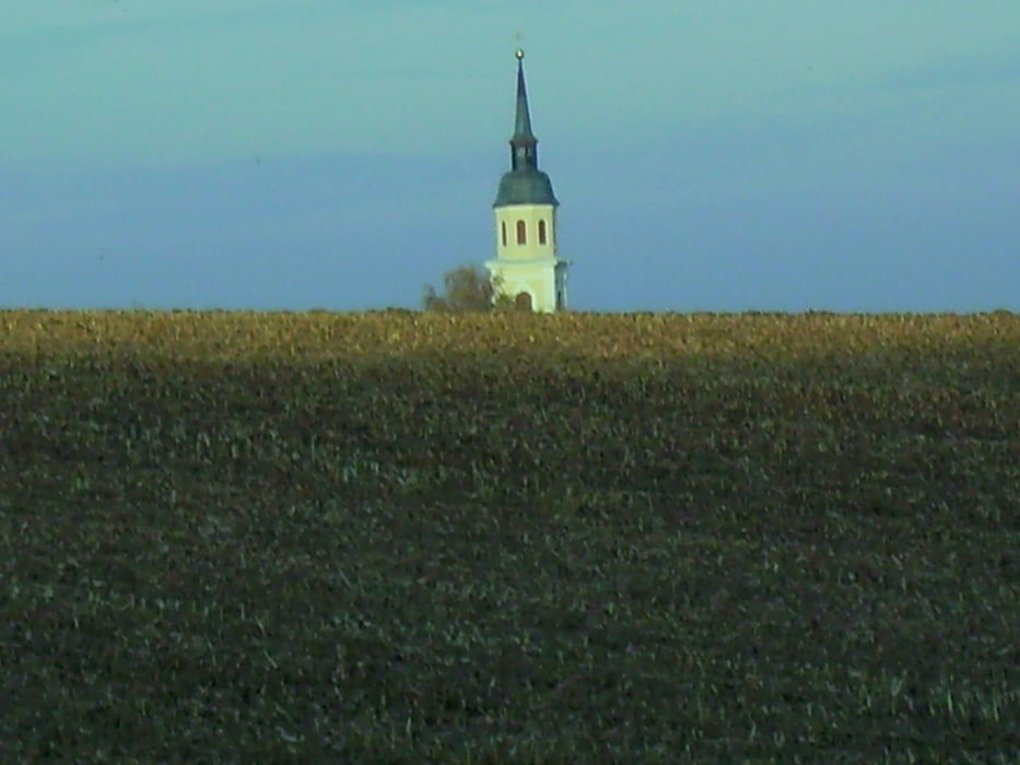
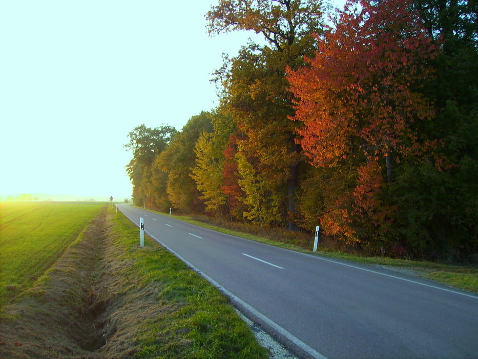
Von Steinberg nach Ammerstetten. Dann in das "grosse Achstetter Holz". Immer weiter im Wald bleiben bis auf Höhe Hörenhausen. Schwenk nach Osten Richtung Neuhäuser Hof, aber kurz davor wieder Schwenk nach Norden, oberhalb Weihungszell. Dann geht es Im Wald zwischen Illerrieden und Regglisweiler zurück. Ab Dorndorf dann aus lichttechnischen Gründen auf der Strasse.
Ruhige, abgelegene Sonntagsnachmittagsrunde.
Tour gallery
Tour map and elevation profile
Minimum height 485 m
Maximum height 573 m
More about the tour author
|
|
painfully58 |
Comments

GPS tracks
Trackpoints-
GPX / Garmin Map Source (gpx) download
-
TCX / Garmin Training Center® (tcx) download
-
CRS / Garmin Training Center® (crs) download
-
Google Earth (kml) download
-
G7ToWin (g7t) download
-
TTQV (trk) download
-
Overlay (ovl) download
-
Fugawi (txt) download
-
Kompass (DAV) Track (tk) download
-
Track data sheet (pdf) download
-
Original file of the author (gpx) download
More about the tour author
|
|
painfully58 |
Add to my favorites
Remove from my favorites
Edit tags
Open track
My score
Rate