


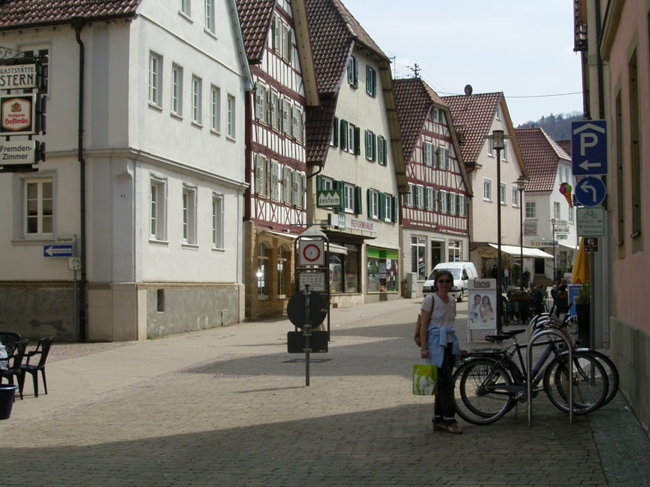
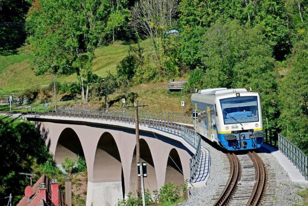
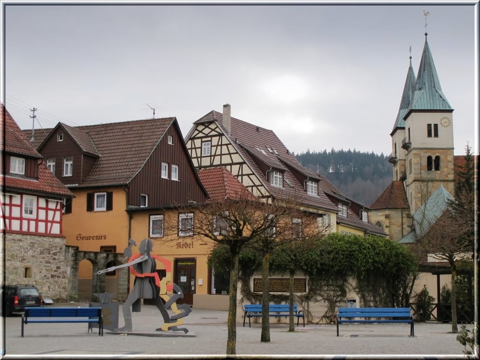
Von Winnenden im leichten bergauf berab nach Waldrems, weiter nach Oppenweiler und flach bis Murrhardt. Murrhardt bietet sich an für eine kurze Rast auf dem Marktplatz. Von dort ins Mettelbach Tal und steil hoch nach Kaisersbach. An Welzheim vorbei geht es zum Golfplatz Haghof. Mittagsrast im Hotel Haghof. Danach lange geniale Abfahrt ins Walkersbacher Tal und weiter über Plüderhausen nach Schorndorf. Danach grötenteils auf dem Remstalradweg zur Hegnacher Mühle. Von dort mäßig steigend nach Winnenden zurück.
Further information at
http://efa.vvs.de/bike/XSLT_TRIP_REQUEST2?language=deTour gallery
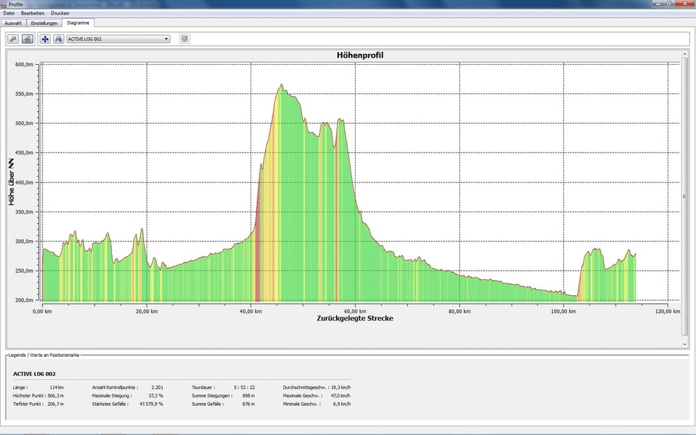
Tour map and elevation profile
Minimum height 105 m
Maximum height 567 m
More about the tour author
|
|
Sport2008 |
Comments

Öffentlich Verkehrsmittel nach Winnenden - Bus, Bahn!
GPS tracks
Trackpoints-
GPX / Garmin Map Source (gpx) download
-
TCX / Garmin Training Center® (tcx) download
-
CRS / Garmin Training Center® (crs) download
-
Google Earth (kml) download
-
G7ToWin (g7t) download
-
TTQV (trk) download
-
Overlay (ovl) download
-
Fugawi (txt) download
-
Kompass (DAV) Track (tk) download
-
Track data sheet (pdf) download
-
Original file of the author (gpx) download
More about the tour author
|
|
Sport2008 |
Add to my favorites
Remove from my favorites
Edit tags
Open track
My score
Rate