


MTB-Abschlusstour der Rennradler zur Radsaison 2011 unter Teilnahme der Gesamtsparte.
Bei angekündigtem schönen Wetter startete die Tour um 10 Uhr am Remstalgymnasium in Enderbach.
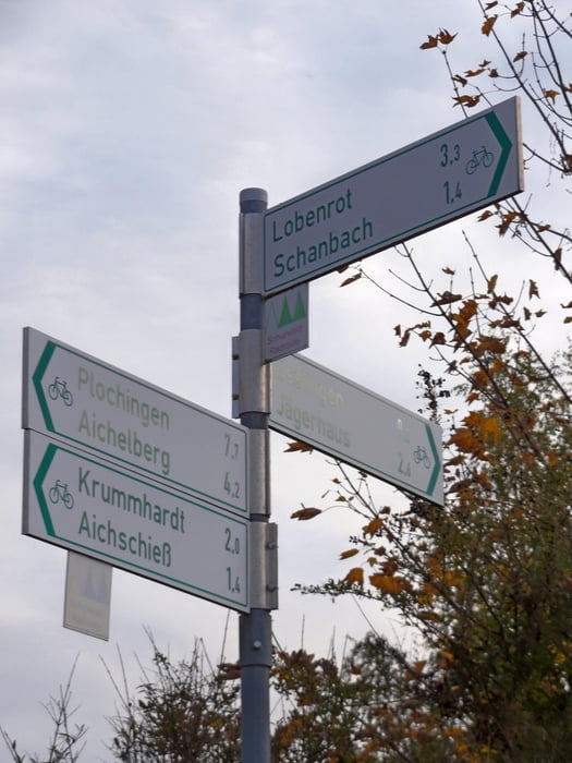
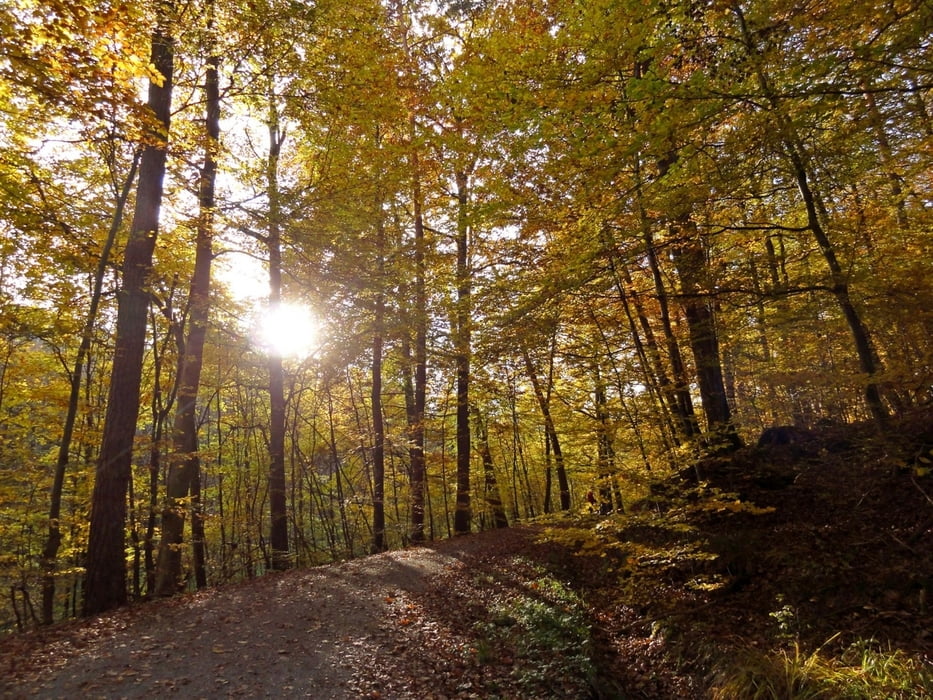
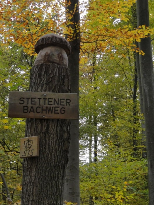
Die Traditionstour führt zunächst auf Asphalt bis kurz nach Geradstetten und dann auf Waldwegen über Hörnle und Birkrain hoch nach Manolzweiler. Nach einer flotten Waldabfahrt durch die Martinshalde passieren wir die Mineralquelle oberhalb Baach, folgen ein Stück dem Baacher Weg und fahren hoch nach Aichwald. Durch Aichschieß hindurch fahren wir auf den Esslinger Höhenweg, am Jägerhaus, Dulkhäusle und Segelflugplatz vorbei. An der Deponie Katzenbühl vorbei und über den Katzenkopf geht es in Richtung Kernenturm. Von "Fivepoint" aus geht es fast direktem Weg hinunter nach Stetten, wo wir in der Seemühle die gemütliche Runde ausklingen liesen..
Tour gallery
Tour map and elevation profile
Minimum height 228 m
Maximum height 493 m
More about the tour author
|
|
SGSternStuttgart |
Comments

GPS tracks
Trackpoints-
GPX / Garmin Map Source (gpx) download
-
TCX / Garmin Training Center® (tcx) download
-
CRS / Garmin Training Center® (crs) download
-
Google Earth (kml) download
-
G7ToWin (g7t) download
-
TTQV (trk) download
-
Overlay (ovl) download
-
Fugawi (txt) download
-
Kompass (DAV) Track (tk) download
-
Track data sheet (pdf) download
-
Original file of the author (gpx) download
More about the tour author
|
|
SGSternStuttgart |
Add to my favorites
Remove from my favorites
Edit tags
Open track
My score
Rate