


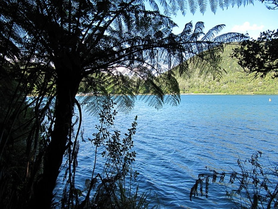
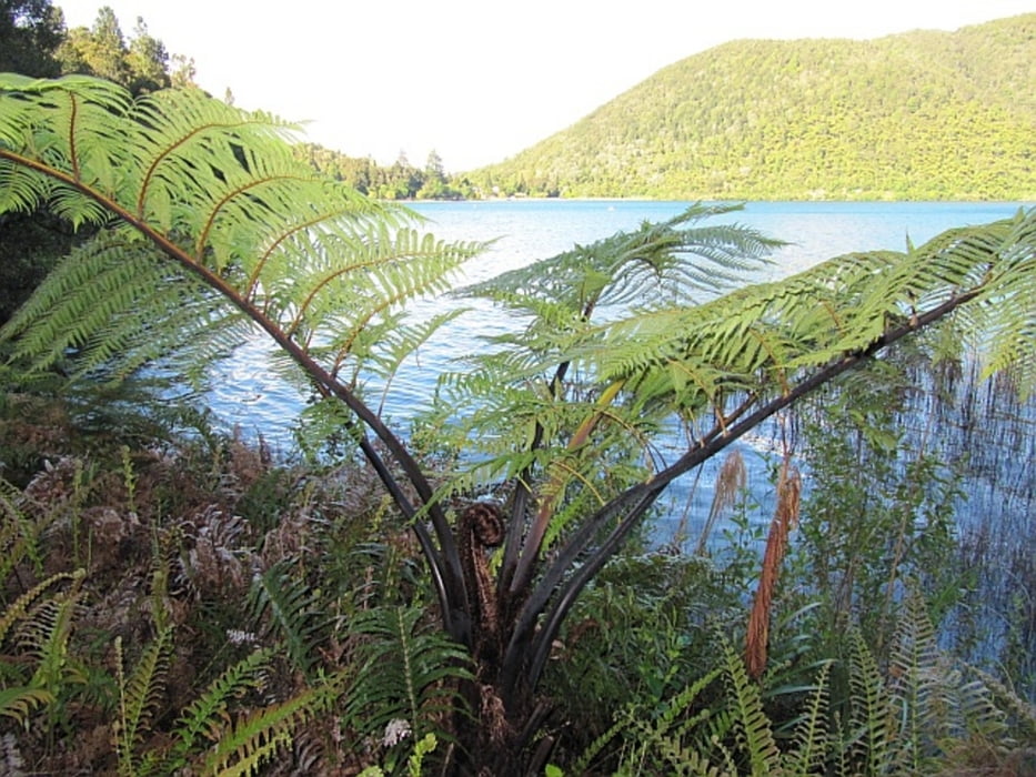
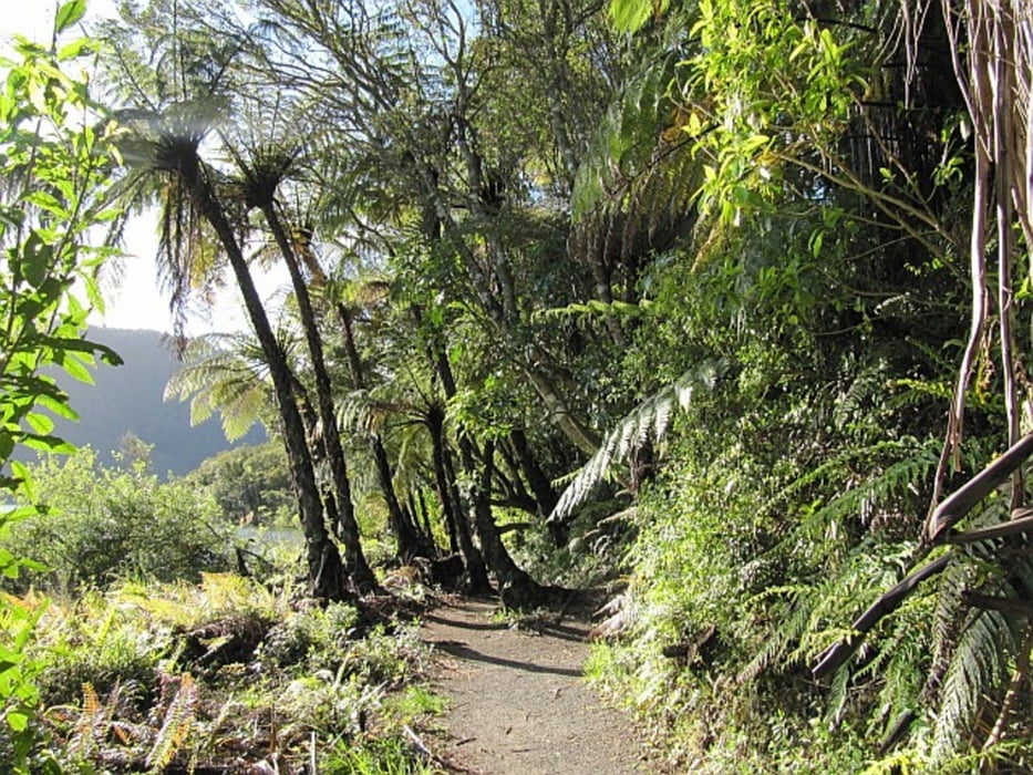
Start vom Parkplatz am Freizeitgelände, der beschilderte Weg führt durch bewaldetes Gelände (stellenweise imposante Mammutbäume) auf einem Rundkurs um den See. Von einer Anhöhe südlich des Blue Lake blickt man auf den etwas tiefer gelegenen Green Lake.
Further information at
http://www.bluelaketop10.co.nz/presentation/BlueLakeTop10Pres.aspx?ID=10038Tour gallery
Tour map and elevation profile
Minimum height 409 m
Maximum height 480 m
More about the tour author
|
|
Mago_58 |
Comments

Mit dem Pkw von Rotorua in ca. 15 Minuten (ca. 10 km) über Tarawera Road bis zum Parkplatz bei der Freizeitanlage am Nordrand des Blue Lake
GPS tracks
Trackpoints-
GPX / Garmin Map Source (gpx) download
-
TCX / Garmin Training Center® (tcx) download
-
CRS / Garmin Training Center® (crs) download
-
Google Earth (kml) download
-
G7ToWin (g7t) download
-
TTQV (trk) download
-
Overlay (ovl) download
-
Fugawi (txt) download
-
Kompass (DAV) Track (tk) download
-
Track data sheet (pdf) download
-
Original file of the author (gpx) download
More about the tour author
|
|
Mago_58 |
Add to my favorites
Remove from my favorites
Edit tags
Open track
My score
Rate