


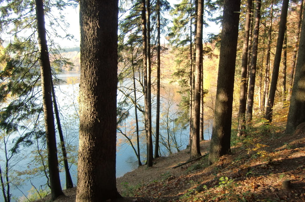
Wir wollten die Wanderung „KOMPASS WANDERFÜHRER BERGISCHES LAND TOUR 6“ nachwandern. Wir starteten in Schalksmühle am Bahnhof. Es ging sofort die Treppen hinauf in den Tannenwald. Vor dem Ort “Strücken“ haben wir den richtigen Weg verpasst. Wir wollten aber nicht zurückgehen und sind oben auf der Höhe bei Halverscheid wieder auf die richtige Markierung mit „S“ gestoßen. Von der Höhe hatte man eine herrliche Aussicht auf Schalksmühle. Danach ging es entlang der Glör zur Glörtalsperre. Leider hatte das dortige Gasthaus geschlossen ( nicht auf der Webseite vermerkt) und wir mussten ohne die geplante Einkehr nach Schalksmühle zurück. Der Track geht nicht ganz bis zum Bahnhof, da wir mit dem Auto abgeholt wurden und der Fahrer uns vorzeitig aufgelesen hat. Es war eine abwechlungsreiche Wanderung durch schattigen Wald, offenen Höhen und ein schönes Bachtal.
Tour gallery


Tour map and elevation profile
Minimum height 233 m
Maximum height 429 m
More about the tour author

|
hase54295 |
Comments

58579 Schalksmühle
Am Bahnhof
GPS tracks
Trackpoints-
GPX / Garmin Map Source (gpx) download
-
TCX / Garmin Training Center® (tcx) download
-
CRS / Garmin Training Center® (crs) download
-
Google Earth (kml) download
-
G7ToWin (g7t) download
-
TTQV (trk) download
-
Overlay (ovl) download
-
Fugawi (txt) download
-
Kompass (DAV) Track (tk) download
-
Track data sheet (pdf) download
-
Original file of the author (gpx) download
More about the tour author
|
|
hase54295 |
Add to my favorites
Remove from my favorites
Edit tags
Open track
My score
Rate