
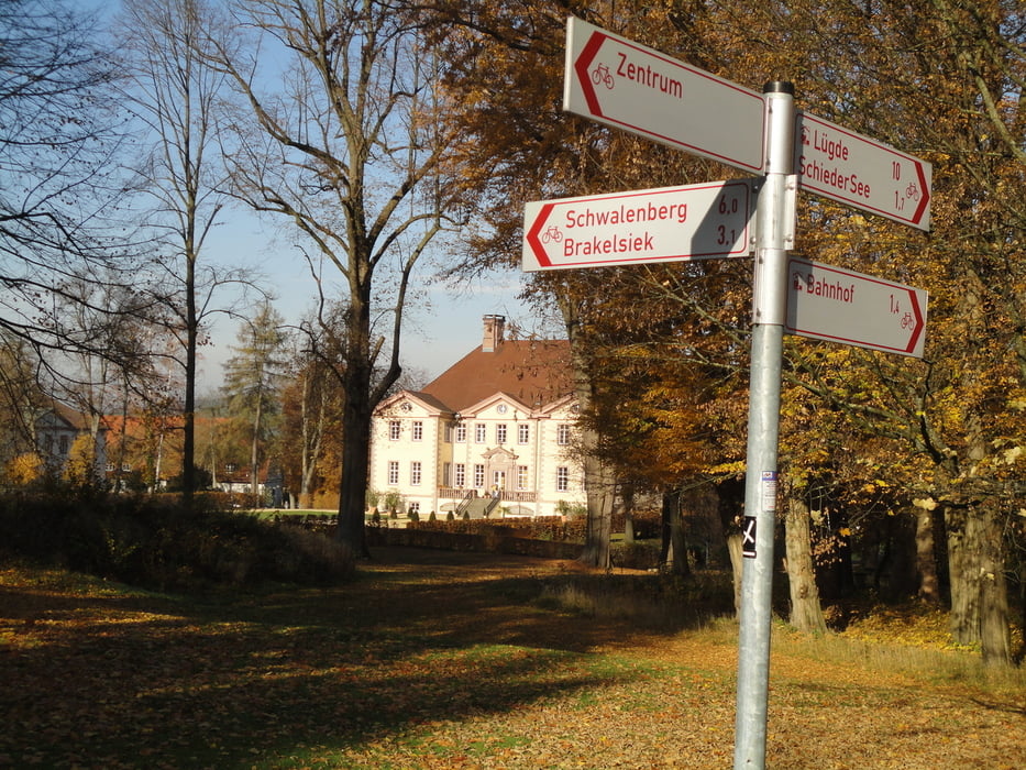

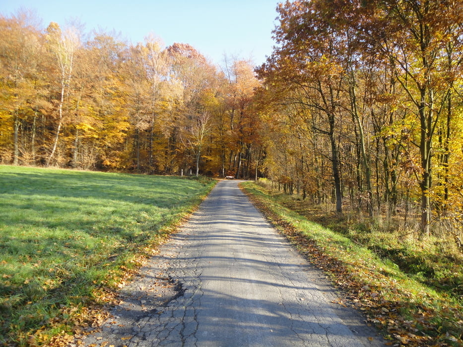
Heute am 5. November 2011 wurde eine Tour mit wunderbaren Ausblicken auf das lippische Hügelland rund um Schieder gefahren. Für Anfang November war das Wetter mit herrlichem Sonnenschein und 16° außergewöhnlich warm und so war der Spaß sicher. Vom Radtreff in Brakelsiek ging es über Lothe durch den Steinheimer Forst nach Wöbbel und über Wirtschaftswege zum Norderteich. Von hier im Beller Holz aufwärts nach Reelkirchen das etwa 100 m höher liegt. Auf dieser Höhe bleibend wieder ostwärts oberhalb von Belle und Wöbbel zum Flugplatz Borghausen. Über Gripshof und rund um das ehemalige Schieder Möbelwerk (seit einem Monat Eigentum von Phönix Contact) zum Emmerstausee. Von hier über die Staumauer und durch das Steinbachtal zurück nach Schieder auf ein Abschlußbier im warmen Wintergarten. Eine schöne Nachmittagsrunde von 42 km mit ca. 612 hm.
Further information at
http://www.radsport-schieder.deTour gallery
Tour map and elevation profile
Minimum height 109 m
Maximum height 276 m
More about the tour author
|
|
orion_49 |
Comments

GPS tracks
Trackpoints-
GPX / Garmin Map Source (gpx) download
-
TCX / Garmin Training Center® (tcx) download
-
CRS / Garmin Training Center® (crs) download
-
Google Earth (kml) download
-
G7ToWin (g7t) download
-
TTQV (trk) download
-
Overlay (ovl) download
-
Fugawi (txt) download
-
Kompass (DAV) Track (tk) download
-
Track data sheet (pdf) download
-
Original file of the author (gpx) download
More about the tour author
|
|
orion_49 |
Add to my favorites
Remove from my favorites
Edit tags
Open track
My score
Rate