


Start in der Falkenstraße und Zweitstart in der Humboldtstraße, über Neuen Herweg Ri. Hagebüchen und weiter ins Kerspetal und hoch Ri. Wienhagen, weiter Ri. Bürhausen/Haushütte durch den Wald rauf und runter bis Rönsahl, ein kurzes Stück über den Radweg Ri. Wipperfürth und beim Sägewerk hoch nach Schellenbach und über Stillinghausen vorbei am Stadion und dem Hallenschwimmbad wieder hinunter nach Wipperfürth. Nach einem Cappu und einem Stück Torte im Hanse-Cafe wieder auf`s Bike und hinauf nach Fliegeneichen und Kreuzberg, weiter Ri. Anschlag und erst über den Radweg und dann mit ein paar "Schlenkern" wieder nach Hause.
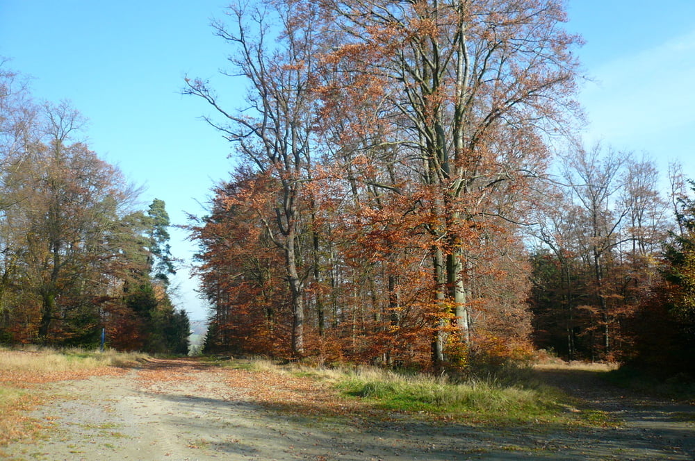
Tour ins Rheinland mit phantastischen Ausblicken, toller Herbstlandschaft, viel Sonnenschein und teils neuen Streckenabschnitten.
Danke an Petra und Frank.
Further information at
http://www.wipperfuerth.deTour gallery
Tour map and elevation profile
Minimum height 268 m
Maximum height 458 m
More about the tour author
|
|
neuser |
Comments

GPS tracks
Trackpoints-
GPX / Garmin Map Source (gpx) download
-
TCX / Garmin Training Center® (tcx) download
-
CRS / Garmin Training Center® (crs) download
-
Google Earth (kml) download
-
G7ToWin (g7t) download
-
TTQV (trk) download
-
Overlay (ovl) download
-
Fugawi (txt) download
-
Kompass (DAV) Track (tk) download
-
Track data sheet (pdf) download
-
Original file of the author (gpx) download
More about the tour author
|
|
neuser |
Add to my favorites
Remove from my favorites
Edit tags
Open track
My score
Rate