Login

Forgot your login?

Cookies have to be accepted!
Your browser's cookie functionality is disabled. Please enable this functionality.

Not a member yet?

Register now
Login

Available for registred users only

Log in to use this feature.

Forgot your login?

Cookies have to be accepted!
Your browser's cookie functionality is disabled. Please enable this functionality.

Not a member yet?

Register now
Filter
Categories
Advanced filters
  • Distance (km)
  • Height
Save filters Reset filter

TrackRank

QRCode

Technical data

Distance25,1 km Height940 m Way down901 m Duration02:30 h:m Date22.07.2007
Scores Author User Landscape Fun factor Fitness Technique

Statistics

1105 Views 1 Score 388 Downloads 3.00 Average
Rate
  • Track data sheet
  • Directions
  • Downloads
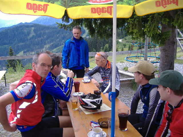
Vom Geigers starten wir in Richtung Fiss. Über breitere Wege geht es fast immer nur aufwärts zur Kualm. Von dort runter über versch. Trails. Unter anderem auch über den Waalweg. Von Fiss wieder zurück nach Serfaus.

Tour gallery

Tour map and elevation profile

  • Open Street Map
  • Google
Minimum height 1200 m Maximum height 1871 m Detailed view

More about the tour author

Slayer
Member since 2006

Send private message

Comments

lschinkel on 30.06.2014

Achtung, Sperrung

Die Trailabfahrt die kurz nach der Kuhalm links abgeht ist mittlerweile gesperrt, so dass man auf der Straße weiterfahren muss. Dadurch fehlt der Tour fahrtechnisch praktisch jeder Reiz, auch wenn sie landschaftlich natürlich nach wie vor sehr schön ist
Serfaus in Tirol auf dem Sonnenplateau

GPS tracks

Trackpoints
  • GPX / Garmin Map Source (gpx) download
  • TCX / Garmin Training Center® (tcx) download
  • CRS / Garmin Training Center® (crs) download
  • Google Earth (kml) download
  • G7ToWin (g7t) download
  • TTQV (trk) download
  • Overlay (ovl) download
  • Fugawi (txt) download
  • Kompass (DAV) Track (tk) download
  • Track data sheet (pdf) download
  • Original file of the author (gpx) download

More about the tour author

Slayer
Member since 2006

Send private message
Share track
Add to my favorites
Remove from my favorites
Edit tags
My score
Rate
Track: Kuhalmtour
Type: Mountain bike
Distance: 25,1 km
Evaluated on:
Duration:
Day(s)
Hour(s)
Minute(s)
Score: Landscape Fun factor Fitness Technique