
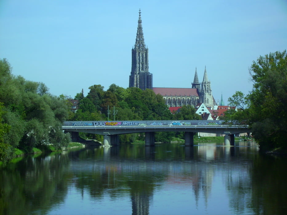

Von Steinberg über Beutelreusch Buch nach Unterkirchberg an die Iller. Die bis zur Donaumündung folgen und weiter bis zur Adenauerbrücke. Dort wird die Donau überquert. Jetzt hegt es zum Kuhberg bsi zur KZ Gedenkstätte. Kurz auf dem Kamm und dann wieder runter nach Norden zum Weg ins Butzental. Kurz vor Allewind drehe ich um und fahre das Stück Trial bis zum Weg nach Grimmelfingen.
Auf dem Trial aufpassen, falls es nicht ganz trocken ist.
Zurück über Grimmelfingen, Donautal, Tannenplatz, Unterweiler, Essendorf.
War neblich und grade mal 0 - 1 Grad warm. Am Schluss hatte ich etwas kalte Füsse, weil ich ohne Neopren Überzüge fuhr. Rest war ok.
Tour map and elevation profile
Minimum height 447 m
Maximum height 605 m
More about the tour author
|
|
painfully58 |
Comments

GPS tracks
Trackpoints-
GPX / Garmin Map Source (gpx) download
-
TCX / Garmin Training Center® (tcx) download
-
CRS / Garmin Training Center® (crs) download
-
Google Earth (kml) download
-
G7ToWin (g7t) download
-
TTQV (trk) download
-
Overlay (ovl) download
-
Fugawi (txt) download
-
Kompass (DAV) Track (tk) download
-
Track data sheet (pdf) download
-
Original file of the author (gpx) download
More about the tour author
|
|
painfully58 |
Add to my favorites
Remove from my favorites
Edit tags
Open track
My score
Rate