
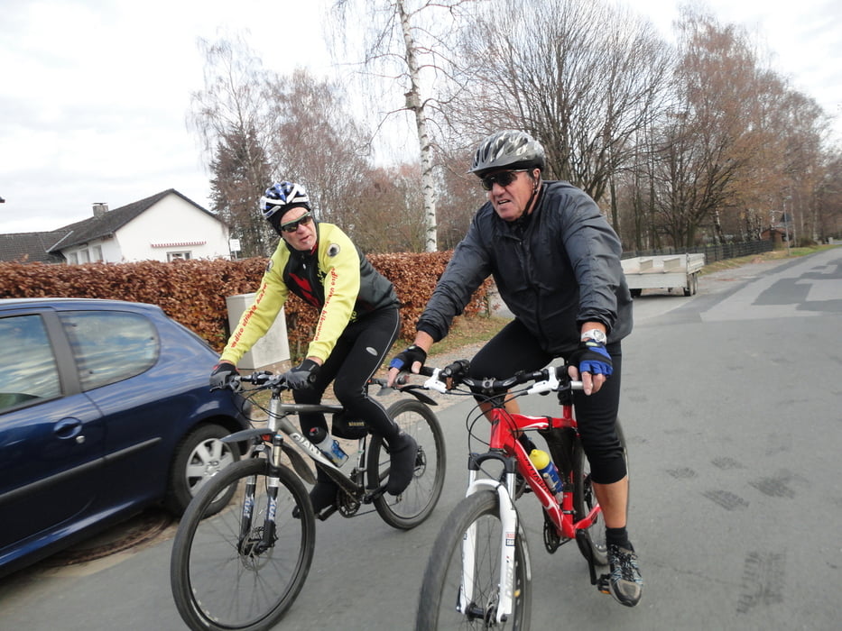

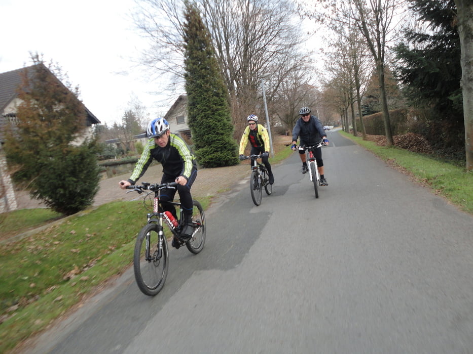
Leider haben an der heutigen Ausfahrt bei super Wetter nur 4 Fahrer teilgenommen. Vom üblichen Start zuerst zum Forsthaus Brakelsiek, Richtung Schwalenberg – das geht schon ordentlich auf und ab - , Forsthaus Schwalenberg, über das Mörth bis zur alten Natostrasse. Abfahrt ins Rischenauer Holz und über einen kleinen Sigle Trail nach Biesterfeld, Rischenau, Falkenhagen. Auf Forstwegen über Henkenbring, Waldweg nach Sabbenhausen über die Höhe Finkenkamp - von hier herrliche Ausblicke - nach Lügde. Von dort den Wanderweg am Ausflugslokal „Ponderosa“ vorbei zum Emmerstausee. Durch das Steinbachtal zurück zum Ausgangspunkt.
Dies ist eine Tour von ca. 40 km und rund 800 hm.
Further information at
http://www.Radsport-Schieder.deTour gallery
Tour map and elevation profile
Minimum height 92 m
Maximum height 337 m
More about the tour author
|
|
orion_49 |
Comments
GPS tracks
Trackpoints-
GPX / Garmin Map Source (gpx) download
-
TCX / Garmin Training Center® (tcx) download
-
CRS / Garmin Training Center® (crs) download
-
Google Earth (kml) download
-
G7ToWin (g7t) download
-
TTQV (trk) download
-
Overlay (ovl) download
-
Fugawi (txt) download
-
Kompass (DAV) Track (tk) download
-
Track data sheet (pdf) download
-
Original file of the author (gpx) download
More about the tour author
|
|
orion_49 |
Add to my favorites
Remove from my favorites
Edit tags
Open track
My score
Rate
Super..