


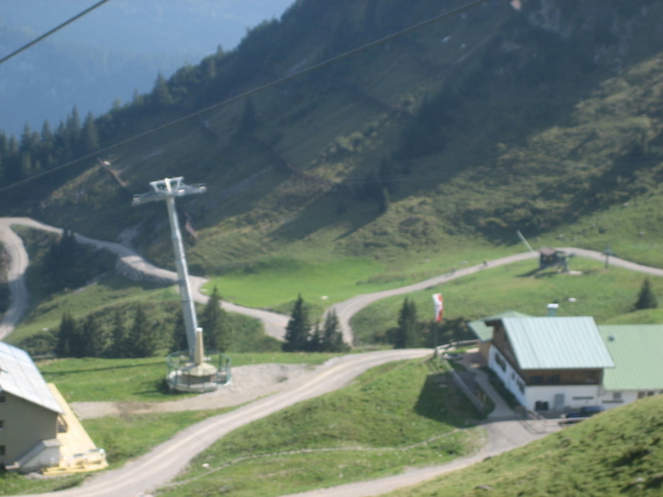
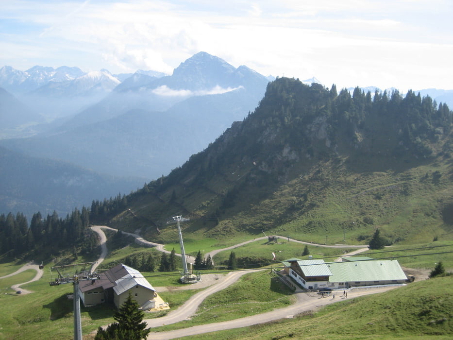
Tour für Konditionsstarke. Start in Schwangau, über Hohenschwangau und Fürstenstrasse nach Pflach und Reutte, weiter am Lech entlang nach Höfen. Hier zur Talstation der Hahenkammbahn und auf - im oberen Teil neuem- Forstweg zur Bergstation. Möglich ist eine Weiterfahrt zur Lechaschauer Alm und Schneetalalm (nicht im Track). Zurück auf gleichem Weg, durch Reutte nach Mühl und hier Auffahrt zur Dürrenbergalm, der schönstgelegenen Alm in der ganzen Gegend. Bei der Abfahrt gleich oben nach der Einmündung des Fußweges (Radfahrverbot) noch 20 m weiter, dann rechts auf Singletrail, später alter Fahrweg über die Melkalpe. Beim "S", einer Kreuzung, münden wir auf den Anfahrtsweg, hier bergab bis zum Rasthaus Urisee, kurz davor rechts abzweigen, 100 m weiter wieder rechts leicht bergauf und auf Singletrail bergab. Einmündung auf Forsweg, später auf Kniepass zum Gasthof Schluxen, hier rechts zum Schwangauer Gitter (Grenze) und auf bekanntem Anfahrtsweg wieder heim.
Further information at
http://helwa.deTour gallery

Tour map and elevation profile
Minimum height 791 m
Maximum height 1720 m
More about the tour author

|
helwa |
Comments

Start in Schwangau beim Thermalbad oder Kurhaus (kostenlose Parkplätze)
GPS tracks
Trackpoints-
GPX / Garmin Map Source (gpx) download
-
TCX / Garmin Training Center® (tcx) download
-
CRS / Garmin Training Center® (crs) download
-
Google Earth (kml) download
-
G7ToWin (g7t) download
-
TTQV (trk) download
-
Overlay (ovl) download
-
Fugawi (txt) download
-
Kompass (DAV) Track (tk) download
-
Track data sheet (pdf) download
-
Original file of the author (gpx) download
More about the tour author
|
|
helwa |
Add to my favorites
Remove from my favorites
Edit tags
Open track
My score
Rate