


Kurz-knackig-trailig
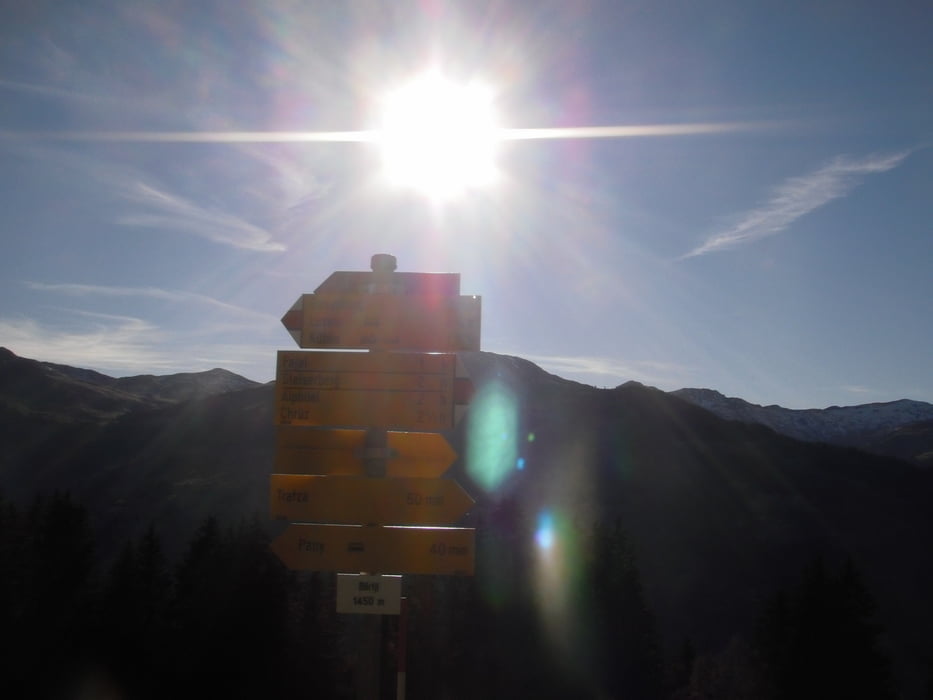
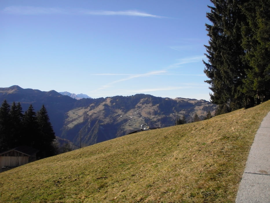
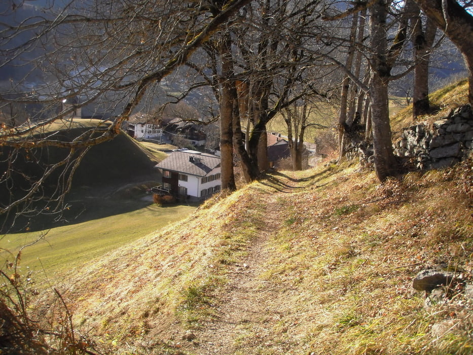
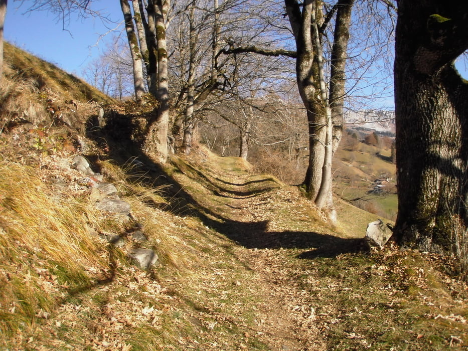
OK-einrollen ist nicht,vom Zentrum Küblis(Bahnhof) geht es gleich zur Sache.Kein Wunder links und rechts geht es nur steil rauf.Der Vorteil ,diese Seite Richtung Pany ist der reinste Sonnenhang also ca 9 Monate im Jahr befahrbar.Die Auffahrt ist eine wenig befahrene Asphaltsraße mit einer im günstigen Fall mäßigen steigung aber kurz vor Pany doch recht steile Rampen.Dafür ist die Aussicht ein Genuss.Man sieht direkt rüber zu den Fideriser Heuberge die auch ein Teil vom Swiss-Bikemasters(lange distanz)sind.Ab Pany wird es gemütlicher bis zum höchsten Punkt.Ein großer Stein am Straßenrand markiert den Abzweig.Von hier rechts auf den Wald und wiesentrail.Mal über Wurzeln und später auf absolut flowige Wiesentrails.In Pany queren wir unsere Auffahrtstrecke und fahren auf schmale Wege weiter Richtung Tal.
Ideal auch am Feierabend
Tour gallery
Tour map and elevation profile
Minimum height 719 m
Maximum height 1548 m
More about the tour author
|
|
josef_zinganel |
Comments

GPS tracks
Trackpoints-
GPX / Garmin Map Source (gpx) download
-
TCX / Garmin Training Center® (tcx) download
-
CRS / Garmin Training Center® (crs) download
-
Google Earth (kml) download
-
G7ToWin (g7t) download
-
TTQV (trk) download
-
Overlay (ovl) download
-
Fugawi (txt) download
-
Kompass (DAV) Track (tk) download
-
Track data sheet (pdf) download
-
Original file of the author (gpx) download
More about the tour author
|
|
josef_zinganel |
Add to my favorites
Remove from my favorites
Edit tags
Open track
My score
Rate