


Hin Etappe vom 02.10.2011unserer 2 Tages Tour von Aachen nach Einruhr und zurück.
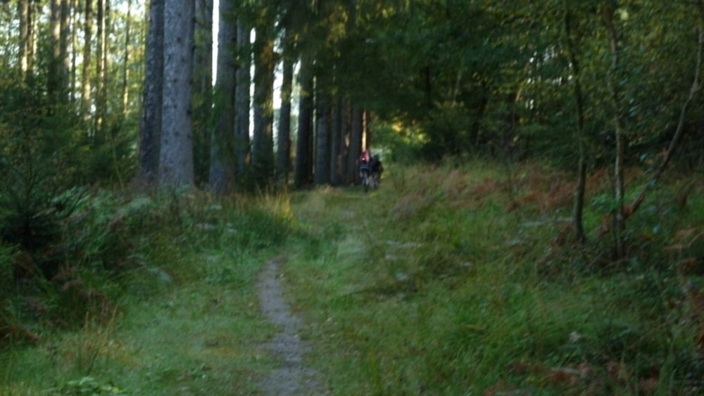
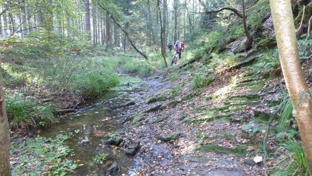
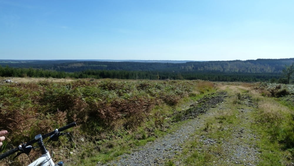
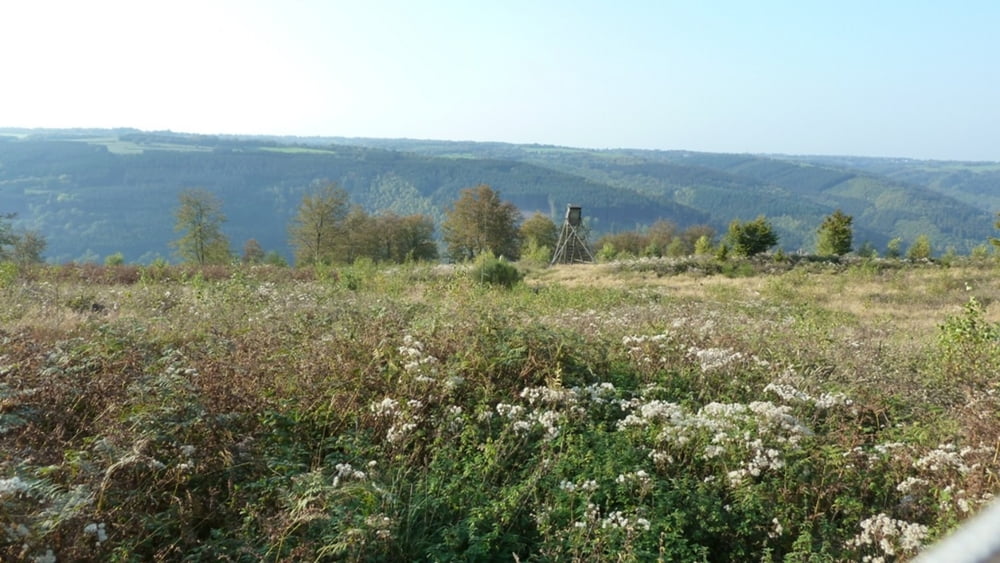
Start ist in Aachen am Ponyhof Meisel (Kornelimünsterweg). Von dort geht es durch den Aachener Wald nach Lichtenbusch (Belgien),weiter über Sief/Raeren nach Petersgenfeld. Südlich von Roetgen über traumhafte Trails ins Venn. Durch das Venn geht es weiter Richtung Mützenich. In einem großen Bogen durch das belgische Venn Richtung Kalterherberg. Über GUT HEISTERT, wo man dann schön nach knapp 60km eine Pause machen kann, geht es weiter durch das Perlbachtal hoch in den Nationalpark Eifel. Nach Überqueren der Bundesstraße folgt eine Talfahrt. Und anschließend der Anstieg hoch bis zum Forsthaus "ROTHE KREUZ". Wir folgen nun dem Höhenweg "Langscheider Straße" und "Forsthaus Dedenborn" Richtung Einruhr. Jetzt noch die letzen Kilometer entlang des "Eifelsteig" bis hinab nach Einruhr, wo wir schließlich unsere Tagesetappe endet.
Den Rückweg nach Aachen gibt es unter Tour 94275
Tour gallery
Tour map and elevation profile
Minimum height 242 m
Maximum height 666 m
More about the tour author
|
|
hilli_ac |
Comments

GPS tracks
Trackpoints-
GPX / Garmin Map Source (gpx) download
-
TCX / Garmin Training Center® (tcx) download
-
CRS / Garmin Training Center® (crs) download
-
Google Earth (kml) download
-
G7ToWin (g7t) download
-
TTQV (trk) download
-
Overlay (ovl) download
-
Fugawi (txt) download
-
Kompass (DAV) Track (tk) download
-
Track data sheet (pdf) download
-
Original file of the author (gpx) download
More about the tour author
|
|
hilli_ac |
Add to my favorites
Remove from my favorites
Edit tags
Open track
My score
Rate