


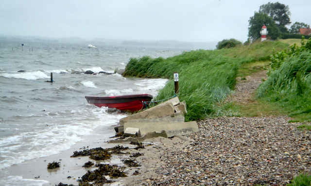
Gendarmstien is based on an old border patrol path that was used from 1920-1958. The trail begins in Padborg near the German/Danish border and ends in a small village on the island Als. The trail runs along the coast of southeastern Jutland and southern Als, but in some areas it swings into the countryside. It may be an advantage to study the Danish border history due to the many historical references along the trail, but the trail can also be enjoyed solely on its varied landscape and scenic views.
A 48 page leaflet with good maps is available from the tourist offices.
A 48 page leaflet with good maps is available from the tourist offices.
Further information at
http://www.sydjylland.com/index.lasso?page=324X4640Tour gallery
Tour map and elevation profile
Minimum height -49 m
Maximum height 79 m
More about the tour author

|
sba |
Comments

The trail can be accessed from the main road no. 8. Look for road signs with a blue border patrol man next to the word "Gendarmstien". Many smaller roads lead directly to good parking and picnic areas, so you can easily plan your own part of the trail.
GPS tracks
Trackpoints-
GPX / Garmin Map Source (gpx) download
-
TCX / Garmin Training Center® (tcx) download
-
CRS / Garmin Training Center® (crs) download
-
Google Earth (kml) download
-
G7ToWin (g7t) download
-
TTQV (trk) download
-
Overlay (ovl) download
-
Fugawi (txt) download
-
Kompass (DAV) Track (tk) download
-
Track data sheet (pdf) download
-
Original file of the author (gpx) download
More about the tour author
|
|
sba |
Add to my favorites
Remove from my favorites
Edit tags
Open track
My score
Rate