


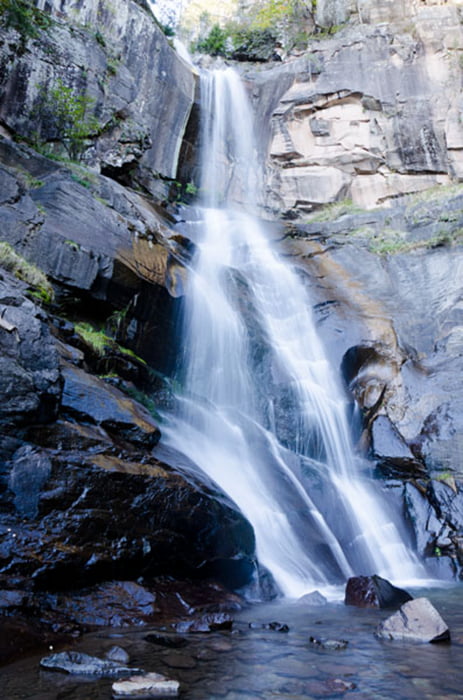
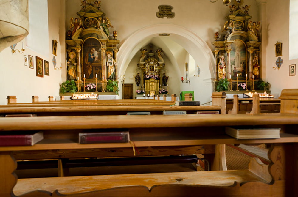
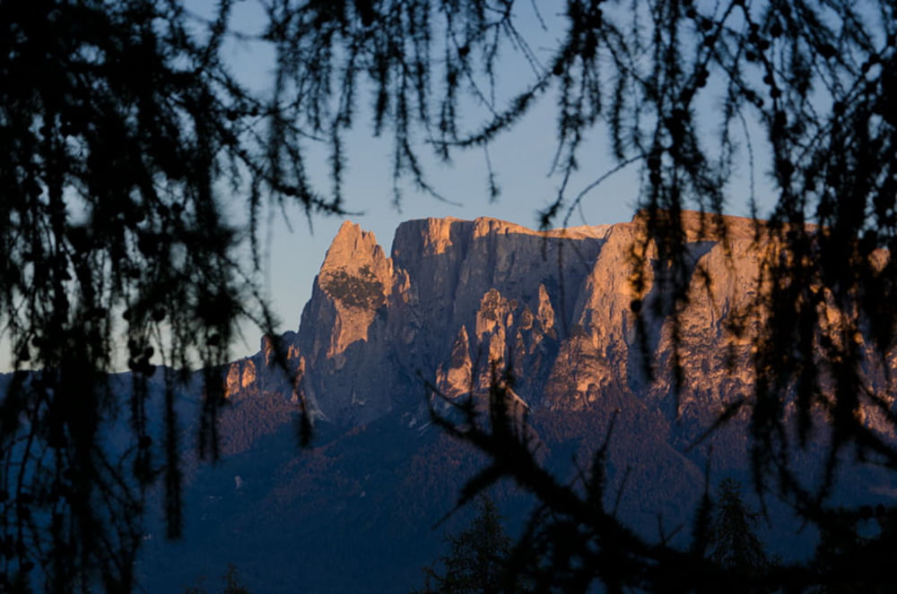
Startpunkt der Rundwanderung Ritten-Barbian ist die Wallfahrtskirche Maria Saal auf dem Ritten. Von hier aus geht es aussichtsreich (Blick zum Schlerngebiet) über die Saubacher Alm Schritzenholz, dann durch den Wald zum Wasserfallweg, vorbei an den Saubacher (oder auch Barbianer) Wasserfällen, die sich hier oberhalb von Waidbruck im Eisacktal über 8 Stufen in Richtung Eisack hinab stürzen, hinab nach Barbian. Von Barbian aus führt der Keschtnweg (Kastanienweg) nach Saubach und schließlich über das Kirchlein St. Verena nach Lengstein und wieder zurück zum Ausgangspunkt, der Wallfahrtskirche Maria Saal am Ritten.
Further information at
http://www.diewanderer.it/herbstwanderung-ritten-barbian/Tour gallery

Tour map and elevation profile
Minimum height 759 m
Maximum height 1477 m
More about the tour author

|
dimizu |
Comments

Die Anfahrt erfolgt von Südtirols Landeshauptstadt Bozen über die Rittner Straße nach Klobenstein, weiter nach Lengmoss bis nach Maria Saal.
GPS tracks
Trackpoints-
GPX / Garmin Map Source (gpx) download
-
TCX / Garmin Training Center® (tcx) download
-
CRS / Garmin Training Center® (crs) download
-
Google Earth (kml) download
-
G7ToWin (g7t) download
-
TTQV (trk) download
-
Overlay (ovl) download
-
Fugawi (txt) download
-
Kompass (DAV) Track (tk) download
-
Track data sheet (pdf) download
-
Original file of the author (gpx) download
More about the tour author
|
|
dimizu |
Add to my favorites
Remove from my favorites
Edit tags
Open track
My score
Rate