


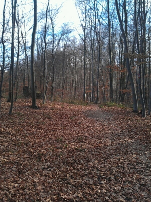
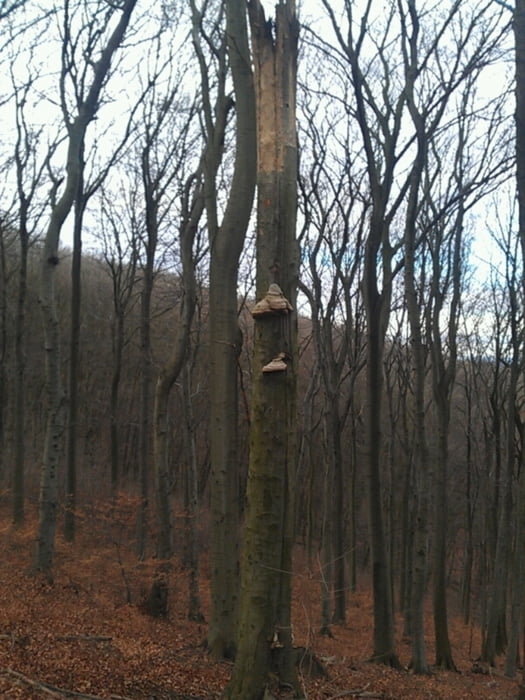
Wir starten in Wien und folgen dem Donaukanal bis zum Kahlenberg. Dort geht es dann ueber die Weinberge hinauf und weiter Richtung Sophienalpe. Am oberen Ende des Dambachgraben zweigen wir Richtung Lebereck in den Wald ab und folgen einem Wanderweg bis Untermauerbach. Dort geht es steil hinauf zur Siedlung Augustinerwald. Zum Abschluss folgt man der Forstrasse zum Auhof, und von dort dem Radweg retour nach Wien.
Awechslungsreiche Runde abseits der beschilderten MtB-Strecken.
Bei Naesse wird die Tour zur Schlammschlacht.
Tour gallery

Tour map and elevation profile
Minimum height 154 m
Maximum height 500 m
More about the tour author
|
|
keywan |
Comments

GPS tracks
Trackpoints-
GPX / Garmin Map Source (gpx) download
-
TCX / Garmin Training Center® (tcx) download
-
CRS / Garmin Training Center® (crs) download
-
Google Earth (kml) download
-
G7ToWin (g7t) download
-
TTQV (trk) download
-
Overlay (ovl) download
-
Fugawi (txt) download
-
Kompass (DAV) Track (tk) download
-
Track data sheet (pdf) download
-
Original file of the author (gpx) download
More about the tour author
|
|
keywan |
Add to my favorites
Remove from my favorites
Edit tags
Open track
My score
Rate