

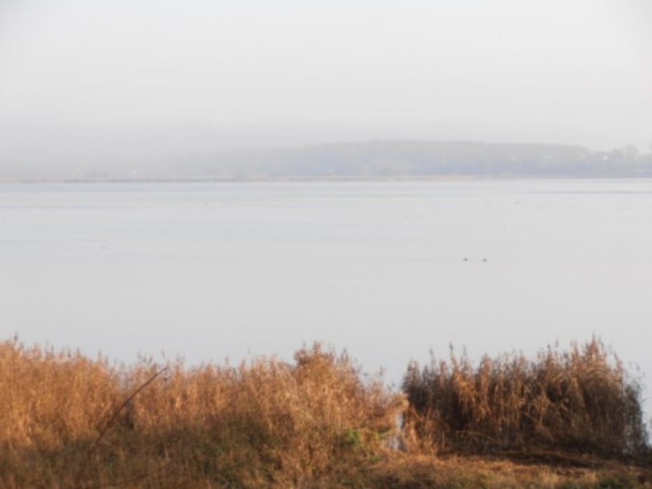
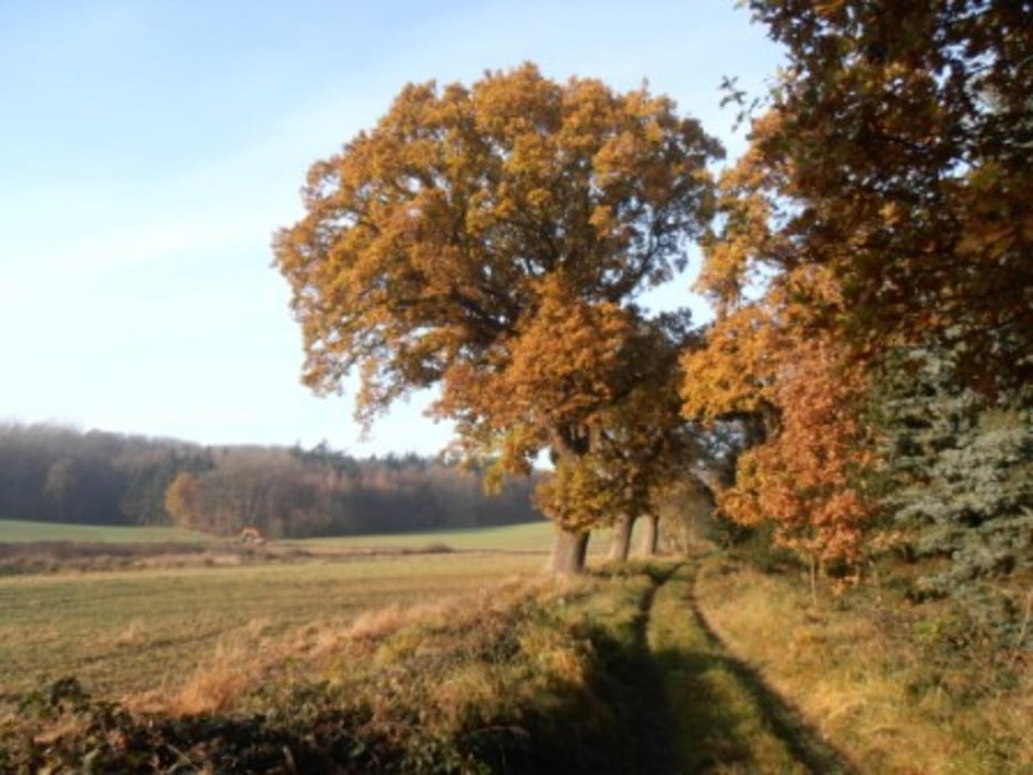
Landschaftlich schöne Wanderung um den großen Binnensee in Hohwacht.
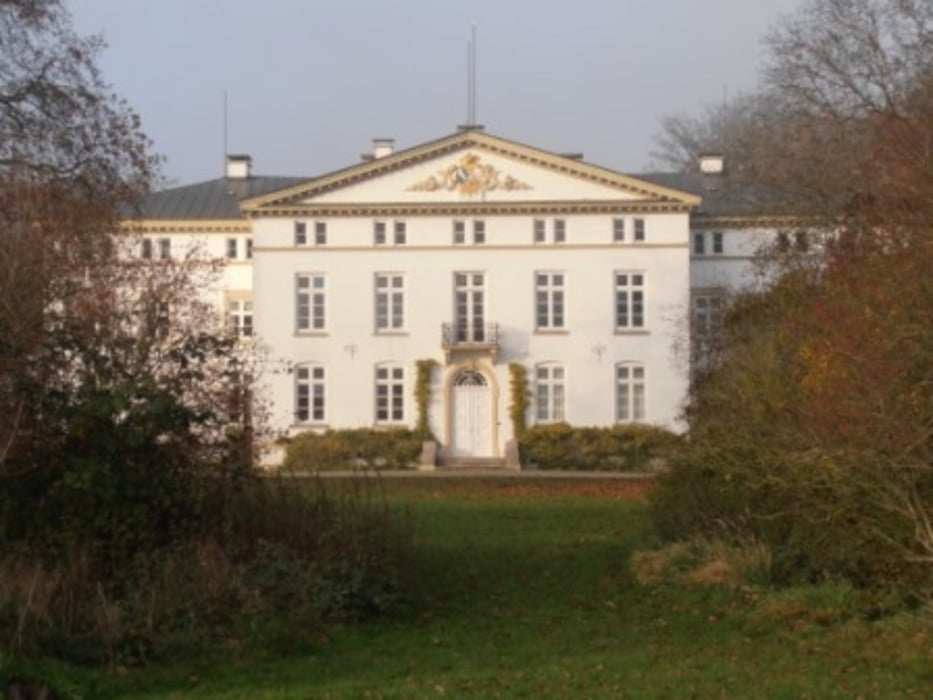
Einkehrmöglichkeiten in Hohwacht. Leider verläuft ein Teil er Strecke auf Rad- und Fußwegen entlag der Straße. Wir haben leider keine Alternativstrecke gefunden. Trotzdem war die Wanderung unbedingt sehenswert. Sehr schöne Häuser, ein eindrucksvolles Landgut und eine schöne Strecke am Ufer. Was will man mehr?
Tour gallery
Tour map and elevation profile
Minimum height -21 m
Maximum height 29 m
More about the tour author

|
wanderer_09 |
Comments

Wir haben in Hohwacht geparkt, ist in der Saison allerdings kostenpflichtig.
GPS tracks
Trackpoints-
GPX / Garmin Map Source (gpx) download
-
TCX / Garmin Training Center® (tcx) download
-
CRS / Garmin Training Center® (crs) download
-
Google Earth (kml) download
-
G7ToWin (g7t) download
-
TTQV (trk) download
-
Overlay (ovl) download
-
Fugawi (txt) download
-
Kompass (DAV) Track (tk) download
-
Track data sheet (pdf) download
-
Original file of the author (gpx) download
More about the tour author
|
|
wanderer_09 |
Add to my favorites
Remove from my favorites
Edit tags
Open track
My score
Rate