


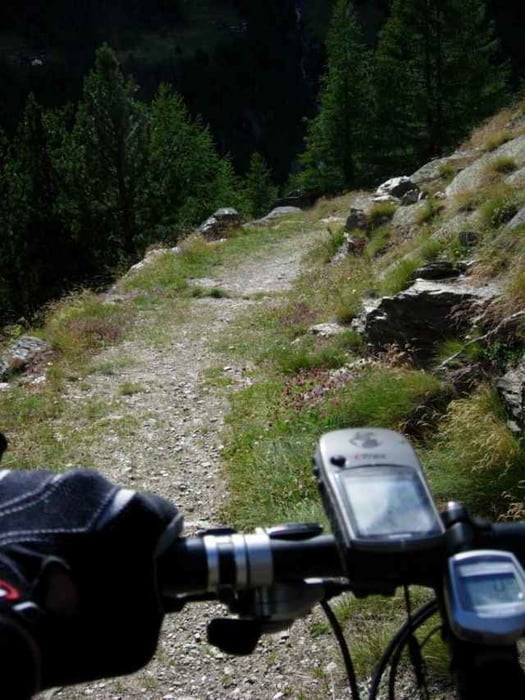
Genussvoller Anstieg grösstenteils über Schotter mit einer sehr gleichmässigen Steigung zur Mittelstation der Bergbahn Hohsaas (Kreuzboden).
Die Abfahrt erfolgte zunächst über die Skipiste (die Steilheit einer Skipiste erlebt man mit dem Bike allerdings völlig anders als mit Skiern ...), anschliessend teils über die Aufstiegsroute, teils Abkürzungen über den gut ausgebauten Wanderweg nach Saas Grund. Die viel begangenen Wanderwege sollte man aber nur befahren, wenn möglichst keine Wanderer auf der Strecke zu erwarten sind (z.B. am Abend).
Die Abfahrt erfolgte zunächst über die Skipiste (die Steilheit einer Skipiste erlebt man mit dem Bike allerdings völlig anders als mit Skiern ...), anschliessend teils über die Aufstiegsroute, teils Abkürzungen über den gut ausgebauten Wanderweg nach Saas Grund. Die viel begangenen Wanderwege sollte man aber nur befahren, wenn möglichst keine Wanderer auf der Strecke zu erwarten sind (z.B. am Abend).
Tour gallery
Tour map and elevation profile
Minimum height 1551 m
Maximum height 2412 m
More about the tour author

|
schmirk |
Comments

Parkmöglichkeit bei der Talstation der Hohsaas-Seilbahn
GPS tracks
Trackpoints-
GPX / Garmin Map Source (gpx) download
-
TCX / Garmin Training Center® (tcx) download
-
CRS / Garmin Training Center® (crs) download
-
Google Earth (kml) download
-
G7ToWin (g7t) download
-
TTQV (trk) download
-
Overlay (ovl) download
-
Fugawi (txt) download
-
Kompass (DAV) Track (tk) download
-
Track data sheet (pdf) download
-
Original file of the author (g7t) download
More about the tour author
|
|
schmirk |
Add to my favorites
Remove from my favorites
Edit tags
Open track
My score
Rate