


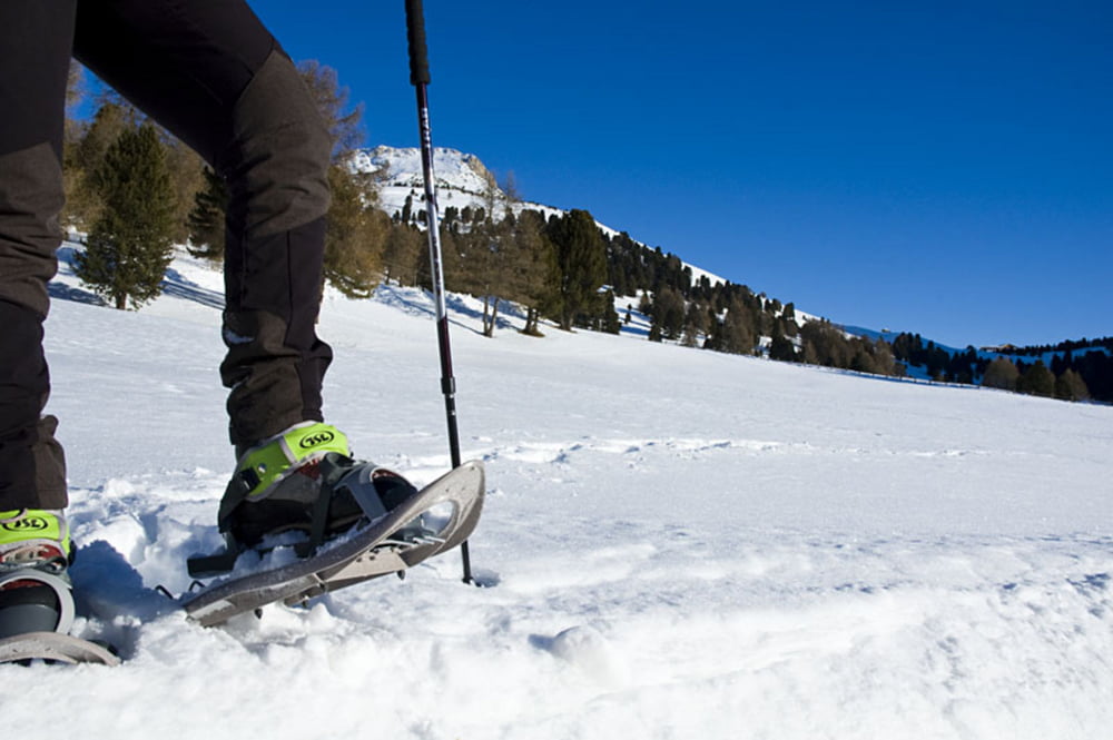
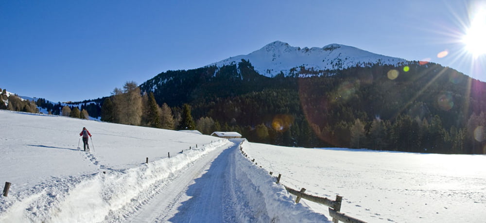
Die Schneeschuhwanderung bietet trotz weniger Höhenmeter einen guten Ausblick auf die Südtiroler Dolomiten, Schwarzhorn, Weißhorn, das Mendelgebirge und die Brenta Dolomiten. Die Wanderung beginnt in Radein und führt zunächst über Wandersteig Nr. 7 und dann entlang der Skipiste zum Hotel Corno Nero am Jochgrimm und dann circa 70 Höhenmeter den Hang des Weißhornes hinauf bevor es Richtung Gurndin Alm hinab geht. Entlang des Blauweges erreicht man schließlich wieder den Ausgangsort Radein.
Further information at
http://www.diewanderer.it/schneeschuhwandern-radein-jochgrimm-suedtirol/Tour gallery


Tour map and elevation profile
Minimum height 316 m
Maximum height 2079 m
More about the tour author

|
dimizu |
Comments

Ab der Autobahnausfahrt Neumarkt-Auer-Tramin über die SS12 und die SP72 nach Montan und weiter Richtung Aldein. Kurz vor Radein an der Kreuzung mit den zwei Panoramatafeln gibt es Abstellmöglichkeiten für PKW's.
GPS tracks
Trackpoints-
GPX / Garmin Map Source (gpx) download
-
TCX / Garmin Training Center® (tcx) download
-
CRS / Garmin Training Center® (crs) download
-
Google Earth (kml) download
-
G7ToWin (g7t) download
-
TTQV (trk) download
-
Overlay (ovl) download
-
Fugawi (txt) download
-
Kompass (DAV) Track (tk) download
-
Track data sheet (pdf) download
-
Original file of the author (gpx) download
More about the tour author
|
|
dimizu |
Add to my favorites
Remove from my favorites
Edit tags
Open track
My score
Rate