


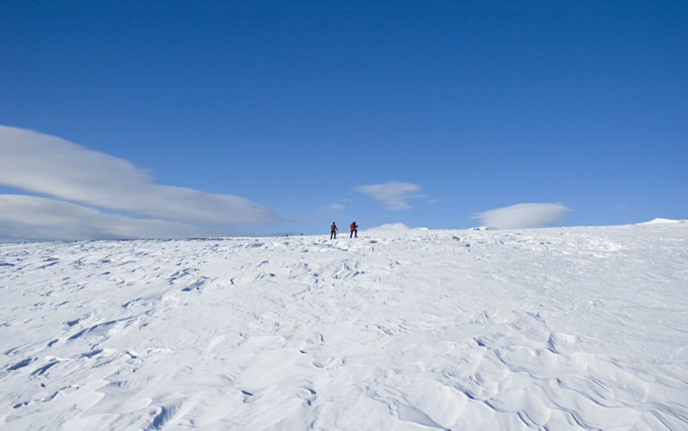
Von der Gasser Hütte führt der Wanderweg Nr. 15 über rund 300 Höhenmeter hinweg an der Rodelbahn entlang zur Stöfflhütte hinauf. Von der Hütte (Einkehr zu empfehlen!) geht die Villanderer Schneeschuhwanderung weiter zum Toten See und schließlich in einem großen Bogen durch ein Latschenkieferfeld zum Ausgangspunkt, dem Parkplatz an der Gasser Hütte oberhalb von Villanders im Eisacktal zurück. Aussichtsreiches Schneevergnügen, auch gut geeignet für Anfänger.
Further information at
http://www.diewanderer.it/schneeschuhwandern-villanderer-alm-villanders-sudtirol/Tour gallery


Tour map and elevation profile
Minimum height 1746 m
Maximum height 2131 m
More about the tour author

|
dimizu |
Comments

Von Klausen nach Villanders und weiter zur Villanderer Alm, wo das Auto auf dem kostenpflichtigen Parkplatz bei der Gasser Hütte geparkt werden kann.
GPS tracks
Trackpoints-
GPX / Garmin Map Source (gpx) download
-
TCX / Garmin Training Center® (tcx) download
-
CRS / Garmin Training Center® (crs) download
-
Google Earth (kml) download
-
G7ToWin (g7t) download
-
TTQV (trk) download
-
Overlay (ovl) download
-
Fugawi (txt) download
-
Kompass (DAV) Track (tk) download
-
Track data sheet (pdf) download
-
Original file of the author (gpx) download
More about the tour author
|
|
dimizu |
Add to my favorites
Remove from my favorites
Edit tags
Open track
My score
Rate