


Lehrpfad für Wetter und Klima mit kleinem Lernquiz
Hier geht’s um „Wetter und Klima“
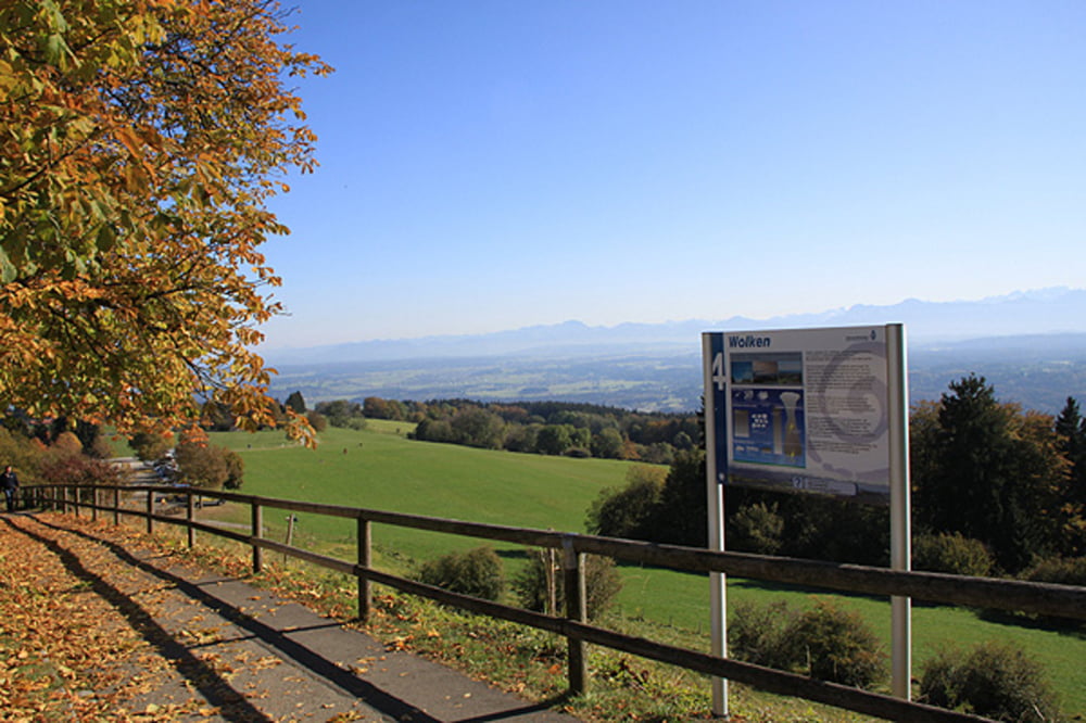
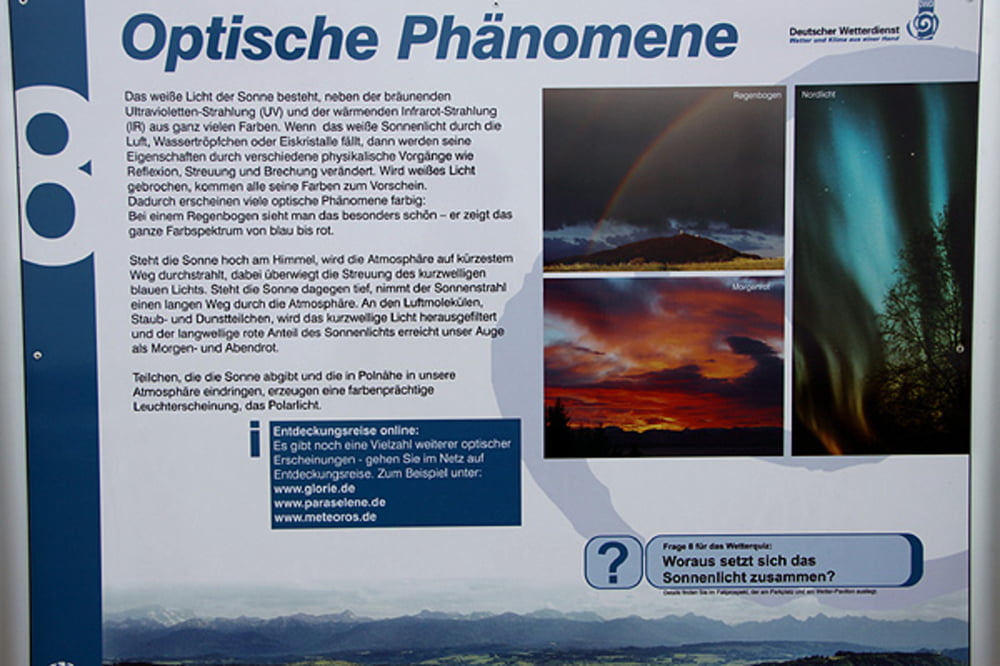
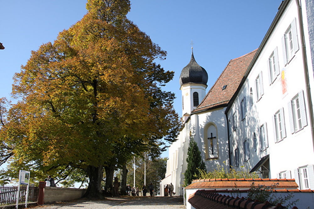
Der Weg führt vom unteren Parkplatz auf dem Hohen Peißenberg ( 1 Schautafel) aufwärts an der Gaststätte vorbei, zur alten Schule. An den drei Linden können Sie noch die Panoramatafel studieren. Weiter geht’s um die Kirche rum, auf der Nordseite der Kirche befindet sich die neunte Schautafel. Hier sehen Sie schon den Info-Pavillon des Observatoriums, auch sehr informativ. Über den oberen Parkplatz zurück zum Ausgangspunkt.
Tour gallery
Tour map and elevation profile
Minimum height 959 m
Maximum height 985 m
More about the tour author
|
|
Ritzelflitzer |
Comments

GPS tracks
Trackpoints-
GPX / Garmin Map Source (gpx) download
-
TCX / Garmin Training Center® (tcx) download
-
CRS / Garmin Training Center® (crs) download
-
Google Earth (kml) download
-
G7ToWin (g7t) download
-
TTQV (trk) download
-
Overlay (ovl) download
-
Fugawi (txt) download
-
Kompass (DAV) Track (tk) download
-
Track data sheet (pdf) download
-
Original file of the author (gpx) download
More about the tour author
|
|
Ritzelflitzer |
Add to my favorites
Remove from my favorites
Edit tags
Open track
My score
Rate