


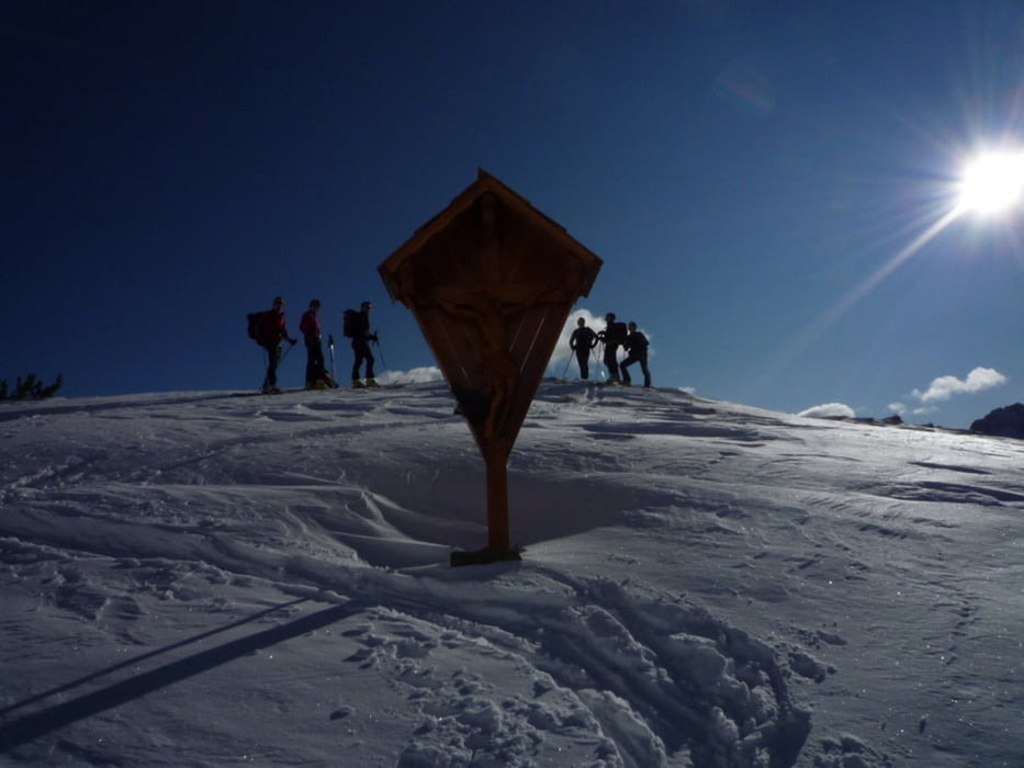
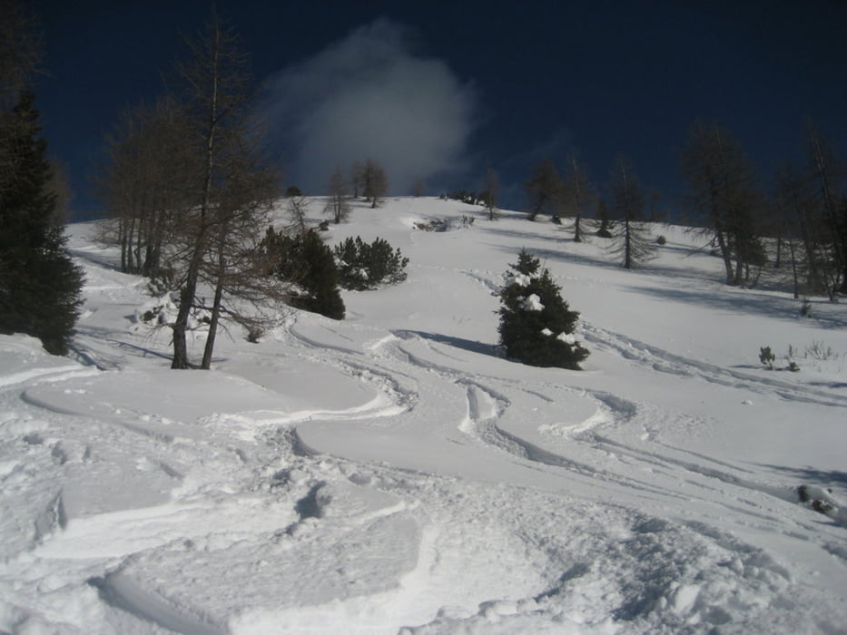
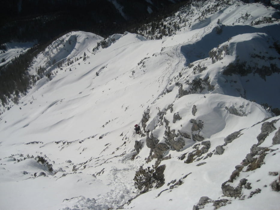
Dal parcheggio si imbocca e si segue, con le dovute abbreviazioni, la mulattiera che conduce al rifugio Grego. Dal rifugio, inizialmente leggermente in discesa, si segue la mulattiera che porta alla forcella di Sompdogna e malga Sompdogna. Da qui, per il sentiero estivo ci si porta verso il Jof di Miesegnot passando per il bivacco Battaglione Alpini di Gemona. Generalmente bisogna togliere gli sci per arrivare alla cima per un dislivello di circa 80mt.
Dalla cima meravigliosa vista sulle Alpi Giulie del circondario.
Tour gallery

Tour map and elevation profile
Minimum height 1002 m
Maximum height 2087 m
More about the tour author
|
|
beccarol |
Comments

Uscita autostrada ad Ugovizza, si imbocca la Val Saisera e la si segue fino a malga Saisera nei cui pressi c'è un grande parcheggio.
GPS tracks
Trackpoints-
GPX / Garmin Map Source (gpx) download
-
TCX / Garmin Training Center® (tcx) download
-
CRS / Garmin Training Center® (crs) download
-
Google Earth (kml) download
-
G7ToWin (g7t) download
-
TTQV (trk) download
-
Overlay (ovl) download
-
Fugawi (txt) download
-
Kompass (DAV) Track (tk) download
-
Track data sheet (pdf) download
-
Original file of the author (gpx) download
More about the tour author
|
|
beccarol |
Add to my favorites
Remove from my favorites
Edit tags
Open track
My score
Rate