Login

Forgotten password?

Cookies have to be accepted!
Your browser's cookie functionality is disabled. Please enable this functionality.

Not a member yet?

Register now
Login

Available for registred users only

Log in to use this feature.

Forgotten password?

Cookies have to be accepted!
Your browser's cookie functionality is disabled. Please enable this functionality.

Not a member yet?

Register now
Filter
Categories
Advanced filters
  • Distance (km)
  • Height
Save filters Reset filter

TrackRank

QRCode

Technical data

Distance9,1 km Height263 m Way down325 m Duration01:00 h:m Date15.01.2012
Scores Author Landscape Fun factor Fitness Technique

Statistics

492 Views Scores 39 Downloads Average
Rate
  • Track data sheet
  • Directions
  • Downloads

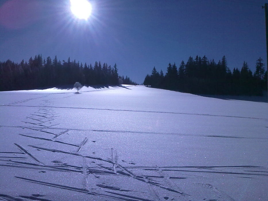
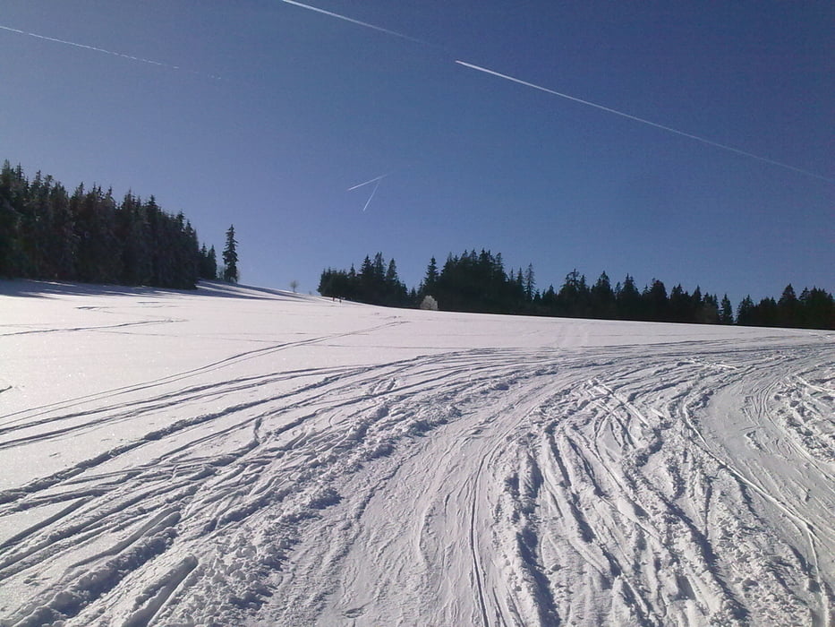
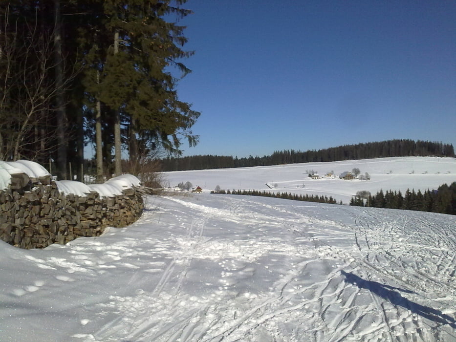
Schöne Langlaufloipe mit herrlicher Sicht.

Die Tour kann auch erweitert werden (siehe Homepage).


Es gibt auch die Möglichkeit zum Skaten.


Viel Spass!


Further information at

http://www.thurnerspur.de/

Tour gallery

Tour map and elevation profile

  • Open Street Map
  • Google
Minimum height 963 m Maximum height 1102 m Detailed view

More about the tour author

Tom19
Member since 2008

Send private message

Comments

B500 - siehe Daten

GPS tracks

Trackpoints
  • GPX / Garmin Map Source (gpx) download
  • TCX / Garmin Training Center® (tcx) download
  • CRS / Garmin Training Center® (crs) download
  • Google Earth (kml) download
  • G7ToWin (g7t) download
  • TTQV (trk) download
  • Overlay (ovl) download
  • Fugawi (txt) download
  • Kompass (DAV) Track (tk) download
  • Track data sheet (pdf) download
  • Original file of the author (gpx) download

More about the tour author

Tom19
Member since 2008

Send private message
Share track
Add to my favorites
Remove from my favorites
Edit tags
My score
Rate
Track: Thurnerspur - Langlaufloipe - Hochschwarzwald
Type: Cross-country skiing
Distance: 9,1 km
Evaluated on:
Duration:
Day(s)
Hour(s)
Minute(s)
Score: Landscape Fun factor Fitness Technique