Login

Forgotten password?

Cookies have to be accepted!
Your browser's cookie functionality is disabled. Please enable this functionality.

Not a member yet?

Register now
Login

Available for registred users only

Log in to use this feature.

Forgotten password?

Cookies have to be accepted!
Your browser's cookie functionality is disabled. Please enable this functionality.

Not a member yet?

Register now
Filter
Categories
Advanced filters
  • Distance (km)
  • Height
Save filters Reset filter

TrackRank

QRCode

Technical data

Distance7,3 km Height82 m Way down69 m Duration00:00 h:m Date15.01.2012
Scores Author User Landscape Fun factor Fitness Technique

Statistics

4737 Views 1 Score 149 Downloads 3.00 Average
Rate
  • Track data sheet
  • Directions
  • Downloads

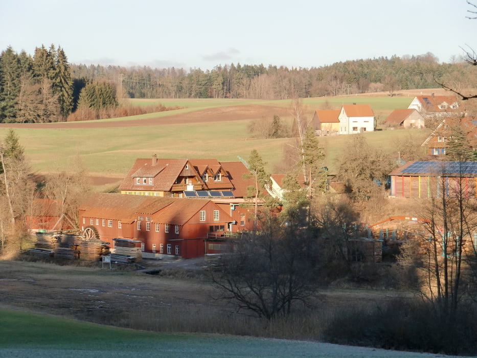
Start am Wanderparkplatz an der L1080 in der Nähe von Schadberg.

Grundsätzlich kann bei jeder Straßenquerung gestartet werden; das KFZ findet überall einen Platz.
Wir haben die Stecke im Uhrzeigersinn begangen.
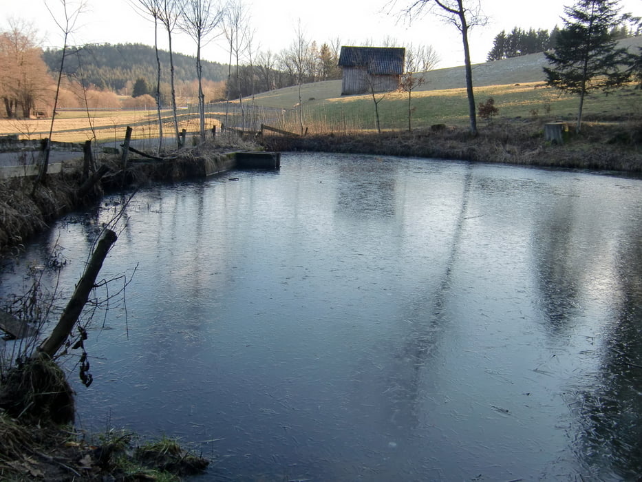
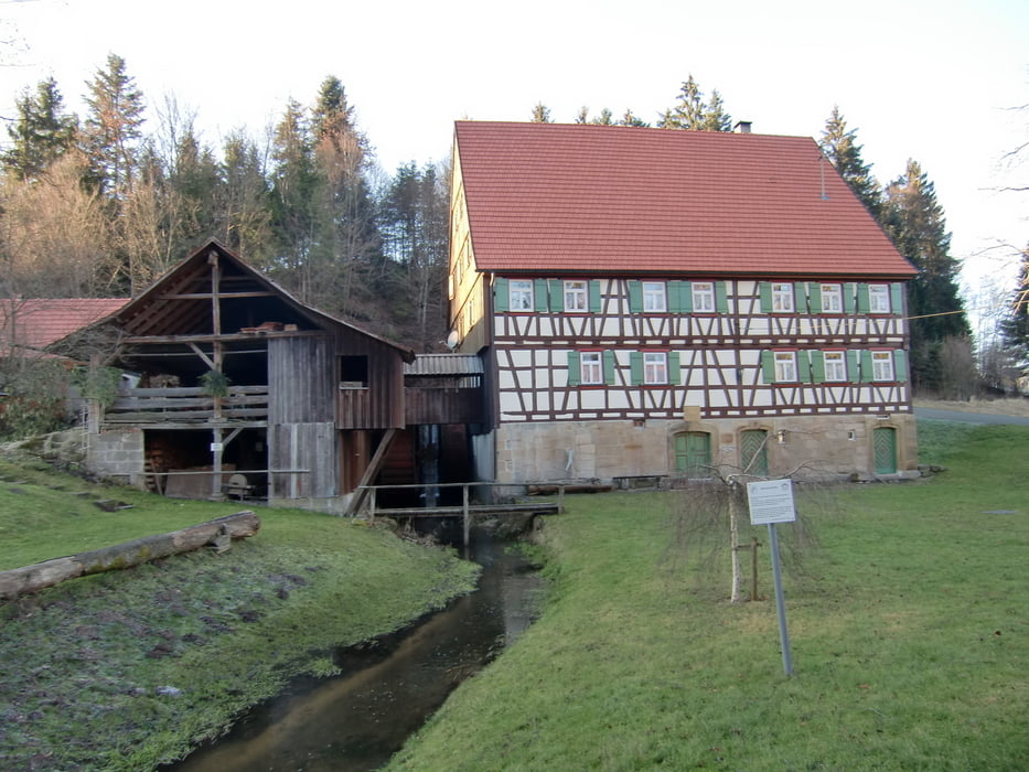
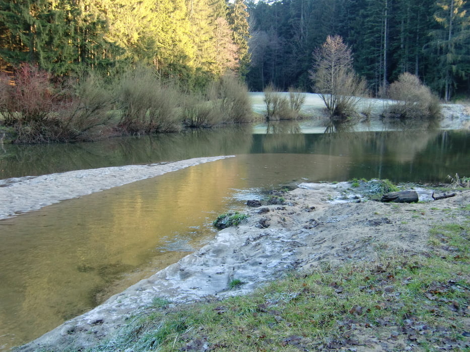
Tour gallery

Tour map and elevation profile

  • Open Street Map
  • Google
Minimum height 441 m Maximum height 489 m Detailed view

More about the tour author

ha_wo
Member since 2008

Send private message

Comments

GPS tracks

Trackpoints
  • GPX / Garmin Map Source (gpx) download
  • TCX / Garmin Training Center® (tcx) download
  • CRS / Garmin Training Center® (crs) download
  • Google Earth (kml) download
  • G7ToWin (g7t) download
  • TTQV (trk) download
  • Overlay (ovl) download
  • Fugawi (txt) download
  • Kompass (DAV) Track (tk) download
  • Track data sheet (pdf) download
  • Original file of the author (gpx) download

More about the tour author

ha_wo
Member since 2008

Send private message
Share track
Add to my favorites
Remove from my favorites
Edit tags
My score
Rate
Track: Rundwanderung Hüttenbühlsee-Hagerwaldsee
Type: Hiking
Distance: 7,3 km
Evaluated on:
Duration:
Day(s)
Hour(s)
Minute(s)
Score: Landscape Fun factor Fitness Technique