
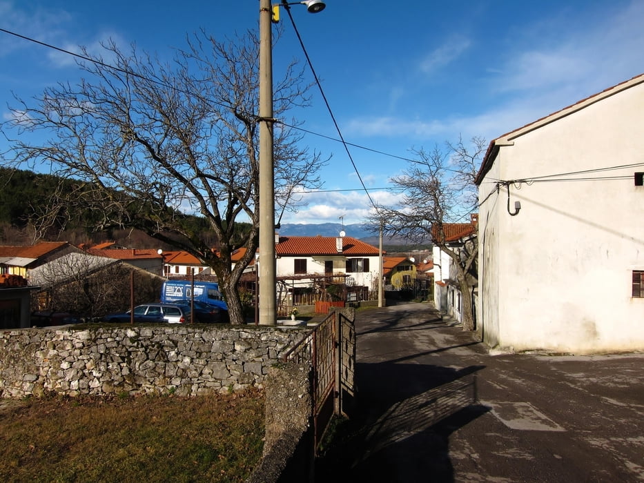

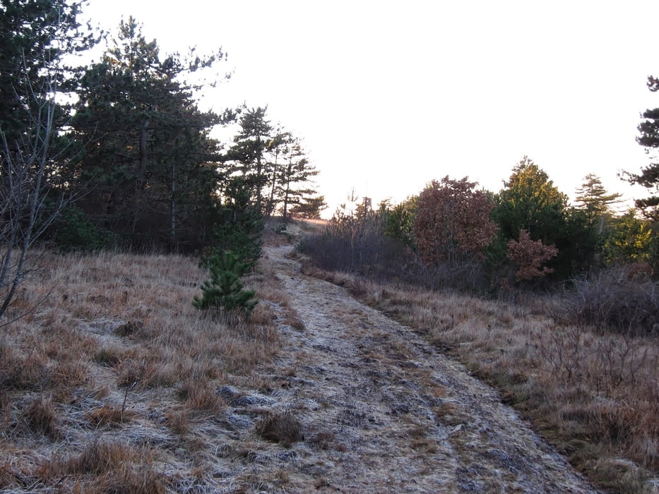
Beautiful tour just minutes away from Trieste. No really hard inclines, nice and changing landscapes. Tour is perfectly ridable throughout the year and parking is easily available on the Basovizza border crossing.
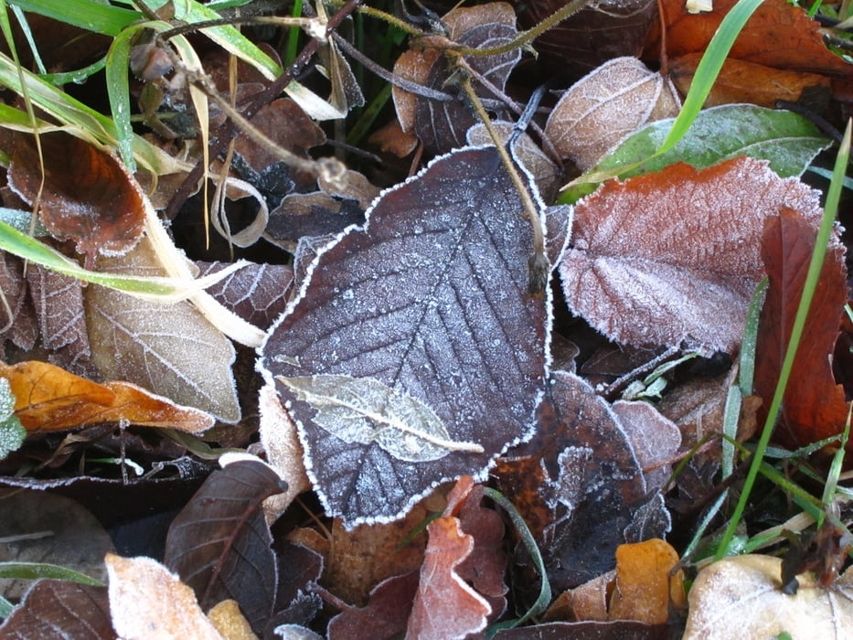
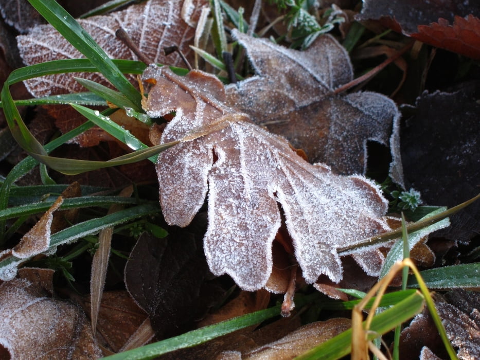
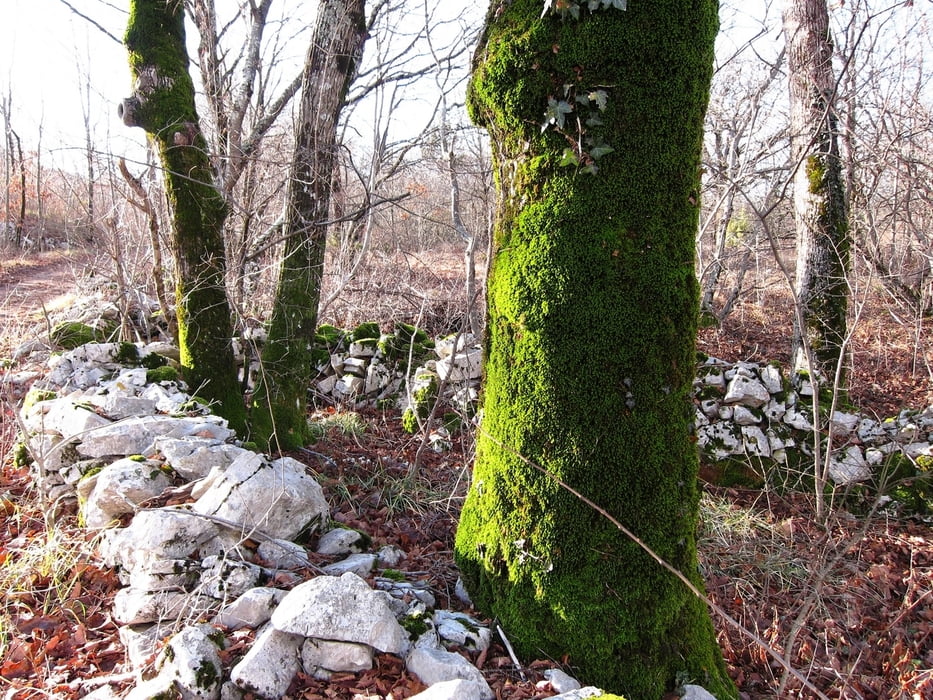
Tour gallery
Tour map and elevation profile
Minimum height 362 m
Maximum height 524 m
More about the tour author

|
The_Rat |
Comments

From Trieste, head towards Basovizza. Directly after entering the town, leave the main street towards Pesek slightly to the left. Arounf 1km you will reach the former border-crossing which is the starting point.
GPS tracks
Trackpoints-
GPX / Garmin Map Source (gpx) download
-
TCX / Garmin Training Center® (tcx) download
-
CRS / Garmin Training Center® (crs) download
-
Google Earth (kml) download
-
G7ToWin (g7t) download
-
TTQV (trk) download
-
Overlay (ovl) download
-
Fugawi (txt) download
-
Kompass (DAV) Track (tk) download
-
Track data sheet (pdf) download
-
Original file of the author (gpx) download
More about the tour author
|
|
The_Rat |
Add to my favorites
Remove from my favorites
Edit tags
Open track
My score
Rate