


folgt...
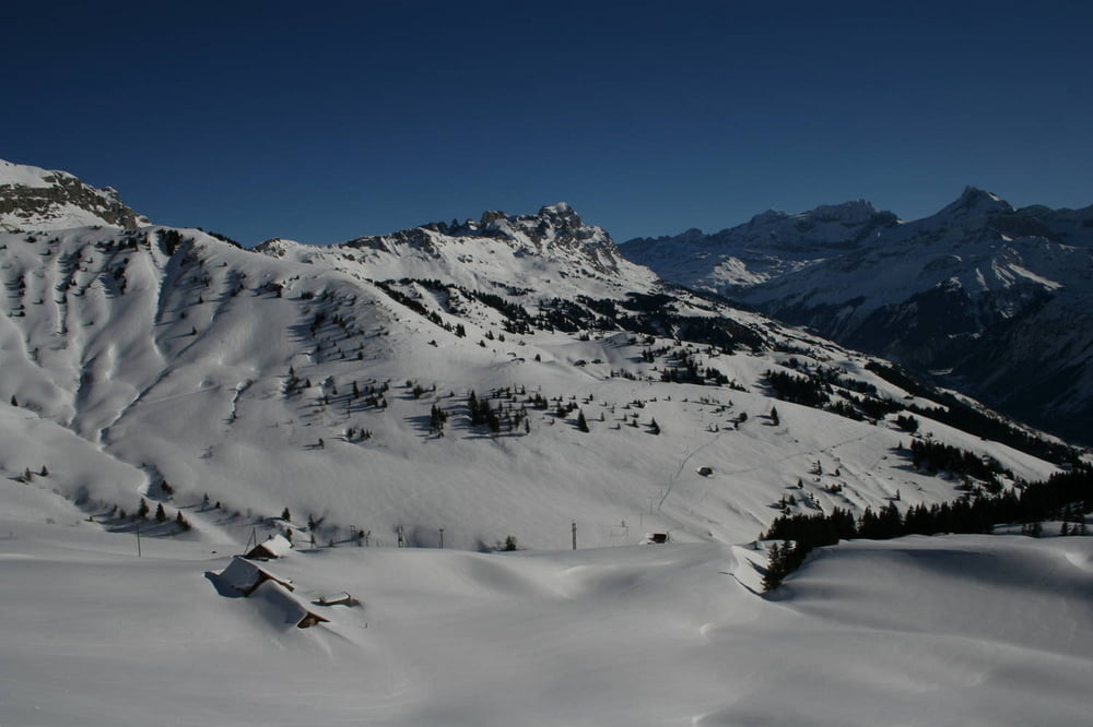
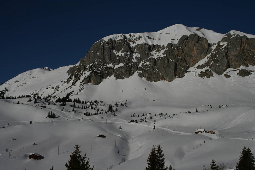
Tour gallery
Tour map and elevation profile
Minimum height 1486 m
Maximum height 1868 m
More about the tour author
|
|
s-braeutigam |
Comments

Von der SBB-Station Flüelen sind es 15-20 Minuten zu Fuss in südlicher Richtung entlang der Hauptstrasse bis zur Luftseilbahn Flüelen-Eggbergen.
Ab Biel verkehrt eine weitere Luftseilbahn nach Brügg, von wo Postautos nach Altdorf bzw. Flüelen zurückfahren. Da diese Busverbindungen nicht so häufig sind und teilweise Wartezeiten bei den Lufseilbahnen auftreten, ist es eventuell empfehlenswert, die Route in umgekehrter Richtung zu gehen, da so die kompliziertere Anreise nach Brügg besser geplant werden kann.
GPS tracks
Trackpoints-
GPX / Garmin Map Source (gpx) download
-
TCX / Garmin Training Center® (tcx) download
-
CRS / Garmin Training Center® (crs) download
-
Google Earth (kml) download
-
G7ToWin (g7t) download
-
TTQV (trk) download
-
Overlay (ovl) download
-
Fugawi (txt) download
-
Kompass (DAV) Track (tk) download
-
Track data sheet (pdf) download
-
Original file of the author (gpx) download
More about the tour author
|
|
s-braeutigam |
Add to my favorites
Remove from my favorites
Edit tags
Open track
My score
Rate