Login

Forgot your login?

Cookies have to be accepted!
Your browser's cookie functionality is disabled. Please enable this functionality.

Not a member yet?

Register now
Login

Available for registred users only

Log in to use this feature.

Forgot your login?

Cookies have to be accepted!
Your browser's cookie functionality is disabled. Please enable this functionality.

Not a member yet?

Register now
Filter
Categories
Advanced filters
  • Distance (km)
  • Height
Save filters Reset filter

TrackRank

QRCode

Technical data

Distance7,3 km Height188 m Way down180 m Duration02:00 h:m Date21.01.2012
Scores Author Landscape Fun factor Fitness Technique

Statistics

649 Views Scores 28 Downloads Average
Rate
  • Track data sheet
  • Directions
  • Downloads

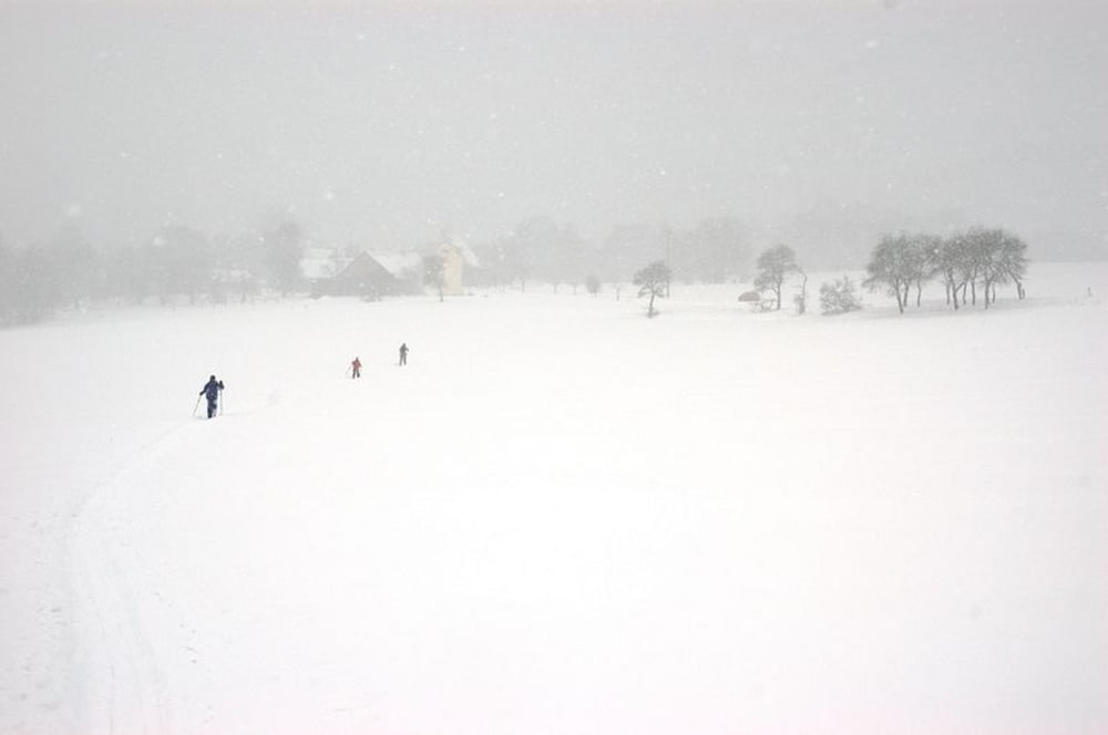
Loipen: Maschinell und "wild" gespurte Loipen durch Wiesen- und Waldlandschaft. Insgesamt sind es fünf Loipen zwischen 1 und 6 km. Neben der kurzen Panoramaloipe (3km) führt die längere Märchenwaldloipe (6km) durch die hügelige Landschaft. Beide lassen sich auch zu einer längeren Runde kombinieren.

Vor Ort sind die Wegweiser manchmal rar, so dass sich ein Ausdruck des Streckenplans zur Orientierung lohnt (siehe Download), zumindest nach heftigen Schneefällen. Trotz sonniger Lage recht schneesicher. Die maschinell gespurten Loipen sind eine private Initiative des Schlosswirts von Lichtenegg, bei dem sich auch gut einkehren lässt.

weitere Fotos zur Tour:

plus.google.com/u/0/b/116210765488270908526/photos/116210765488270908526/albums/5678283928673729393

Further information at

https://plus.google.com/u/0/b/116210765488270908526/photos/116210765488270908526/albums/5678283928673729393

Tour map and elevation profile

  • Open Street Map
  • Google
Minimum height 454 m Maximum height 563 m Detailed view

More about the tour author

freizeit-as
Member since 2006

Send private message

Comments

Anfahrt: Über Weigendorf auf der B14 Richutng Haunritz, weiter nach Högen und dann nach Lichtenegg.

GPS tracks

Trackpoints
  • GPX / Garmin Map Source (gpx) download
  • TCX / Garmin Training Center® (tcx) download
  • CRS / Garmin Training Center® (crs) download
  • Google Earth (kml) download
  • G7ToWin (g7t) download
  • TTQV (trk) download
  • Overlay (ovl) download
  • Fugawi (txt) download
  • Kompass (DAV) Track (tk) download
  • Track data sheet (pdf) download
  • Original file of the author (gpx) download

More about the tour author

freizeit-as
Member since 2006

Send private message
Share track
Add to my favorites
Remove from my favorites
Edit tags
My score
Rate
Track: Langlauf Lichtenegg
Type: Cross-country skiing
Distance: 7,3 km
Evaluated on:
Duration:
Day(s)
Hour(s)
Minute(s)
Score: Landscape Fun factor Fitness Technique