
")

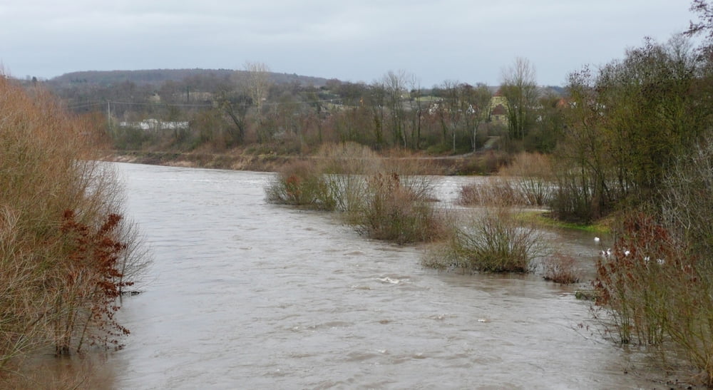
Von Bietigheim geht es den Enztalradweg nach Besigheim bis zum Neckar. Der Rückweg geht am Neckar entlang bis nach Ingersheim. Ca. 50 Höhenmeter müssen "überwunden" werden, um wieder nach Bietigheim zurückzukommen.
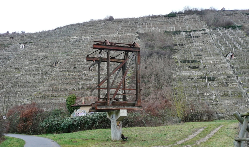
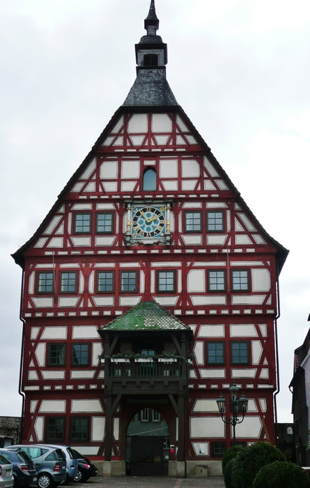
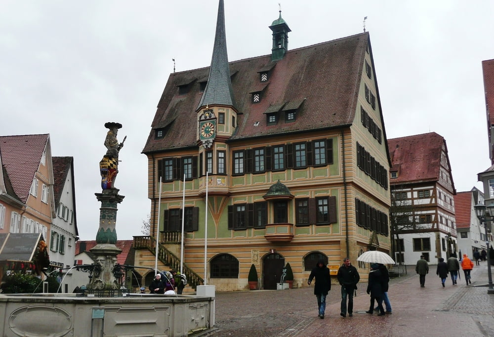
Sowohl Bietigheim als auch Besigheim sind lohnenswert zum Besichtigen. Die Fahrradstrecken an Enz und Neckar sind gut ausgeschildert und einfach zu fahren.
Weitere Bilder, siehe www.panoramio.com/photo/65371519
Further information at
http://www.bietigheim-bissingen.de/Tourismus.15.0.htmlTour gallery
Tour map and elevation profile
Minimum height 169 m
Maximum height 230 m
More about the tour author
|
|
MatthiasBy |
Comments

Bietigheim ist gut per S-Bahn erreichbar. Geparkt wurde bei dieser Tour auf einem Schulparkplatz. Wenn man will, kann man natürlich auch per Fahrrad nach Bietigheim, siehe Tour www.gps-tour.info/de/touren/detail.36461.html
GPS tracks
Trackpoints-
GPX / Garmin Map Source (gpx) download
-
TCX / Garmin Training Center® (tcx) download
-
CRS / Garmin Training Center® (crs) download
-
Google Earth (kml) download
-
G7ToWin (g7t) download
-
TTQV (trk) download
-
Overlay (ovl) download
-
Fugawi (txt) download
-
Kompass (DAV) Track (tk) download
-
Track data sheet (pdf) download
-
Original file of the author (gpx) download
More about the tour author
|
|
MatthiasBy |
Add to my favorites
Remove from my favorites
Edit tags
Open track
My score
Rate