


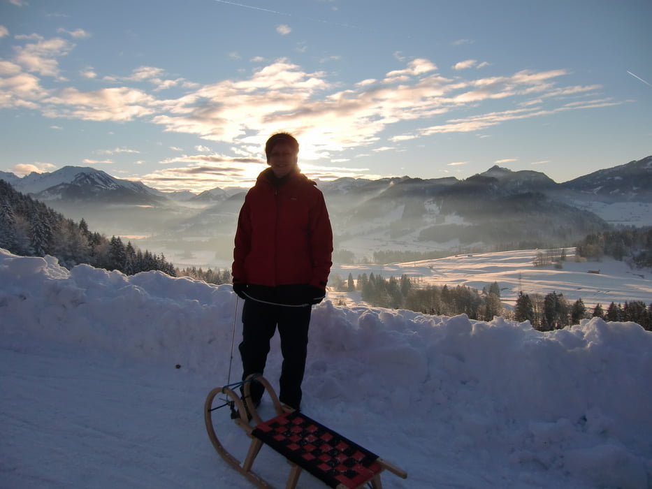
Vom Parkplatz Gaisalpe auf dem Wirtschaftsweg immer bergan Richtung Gaisalpe.
Gesamte Wegstrecke ca. 45 Minuten.
Wir sind nur gut die halbe Strecke (bis zum Wegpunkt "Wendepunkt") gegangen; den Rest des Tracks habe ich manuell editiert.
Infos zur Gaisalpe:
www.berggasthof-gaisalpe.de/
Tour gallery
Tour map and elevation profile
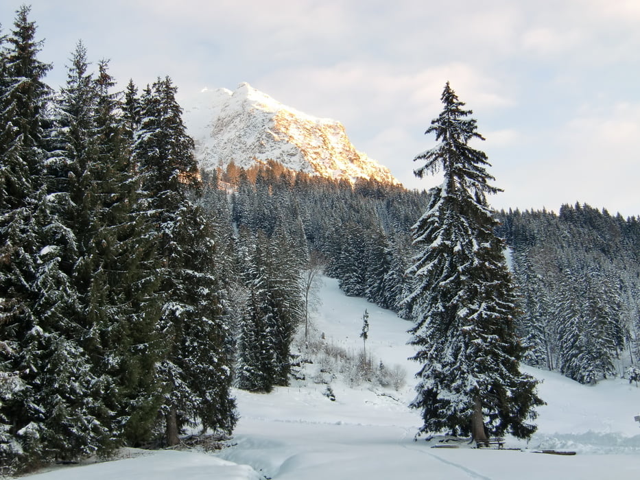
Minimum height 871 m
Maximum height 1139 m
More about the tour author
|
|
ha_wo |
Comments

Von Sonthofen oder Oberstdorf über die OA4 nach Reichenbach. Innerhalb des Ortes Abzweig in östlicher Richtung auf den "Parkplatz Gaisalpe". Achtung, der Abzweig ist schlecht beschildert.
GPS tracks
Trackpoints-
GPX / Garmin Map Source (gpx) download
-
TCX / Garmin Training Center® (tcx) download
-
CRS / Garmin Training Center® (crs) download
-
Google Earth (kml) download
-
G7ToWin (g7t) download
-
TTQV (trk) download
-
Overlay (ovl) download
-
Fugawi (txt) download
-
Kompass (DAV) Track (tk) download
-
Track data sheet (pdf) download
-
Original file of the author (gpx) download
More about the tour author
|
|
ha_wo |
Add to my favorites
Remove from my favorites
Edit tags
Open track
My score
Rate