


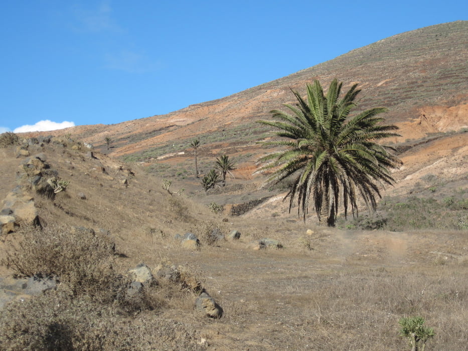
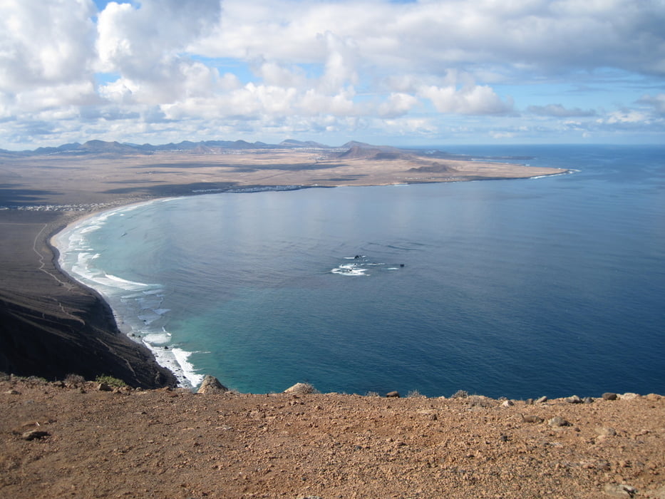
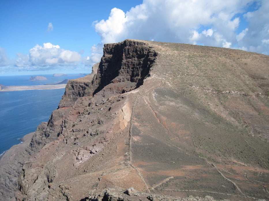
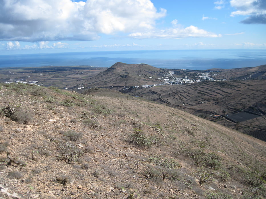
Von Haria gehen wir in Richtung Valle de las Castillios (Westen) vorbei an Palmen und Kakteen auf einer staubigen Sandpiste bis wir das Meer vor uns sehen. Dort biegen wir rechts ab und erklimmen den ersten Hügel. Dann wieder abwärts und erneut auf eine impossante Erhebung mit gut sichtbaren Weg. Der Abstieg führt uns weglos in Richtung Osten völlig ungefährlich und flach zurück nach Haria.
Tour gallery
Tour map and elevation profile
Minimum height 238 m
Maximum height 564 m
More about the tour author
|
|
tazzo |
Comments

Vorbei am Hauptplatz und dem Rathaus nach Osten.
GPS tracks
Trackpoints-
GPX / Garmin Map Source (gpx) download
-
TCX / Garmin Training Center® (tcx) download
-
CRS / Garmin Training Center® (crs) download
-
Google Earth (kml) download
-
G7ToWin (g7t) download
-
TTQV (trk) download
-
Overlay (ovl) download
-
Fugawi (txt) download
-
Kompass (DAV) Track (tk) download
-
Track data sheet (pdf) download
-
Original file of the author (gpx) download
More about the tour author
|
|
tazzo |
Add to my favorites
Remove from my favorites
Edit tags
Open track
My score
Rate