


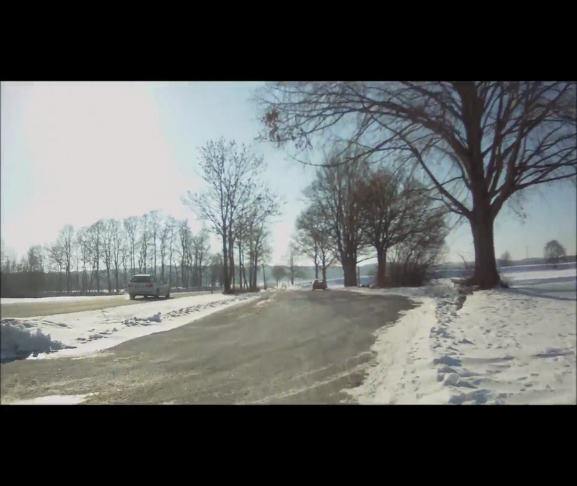
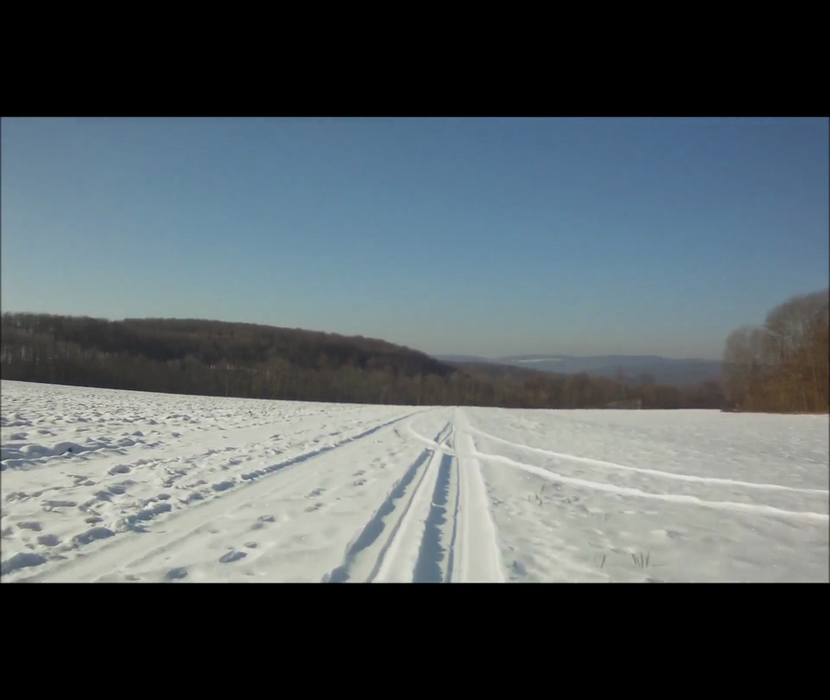
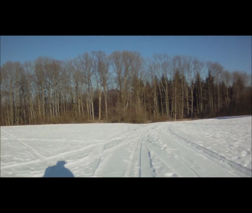
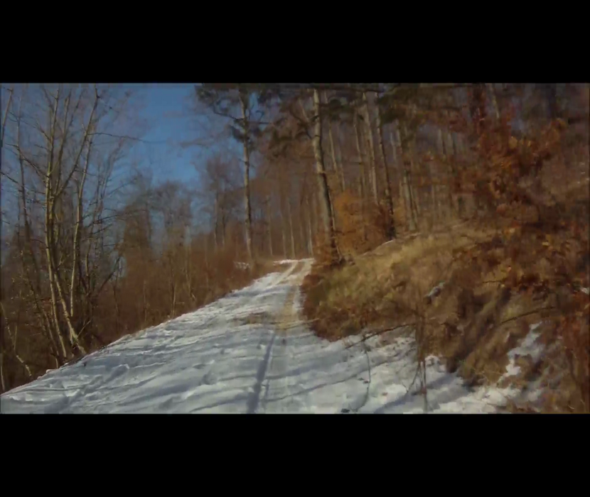
Die Tour ist komplett nur auf guten Wegen mit Asphalt, Schotter, Wald- und Feldwegen. Die Strasse wird fast gar nicht benötigt. Genau das richtige im Winter. Der Wechsel zwischen Abfahrt und Steigung kann bei kalten Temperaturen schnell zum Problem mit kalten Fingern werden.
Further information at
http://www.facebook.com/photo.php?v=338049429559691Tour gallery
Tour map and elevation profile
Minimum height 482 m
Maximum height 766 m
More about the tour author
|
|
mrosskopf |
Comments

Rund um Grabenstetten gibt es genügend Parkmöglichkeiten. An verschiedenen Plätzen in der Nähe des Tourbeginns gibt es ausreichend Parkplätze. Die Langläufer finden sie auch :-)
GPS tracks
Trackpoints-
GPX / Garmin Map Source (gpx) download
-
TCX / Garmin Training Center® (tcx) download
-
CRS / Garmin Training Center® (crs) download
-
Google Earth (kml) download
-
G7ToWin (g7t) download
-
TTQV (trk) download
-
Overlay (ovl) download
-
Fugawi (txt) download
-
Kompass (DAV) Track (tk) download
-
Track data sheet (pdf) download
-
Original file of the author (tcx) download
More about the tour author
|
|
mrosskopf |
Add to my favorites
Remove from my favorites
Edit tags
Open track
My score
Rate