
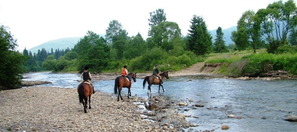

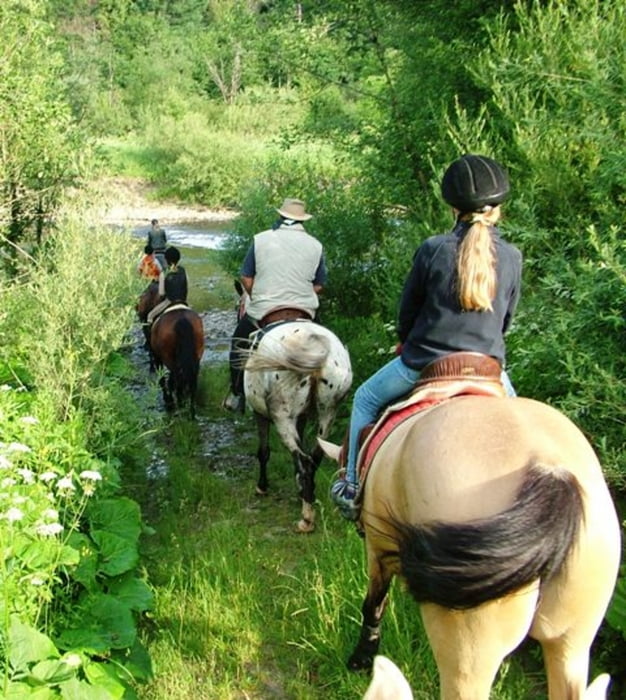
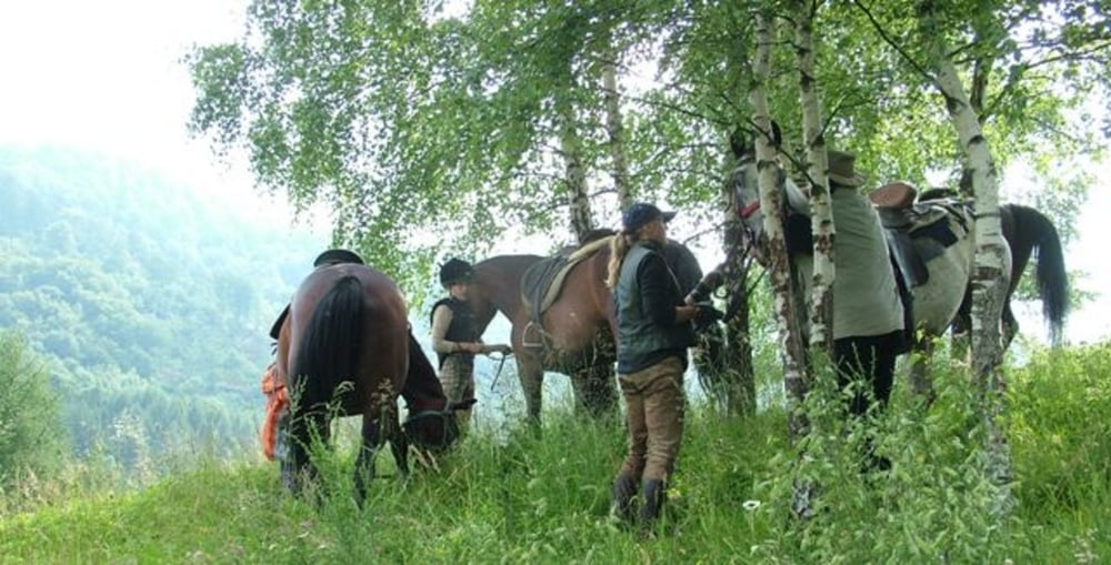
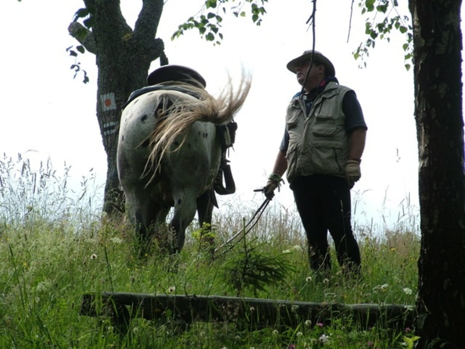
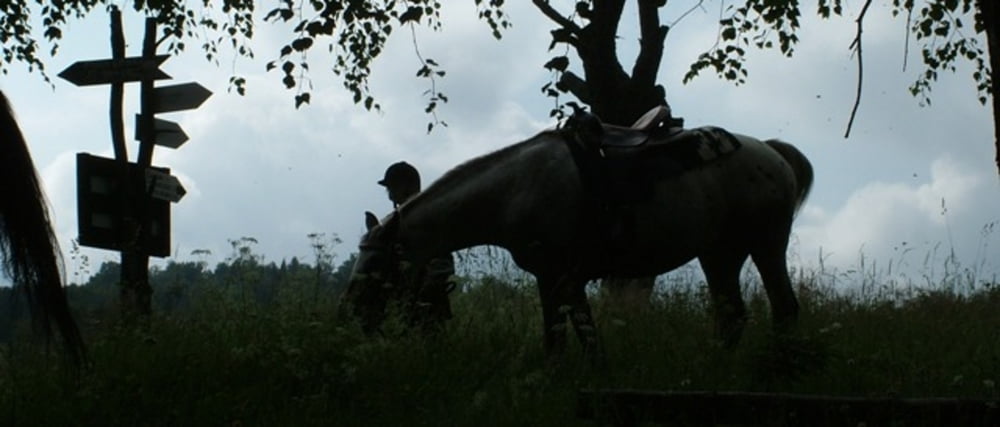
Jest to rajd 5 dniowy. Biegnie przez 3 pasma górskie. Pasmo Połonin, Pasmo Otrytu i Pasmo Łopiennika. Przejeżdżamy także przez moja ulubiona Dolinę Sanu. Jest to szlak obfitujący w wiadomości historyczne. W trakcie rajdu nocujemy m.in. w Chmielu u "Prezesa", jest to postać kultowa dla bieszczadzkiego jeździectwa. Wspaniałym miejscem jest także cerkiew w Smolniku i Łopience które to odwiedzamy w trakcie trasy. Miłym zaskoczeniem jest tzw. nasza trasa niedźwiedzia, gdzie prawie zawsze spotykamy jego ślady, ale o tym juz na trasie. Zapraszam www.carpatica.pl
Further information at
http://www.carpatica.plTour gallery
Tour map and elevation profile
Minimum height 425 m
Maximum height 949 m
More about the tour author
|
|
Sosnowydwor |
Comments

GPS tracks
Trackpoints-
GPX / Garmin Map Source (gpx) download
-
TCX / Garmin Training Center® (tcx) download
-
CRS / Garmin Training Center® (crs) download
-
Google Earth (kml) download
-
G7ToWin (g7t) download
-
TTQV (trk) download
-
Overlay (ovl) download
-
Fugawi (txt) download
-
Kompass (DAV) Track (tk) download
-
Track data sheet (pdf) download
-
Original file of the author (gpx) download
More about the tour author
|
|
Sosnowydwor |
Add to my favorites
Remove from my favorites
Edit tags
Open track
My score
Rate