Login

Forgot your login?

Cookies have to be accepted!
Your browser's cookie functionality is disabled. Please enable this functionality.

Not a member yet?

Register now
Login

Available for registred users only

Log in to use this feature.

Forgot your login?

Cookies have to be accepted!
Your browser's cookie functionality is disabled. Please enable this functionality.

Not a member yet?

Register now
Filter
Categories
Advanced filters
  • Distance (km)
  • Height
Save filters Reset filter

TrackRank

QRCode

Technical data

Distance7,8 km Height161 m Way down141 m Duration01:10 h:m Date11.02.2012
Scores Author Landscape Fun factor Fitness Technique

Statistics

190 Views Scores 11 Downloads Average
Rate
  • Track data sheet
  • Directions
  • Downloads

Eine schöne Langlaufrunde, die Euch um bzw. über den Schanzberg bei Wittgendorf/Oberseifersdorf führt.
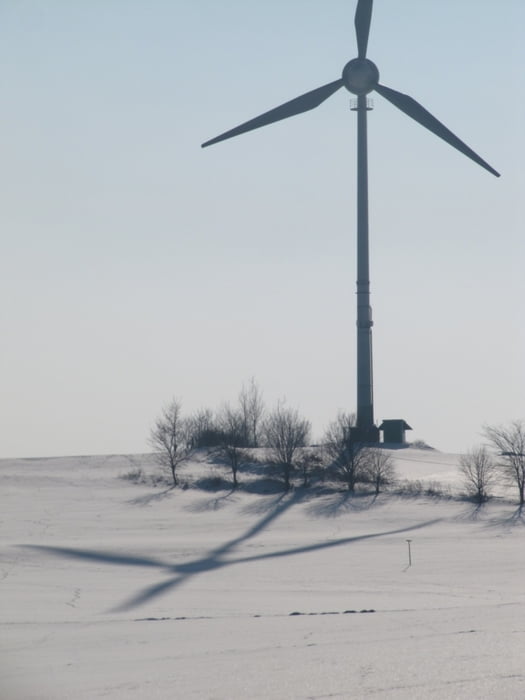
Von dort Oben hat man einen wunderbaren Ausblick über das ganze Umland und bis weit in´s Tschechische hinüber.
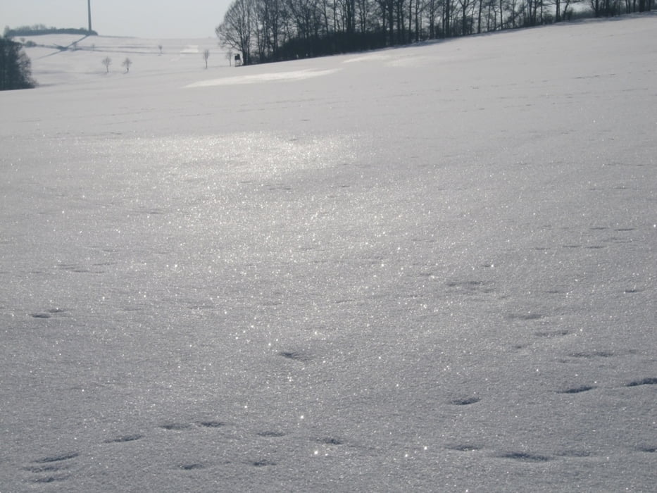
Landschaftlich hat die Tour natürlich auch allerhand zu bieten.
Viel Spaß dabei!!


Tour gallery

Tour map and elevation profile

  • Open Street Map
  • Google
Minimum height 290 m Maximum height 407 m Detailed view

More about the tour author

jantschi
Member since 2010

Send private message

Comments

jantschi on 11.02.2012

:-)

viel Spaß dabei! :-)

Hier kann man kostenlos parken, und da beginnt auch die Runde!

maps.google.de/maps


GPS tracks

Trackpoints
  • GPX / Garmin Map Source (gpx) download
  • TCX / Garmin Training Center® (tcx) download
  • CRS / Garmin Training Center® (crs) download
  • Google Earth (kml) download
  • G7ToWin (g7t) download
  • TTQV (trk) download
  • Overlay (ovl) download
  • Fugawi (txt) download
  • Kompass (DAV) Track (tk) download
  • Track data sheet (pdf) download
  • Original file of the author (gpx) download

More about the tour author

jantschi
Member since 2010

Send private message
Share track
Add to my favorites
Remove from my favorites
Edit tags
My score
Rate
Track: rund um / über den Schanzberg
Type: Cross-country skiing
Distance: 7,8 km
Evaluated on:
Duration:
Day(s)
Hour(s)
Minute(s)
Score: Landscape Fun factor Fitness Technique