

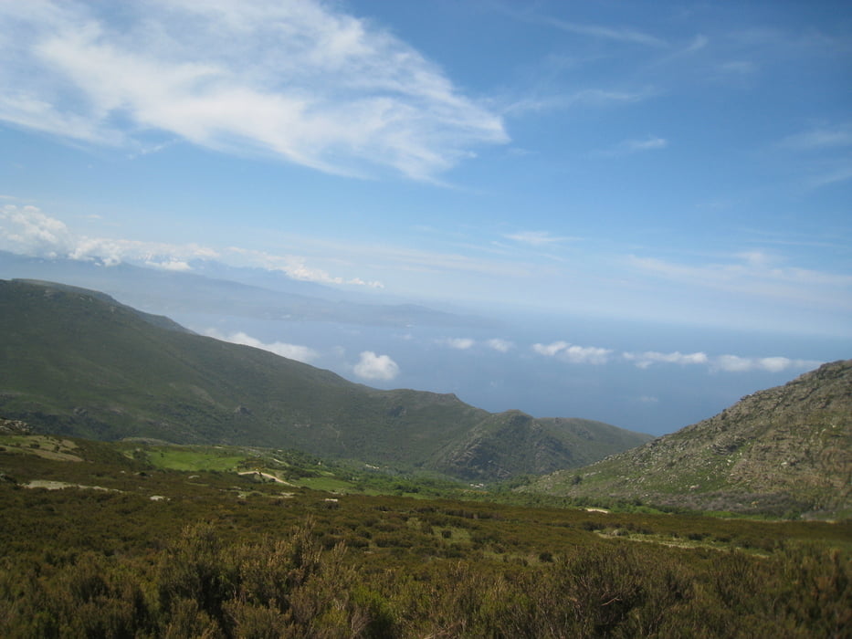
This track is just a proposal to go up and down in Cap Corse and Agriates by MTB or VTT even if most of the km have been performed on road. Having a full suspended MTB may be more nice in Agriates and to go up and down to San Giovanni pass.
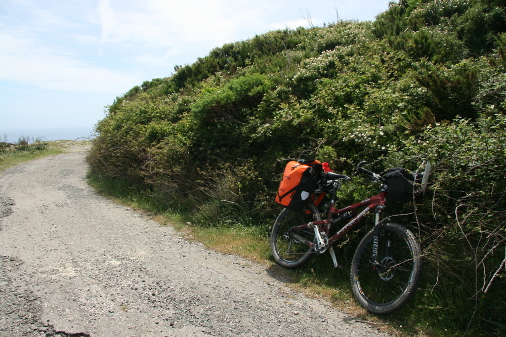
Many time there was some portage needed !!!!!!!
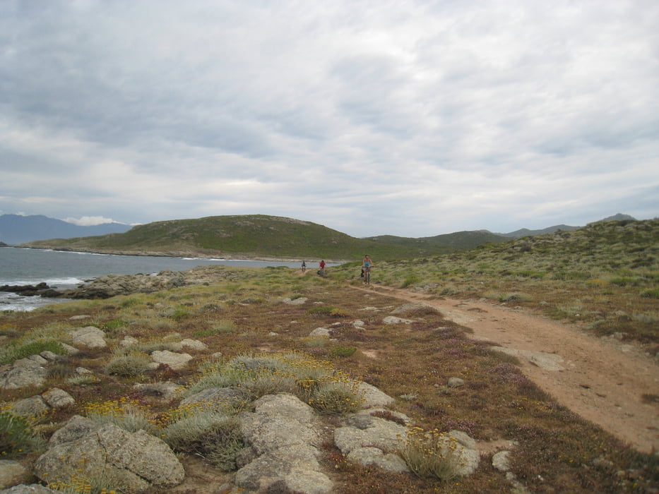
I can advise not to go by bike on the Agriates West Coast (from GHIGNU to OGLIASTRO: we had to carry most of time the bike on the shoulders ...... instead to follow my track on the coast it is better to follow more easiest road more far from the coast line. Please get more information before to go in Agriates
Please use 100000 map scale for general tour planning and wonderfull 25000 scale french map to find more proper road in details.
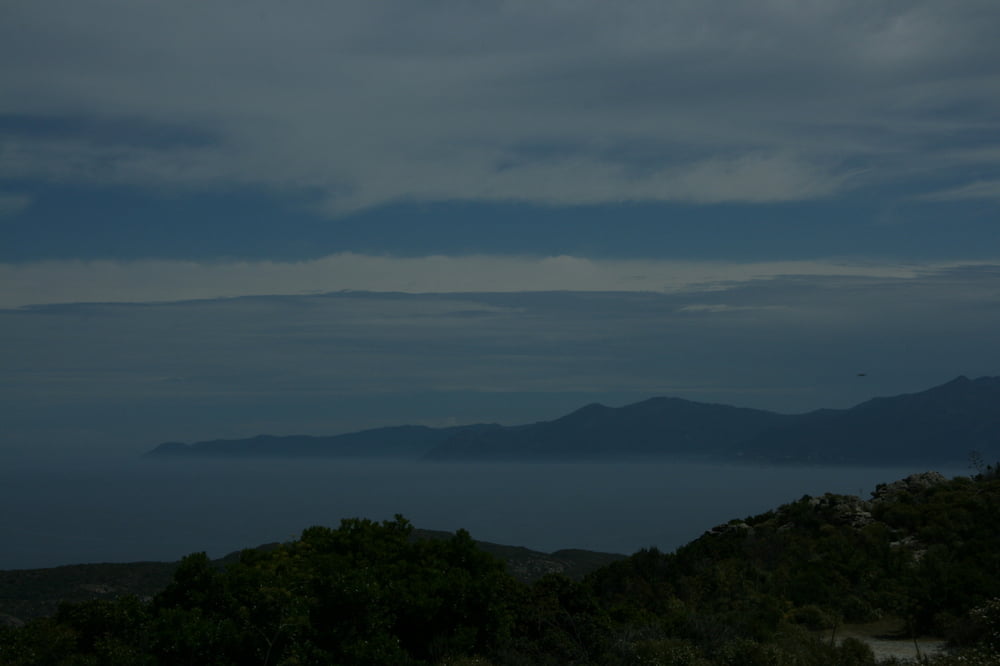
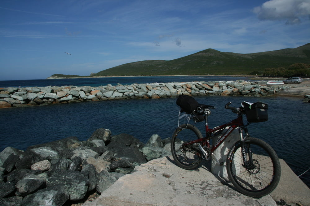
Tour gallery
Tour map and elevation profile
Minimum height -1 m
Maximum height 942 m
More about the tour author

|
eliope |
Comments

GPS tracks
Trackpoints-
GPX / Garmin Map Source (gpx) download
-
TCX / Garmin Training Center® (tcx) download
-
CRS / Garmin Training Center® (crs) download
-
Google Earth (kml) download
-
G7ToWin (g7t) download
-
TTQV (trk) download
-
Overlay (ovl) download
-
Fugawi (txt) download
-
Kompass (DAV) Track (tk) download
-
Track data sheet (pdf) download
-
Original file of the author (gpx) download
More about the tour author
|
|
eliope |
Add to my favorites
Remove from my favorites
Edit tags
Open track
My score
Rate