
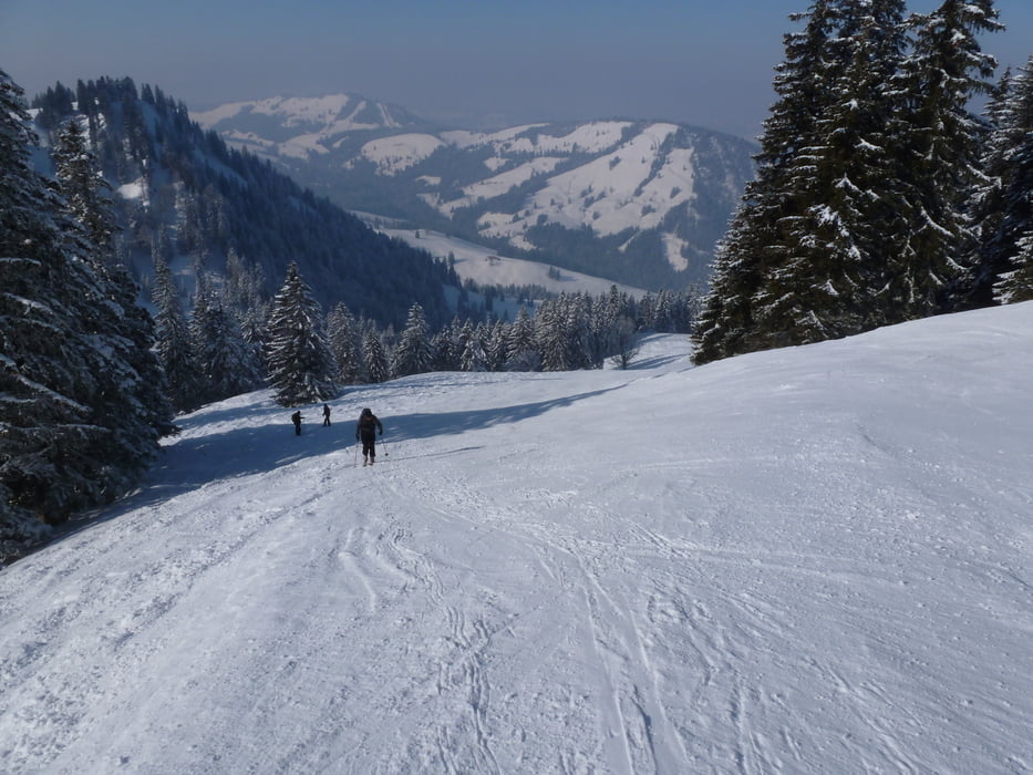

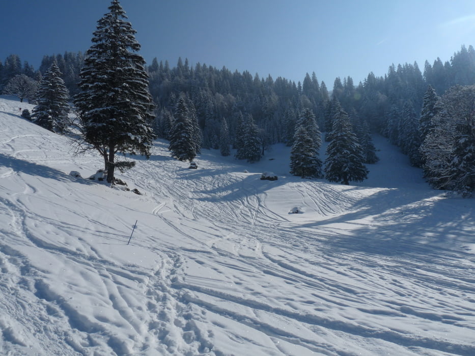
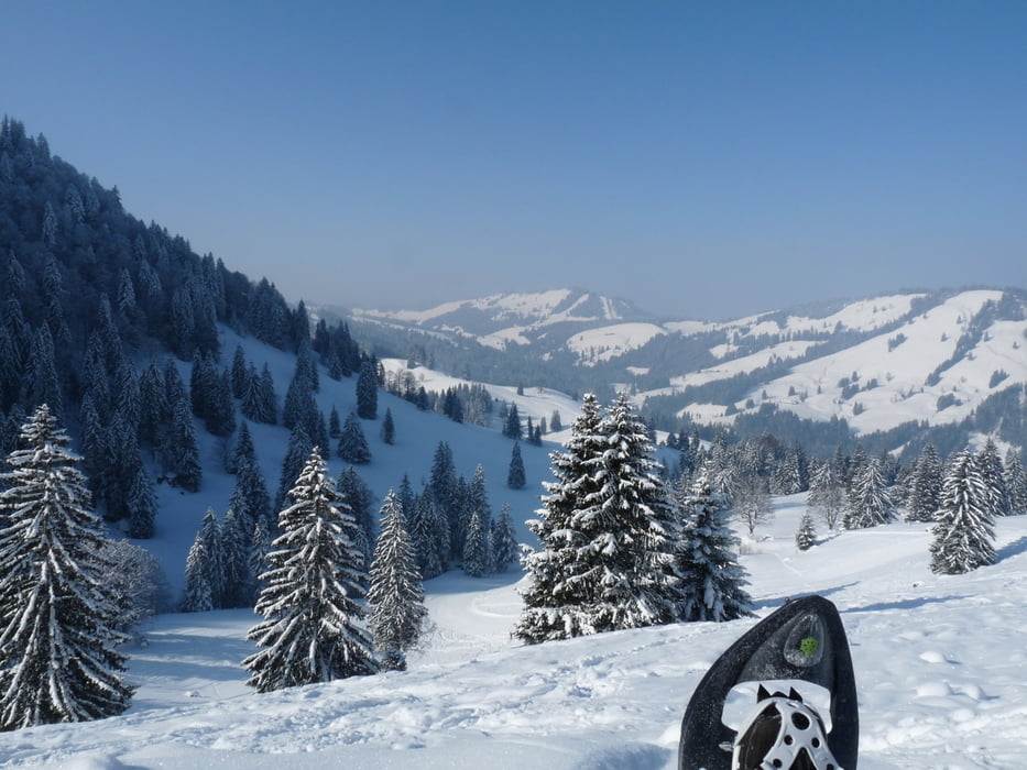
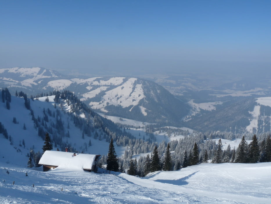
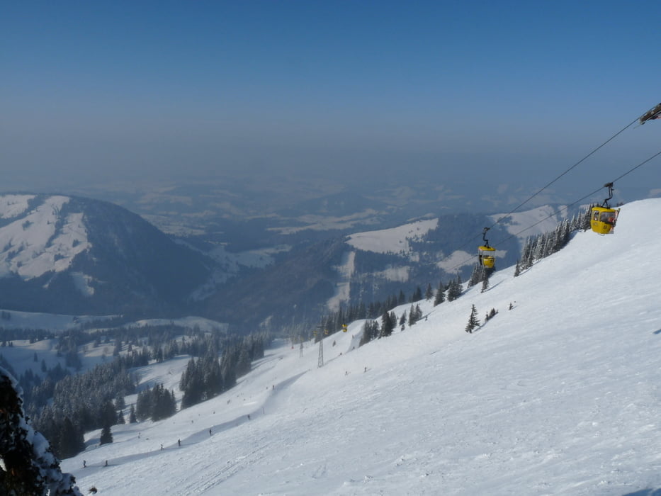
Von der Hochgratbahn-Talstation startend zunächst dem Forstweg und damit der ausgeschilderten Schneeschuh-Route 3 folgend, geht's unmittelbar nach der Brücke (ca. 200 m nach dem Start) direkt rein in's Tiefschneevergnügen und fortan abseits des Weges auf direktem Weg in Richtung Hochgrat mit zum Teil anspruchsvollen Rampen stetig bergauf. Oben angekommen, wird man mit einem fantastischen Blick in's Allgäu und die Lechtaler Alpen belohnt. Eine Brotzeit auf der Bergstation sowie ein schönes Stündchen in der Sonnenliege (mit Decken für die Mädchen!) und anschließender Talfahrt mittels Gondel (sportliches no-Go, aber was soll's).
Tour gallery
Tour map and elevation profile
Minimum height 847 m
Maximum height 1706 m
More about the tour author
|
|
Projektgruppe-nt |
Comments

GPS tracks
Trackpoints-
GPX / Garmin Map Source (gpx) download
-
TCX / Garmin Training Center® (tcx) download
-
CRS / Garmin Training Center® (crs) download
-
Google Earth (kml) download
-
G7ToWin (g7t) download
-
TTQV (trk) download
-
Overlay (ovl) download
-
Fugawi (txt) download
-
Kompass (DAV) Track (tk) download
-
Track data sheet (pdf) download
-
Original file of the author (gpx) download
More about the tour author
|
|
Projektgruppe-nt |
Add to my favorites
Remove from my favorites
Edit tags
Open track
My score
Rate