Login

Forgotten password?

Cookies have to be accepted!
Your browser's cookie functionality is disabled. Please enable this functionality.

Not a member yet?

Register now
Login

Available for registred users only

Log in to use this feature.

Forgotten password?

Cookies have to be accepted!
Your browser's cookie functionality is disabled. Please enable this functionality.

Not a member yet?

Register now
Filter
Categories
Advanced filters
  • Distance (km)
  • Height
Save filters Reset filter

TrackRank

QRCode

Technical data

Distance19,5 km Height1323 m Way down1340 m Duration00:00 h:m Date19.02.2012
Scores Author Landscape Fun factor Fitness Technique

Statistics

1330 Views Scores 107 Downloads Average
Rate
  • Track data sheet
  • Directions
  • Downloads

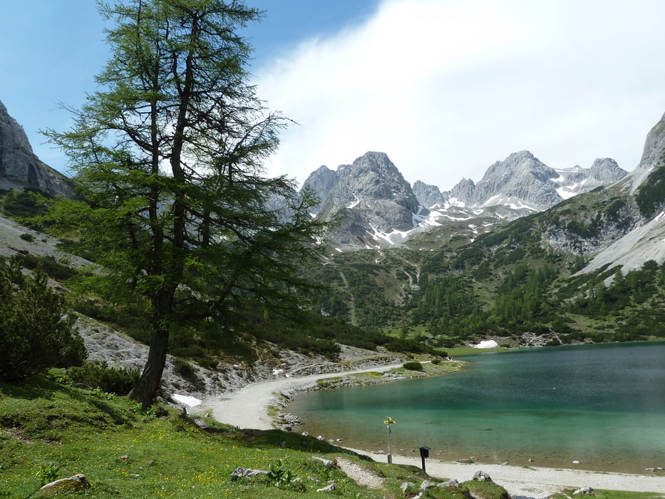
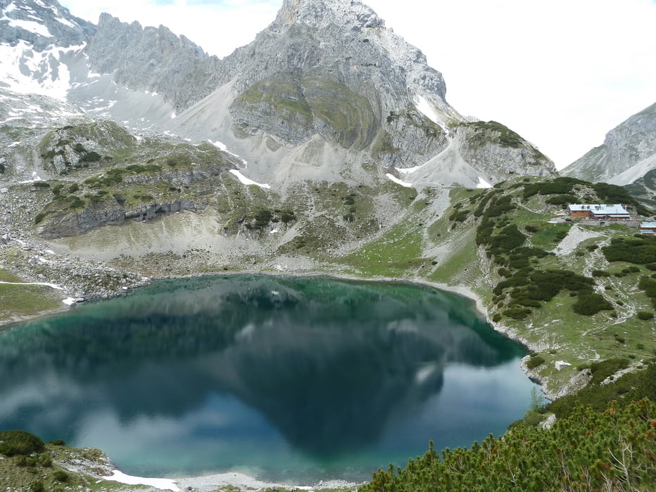
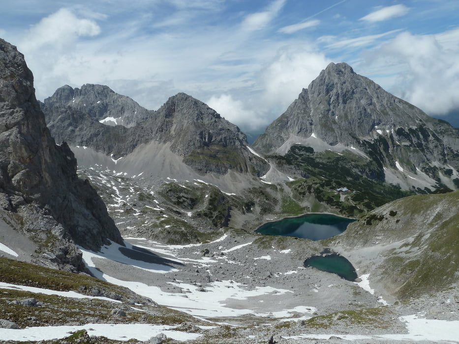
Eine der besten Touren der letzten Jahre! Alles dabei, was man bei einer richtigen Alpentour erwartet. Berge, Wald, Geröll, Schneefelder, Bergseen, 3 Hütten.....

Für den normalen Wanderer sollte man 4-6 Std. einplanen. Wer sehr fit ist kann zu Fuß in Ehrwald starten ich habe die Seilbahn bis zur Ehrwalder Alm genommen.


Tour gallery

Tour map and elevation profile

  • Open Street Map
  • Google
Minimum height 1091 m Maximum height 2251 m Detailed view

More about the tour author

koelner1977
Member since 2012

Send private message

Comments

Start/Ziel Bodenstation Ehrwalder Almbahn


GPS tracks

Trackpoints
  • GPX / Garmin Map Source (gpx) download
  • TCX / Garmin Training Center® (tcx) download
  • CRS / Garmin Training Center® (crs) download
  • Google Earth (kml) download
  • G7ToWin (g7t) download
  • TTQV (trk) download
  • Overlay (ovl) download
  • Fugawi (txt) download
  • Kompass (DAV) Track (tk) download
  • Track data sheet (pdf) download
  • Original file of the author (gpx) download

More about the tour author

koelner1977
Member since 2012

Send private message
Share track
Add to my favorites
Remove from my favorites
Edit tags
My score
Rate
Track: Seebensee und Coburger Hütte aus Rotherwanderführer -Zugspitze- Nr.43
Type: Mountain hiking
Distance: 19,5 km
Evaluated on:
Duration:
Day(s)
Hour(s)
Minute(s)
Score: Landscape Fun factor Fitness Technique